We did the loop without many side trips. The only small side trip we attempted was the Flower Dome. We started on July 4th, at around 12:30 pm. We drove to Spider Gap trailhead, unloaded our backpacks and one of our party drove the car back to the junction of Phelps Creek Trailhead Road and Chiwawa River Road (FS 6200). There is a small parking lot available at the junction. We finished the trip on July 7th at around 11:30 am.
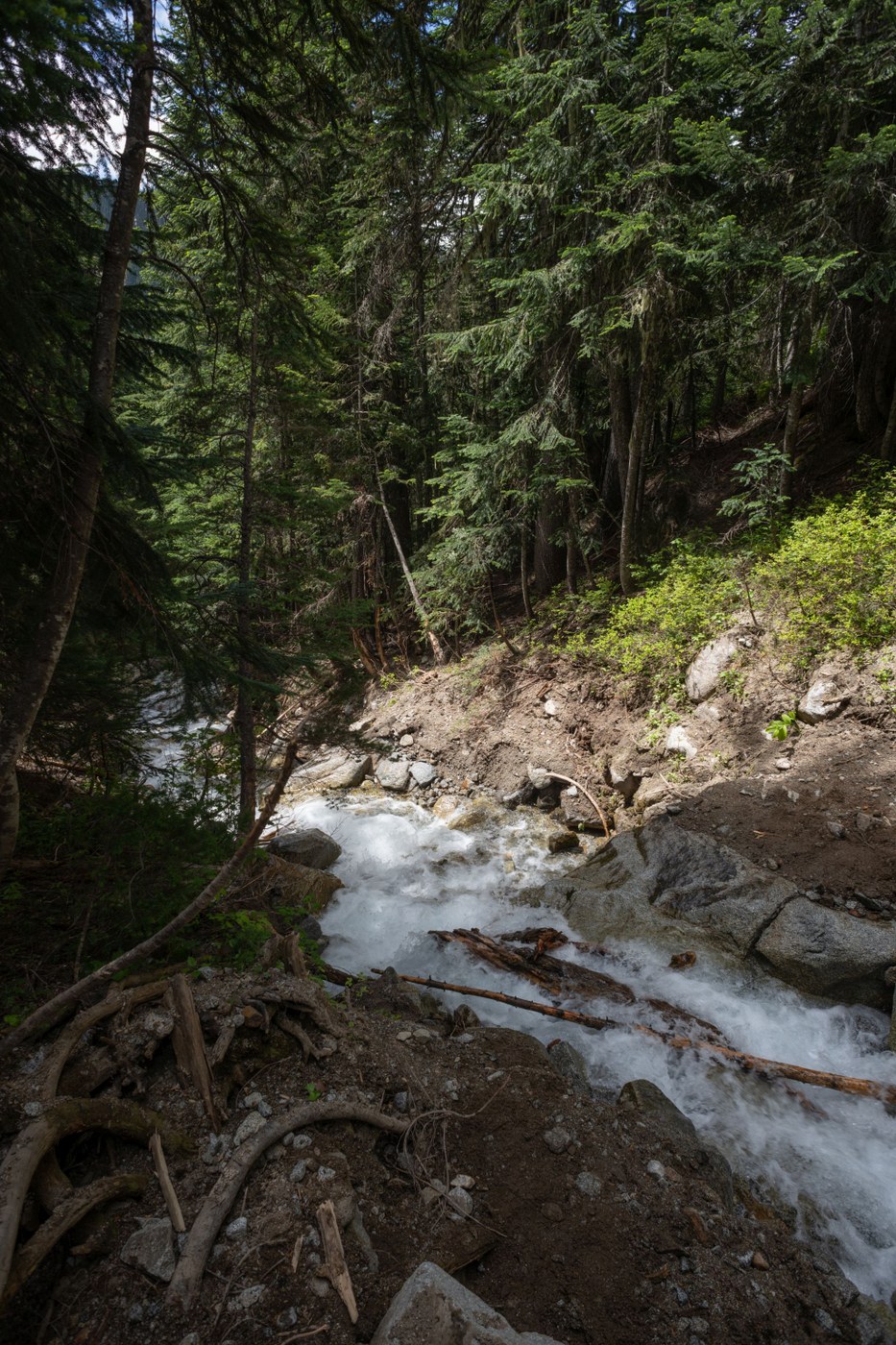
The first night we stayed at the campsite right before the junction of Phelps Creek trail and Phelps Creek Basin trail. There were two snow-free spots at the campsite with the rest of it still covered with snow. Bugs were not too bad here. Our way to the campsite was not difficult. Spider meadow section of the trail had many patches of snow, however, none of them made it difficult to navigate. The crossing of the affluent of Phelps Creek was somewhat difficult. It was doable for a taller person with the help of hiking poles without taking off shoes. The wildflowers in the spider gap meadow were starting to bloom, we saw plenty of glacier lilies on snow-free areas and many making their way through the snow.
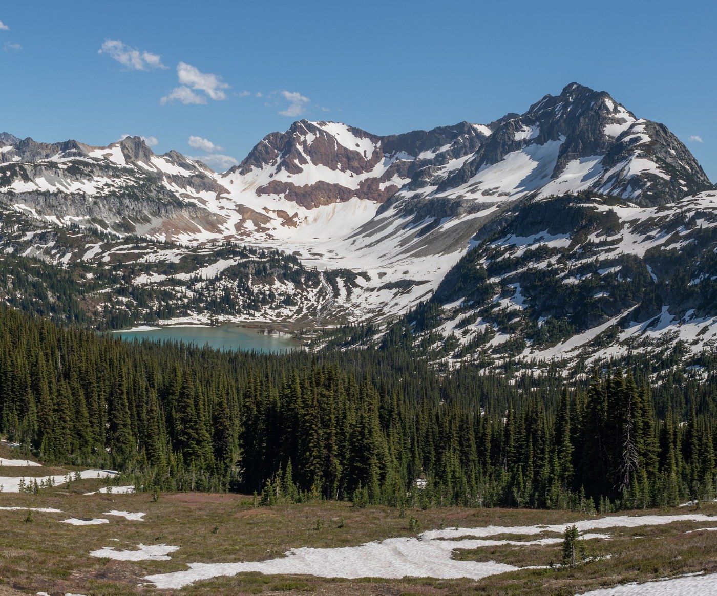
We started the second day with the ascent towards the Spider gap. The steep section on the trail leading to the beginning of Spider Glacier was mostly snow-free and wasn't difficult. The campsite right below the glacier was snow-free. We ascended Spider Glacier snowfield at around 9 am. Snow was soft, microspikes were helpful to have a bit more grip when going up. The view down to Upper and Lower Lyman lakes was great. The Upper Lyman lake was only partially snow-free, the Lower Lyman lake was completely snow-free. During the part of the descent towards Upper Lyman lake ice axes would have been useful as we were descending some steep snowy areas. Most of the trail from the Upper Lyman Lake to the Lower Lyman Lake was covered in snow. There were some foot tracks that made it easier to navigate, however, we lost the trail in one place; GPS and maps were very useful for this part of the trail. We had lunch by the Lower Lyman Lake and refilled our water. Some of the camp-sites by the Lower Lyman lake that are closed for restoration were snow-free. From the Lower Lyman lake to Cloudy Pass the trail was easy to follow. The meadow by Cloudy pass was beautiful, many Glacier lilies were blooming. We saw at least five marmots enjoying the sun at the meadow. We decided to take the hiker's shortcut to Suiattle pass (1229). We quickly lost the trail under the snow and ended up navigating off the trail just towards the pass. We had to cross some snow (ice axes would have been useful here), boulder fields and go up overgrown areas. This was probably the hardest part of the trip. There was an easier way to go through Suiattle pass as we learned from the other backpackers we met later. They went from Cloudy Pass to the junction with PCT and then reached Suiattle pass by going down PCT. This route is not on FSTopo 2016, but if you look at FSTopo you should get a good idea where this is. Our second night we spend at the campsite by Suiattle pass. The camping spot (48.1979, -120.9419) had a nice small stream by it and an opening (48.1972, -120.9417) for a great view of a Glacier peak. There is a small marshy area near the campsite and the bugs were really bad there, especially in the morning. Next morning we left the campsite without having breakfast.
On our third day, we headed towards Buck Creek Pass. Beginning of the day we spend following PCT which is definitely better-maintained part of the loop. On our ascent towards Middle Ridge, there were lots of bugs. When we ascended out of the forested area the trail turned into a stream and bugs were especially active. After getting on the other side of Middle Ridge the bug situation greatly improved. We had to take our shoes off to cross Small Creek, which was a nice refreshing break. We made it to Buck Creek pass by around 2 pm. We decided to leave our backpacks there and take a short trip to the top of the Flower Dome. We lost the trail under the snow several times and ended up going off the trail relying on our GPS. The view from the top of Flower dome towards Helmet Butte was great. Unfortunately, the view towards Glacier peak was partially obstructed by trees. We stayed at the campsite (48.1449, -120.9614) at the Buck Creek Pass. It was snow-free. The campsite has a great view of the Glacier Peak on a clear day.
On the fourth day of our trip, we woke up at around 6 am and headed towards Buck Creek trailhead. Most of the trail was snow free and downhill so we could go faster than previous days. This section of the trail has quite a few overgrown areas. The bridge across the Chiwawa river is still broken. There are also quite a few fallen trees on the trail, some of them a quite laborious to pass.
We enjoyed this backpacking trip a lot. We met two other group of backpacker doing the loop in the same direction as we are and two other groups doing the loop opposite direction.


Comments
jagerard on Spider Gap - Buck Creek Pass Loop
I was planning on doing this same loop next week. I was curious how the Chiwawa bridge crossing was? Is it pretty stable or really dicey?
Posted by:
jagerard on Jul 09, 2018 05:46 AM
laculp on Spider Gap - Buck Creek Pass Loop
The Chiwawa bridge was stable enough. It is broken in half, in a V shape. One half is just a log, and the other half has some planks. I kicked the log a couple times and it didn't move at all, so as long as you are ok balancing on the log that half is fine. The second half may have had planks that were loose, but we all stayed in the center and moved quickly so it was fine.
Once we were across the bridge we noticed that the side closest to Buck Creek trailhead has a pink ribbon across it (presumably to say you should not cross?).
The river was moving quickly, but it also looked like you could have forced the river if you had to.
Posted by:
laculp on Jul 09, 2018 07:40 AM
MafHoney on Spider Gap - Buck Creek Pass Loop
Planning to do this starting Thursday. How are the hammock camping options? And water sources?
Posted by:
MafHoney on Jul 09, 2018 08:05 AM
Vadym on Spider Gap - Buck Creek Pass Loop
Finding good water source was quite easy on all days. Creeks are fairly full as the snow is still melting. All creeks marked on the map are quite full and there are plenty of smaller ones. Regarding the hammock options, I would say one could use a hammock at all the campsites we stayed yet. Though I am not very experienced with setting hammocks up and using them on backpacking trips, so take this part of advice with a grain of salt.
Posted by:
Vadym on Jul 09, 2018 10:18 AM