→WTA website lists two "Goat Peak" trails. Trip reports are mixed up between the two. Be sure to read both to find the one you plan to take. ←
This report is for the trail that approaches Goat Peak from the south via the Goat Creek #959 trail and American Ridge #958 trail. The TH is across the street from the Cougar Flats campground on Bumping Lake Road, about 5.9 miles from junction with Route 410 (approx 46.917589, -121.230607). The road is entirely paved all the way, which makes for easy access. There's parking for ~5 cars and a pit toilet in the campground across the road (turn right at the entrance and walk ~50 feet, no driving necessary).
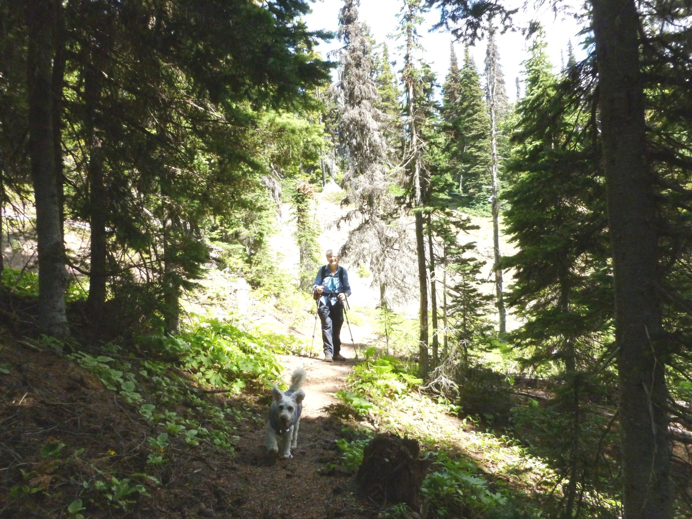
The beginning of the trail meanders through a flat area of significant blowdown, but the FS has cut a clear path. The flatness doesn't last long and the trail begins to climb. Some wildflowers were already a bit past their prime; nonetheless, for us it made slow going to stop, admire and try to name them all (see pictures in link). Goat Creek #959 is mostly through the forest, but occasionally breaks out for a view. At ~3 miles as you pass through a lightly wooded meadow, look to the north (your right if you're going uphill) to see Goat Peak. You will catch glimpses of it at a few more places before you're back in the forest. On this day hike, the only running water was an ephemeral stream at ~2.8 miles. If you're hiking with a dog, be sure to bring water for both your pet and yourself.
Goat Creek #959 intersects American Ridge #958 at ~4 miles. Near this junction, there are a number of logs where you can enjoy a snack or lunch before the last mile to Goat Peak. There are several large downed trees across the #958 as you progress north toward Goat Peak. With care, they are not difficult to go around. (My dog's harness occasionally got stuck on some of the protruding branches as she passed through.)
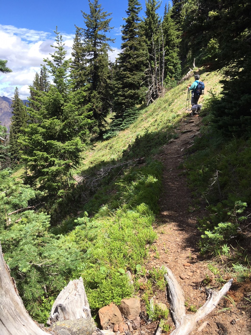
The last 400' of elevation gain is made in a series of short switchbacks of a narrow path on an exposed steep slope. We had no problem but could imagine that on a windy day or for someone not completely confident of their footing in slippery conditions, this could be a challenge.
We didn't pass anyone on our trail, but at Goat Peak encountered a couple who arrived via the Goat Peak trail #958C. Trailhead for #958C is on Rt 410 across from Hell's Crossing campground. They said it was very steep, dusty and exposed, with views at some of the switchbacks.
Apparently, these peaks provide low flight practice for military jets. More than once a jet went whizzing by just at peak top. The sound is deafening due to the valley walls.
For our return, instead of the switchbacks we took a barely discernible trail that heads southwest at the 3rd switchback from Goat Peak. There are several great viewpoints along this route, as well as lots of goat droppings. But we saw no goats. We lost the trail after about 1/3 mile and bushwhacked our way down the hill to rejoin the American Ridge trail and head south back to the Goat Creek trail. My GPS said 9.8 miles roundtrip and ~3300' elevation gain.
Links include pictures of the wildflowers, pictures of the trails #959 and #958, and a 360º video at the top.


Comments