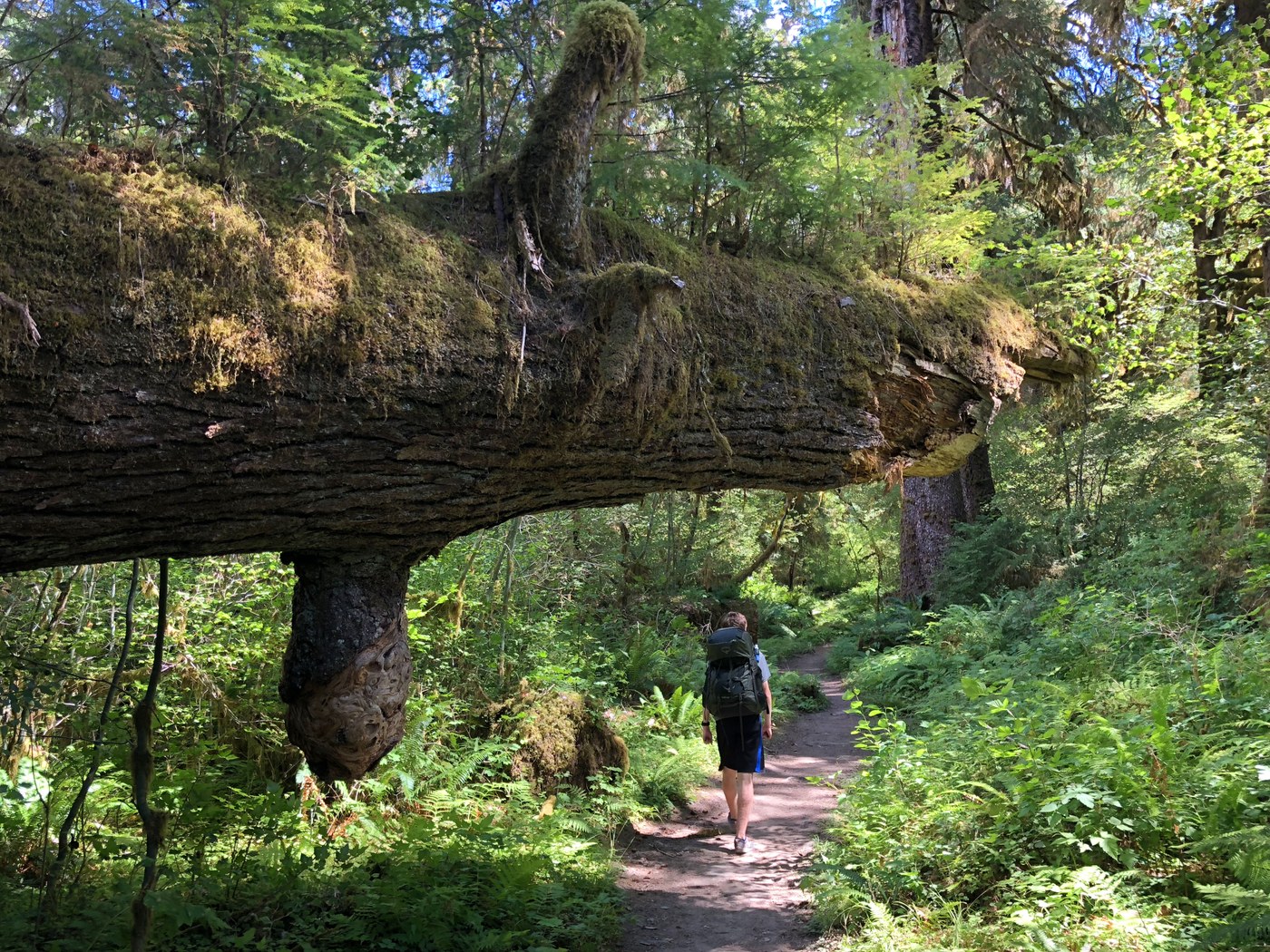
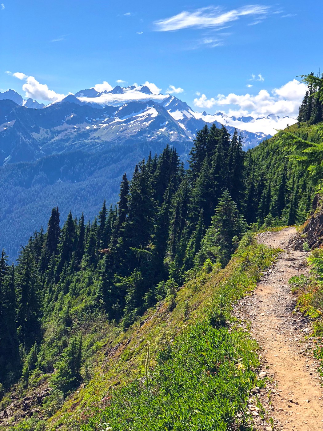
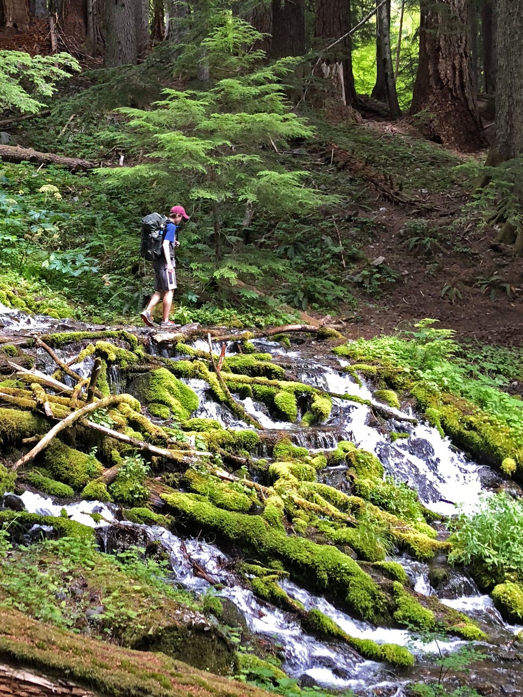
This trail is a terrific sample of what Olympic National Park has to offer - including rain forests, massive trees, wild rivers, alpine meadows, and glacier views. A bonus is that big portions of it are very lightly traveled.
We did this as a 3-day backpack, inspired by an article in 1999 Backpacker magazine which labeled the route as the Hoh-High Divide Traverse. The three days were 9.1, 15.4, and 19.5 miles respectively. For trailhead logistics, we parked a car at Storm King Ranger Station and used https://www.hikeolympic.com/ to shuttle us to the Hoh Rain Forest Visitor Center. The first night, we camped at the Olympus Ranger Station (also known as Olympus Guard Station); the second night was at Appleton Pass. Two attractive features of these sites are that (a) they have bear wires, so no need to carry a bear canister and (b) they are outside of the Seven Lakes Basin quota area, so no reservations needed. You still do need a wilderness permit, but these can be obtained by self-registration at the trailhead or from the ranger at the Hoh Visitor Center. This means no need to stop by the Wilderness Information Center in Port Angeles. A handy map describing wilderness campsites is available on the Olympic National Park site.
The first day was an easy 9.1-mile hike along the Hoh River Trail from the Hoh Visitor Center to Olympus Ranger Station. Here we set up at a beautiful and non-buggy campsite on the bank of the Hoh River. One tip we got from the ranger was to fill up water from the clear little stream right behind the ranger house instead of the very silty Hoh River.
The second day was a tough one in terms of climbing. The Hoh Lake Trail from Olympus Ranger Station up to the High Divide starts climbing right away - you'll climb 4400 feet over the 6.5 miles. There were a few downed trees across this trail, but all very manageable. Make sure to get water at the bottom, as there isn't much before the C.B. Flats group campsite. Hoh Lake is a great spot to stop along the way, and the views of the lake are terrific as you circle and climb around it. The 2 miles after the climb are probably the best alpine views of the itinerary. This is the High Divide Trail, with the whole of the Hoh River valley and Mt. Olympus opening up in front of you. We stopped at Heart Lake for a swim and lunch. From Heart Lake, you'll descend 2000 ft down the Sol Duc River Trail to that river. Shortly after crossing the river, make a turn onto the Appleton Pass trail and promptly gain the 2000 feet back to the pass. From the time that we made the turn onto Appleton Pass trail to about 1/2 mile from Lake Crescent (late the next day), we didn't see another person.
We camped at Appleton Pass, which has the small but handy Oyster Lake for water. The bugs at this campsite were brutal; we pretty much retreated to the tent to avoid them. The views of Mt. Appleton and the Elwha River drainage are terrific from here.
Along the High Divide, we spoke with a ranger who was surprised at our final day trail plans, asking us, "Are you doing this by choice?" - the point being that the route-finding along Aurora Ridge is difficult and that there is very little water - so I was a bit apprehensive going into the day. Turns out neither was an issue. All of the trails we traversed were in great shape and had all recently been cleared. Water should work out fine as well, as long as you fill up when available.
From Appleton Pass, we descended 2800 feet along a steep trail. The trail here, along the very pretty South Fork of Boulder Creek, was at times overgrown but not difficult to follow. Take the Boulder Lake Trail when you come to it at the bottom of the descent. This trail promptly regains 2800 feet as you climb through a nice forest. When you get to Boulder Lake, make sure to fill up with water, as this is indeed the last water for a while. But the trails from here on are easier. Next, make turns onto Happy Lake Ridge, followed by Aurora Ridge. These are very pleasant ridge trails with minimal up-and-down, so the miles go by fast. They are also well shaded, so were comfortable even on a hot, sunny day. Due to these two factors, water wasn't an issue, even with about 10 miles of no source. The trails also have continual great views into the surrounding valleys. The final set of trails - Aurora Divide, followed by Barnes Creek - were a very steep downhill of 4500 feet. Both are in great shape, having evidence of very recent trail work. The final 1/2 mile of the Barnes Creek Trail (the portion to Marymere Falls) was our first encounter with people in over 24 hours. It's amazing the solitude that one can find on a busy summer weekend in a national park.


Comments