
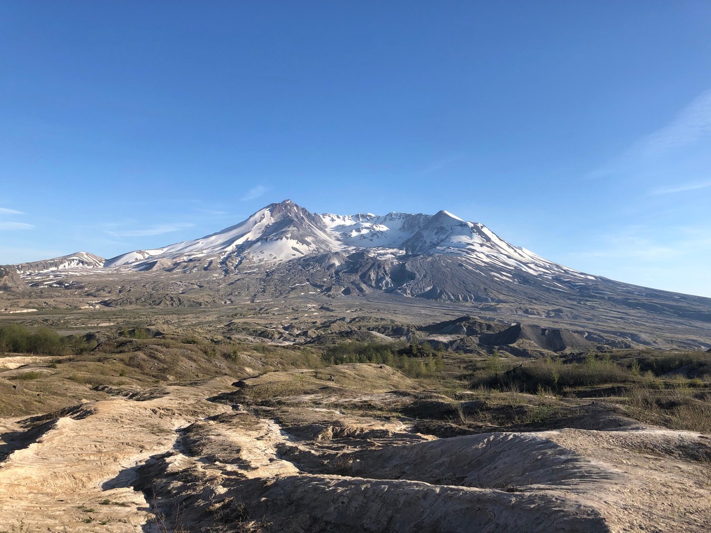
I arrived at the Hummocks Trailhead at 3:40 PM on Saturday 5/11 and found plenty of parking, more than half of the spots were empty. My intention was to solo hike and set up camp in the Plains of Abraham on the east face of the mountain.
I hiked along the Boundary Trail (#1) through the Hummocks to the junction with the Hummocks Trail (#229), turned left and continued on the Boundary Trail continuing up the hill to Johnston Ridge Observatory. The trail is in very good condition and the trail isn't very steep. The only source of water is a small trickling stream at about 3700' elevation. I imagine that this will dry up very soon.
From JRO I continued on the Boundary Trail to the junction with the Truman Trail (#207). I passed the last group of people at the top of the ridge and wouldn't see anyone else until close to this spot the next day. Again the trail is in very good condition. There are a couple steep sections, but overall the hiking is pretty easy. There is no water access between JRO and the Truman Trail at this time.
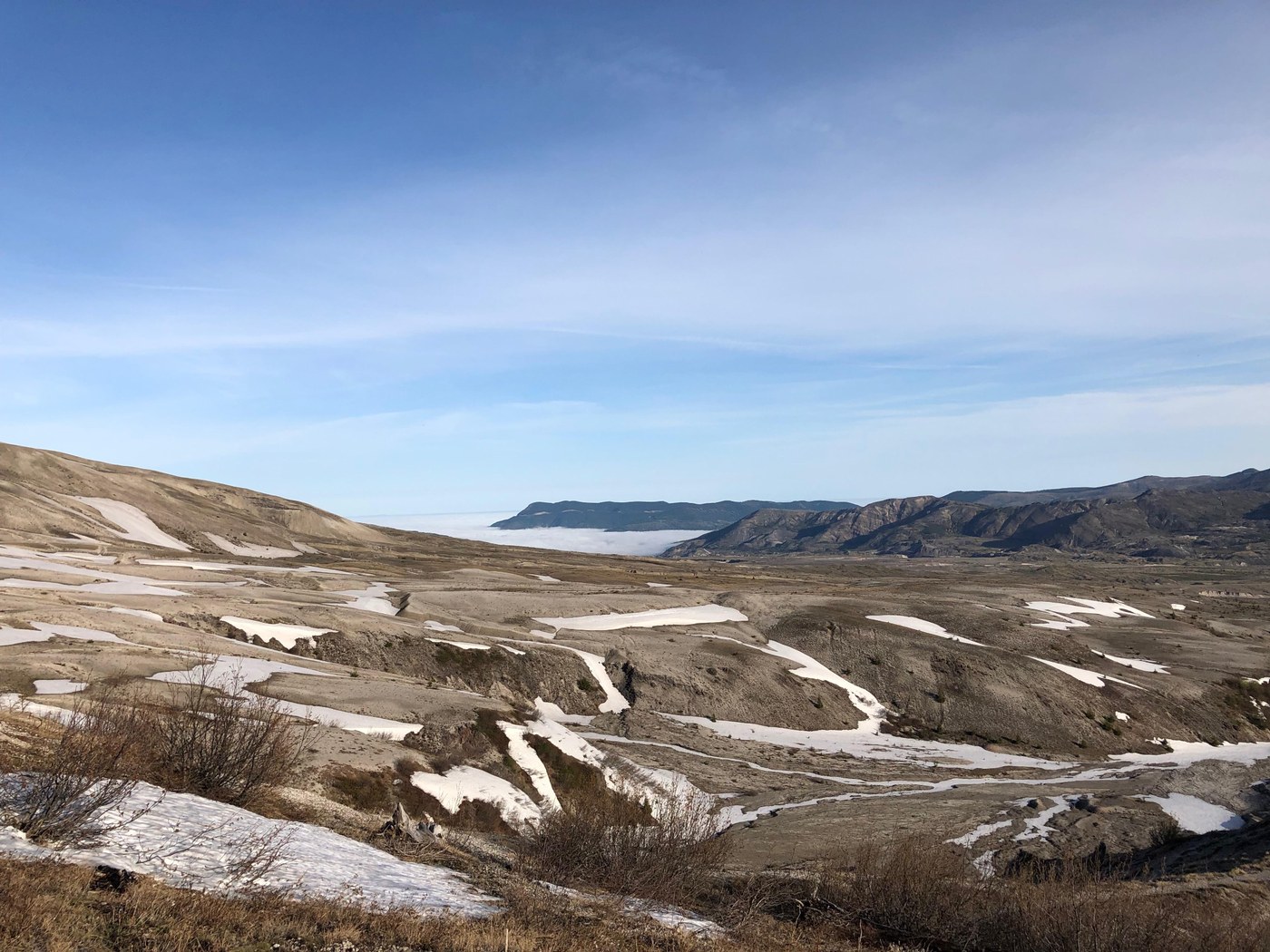
I turned onto the Truman Trail and found a very clear and nicely flowing stream very shortly after the junction. After this point, water is plentiful through the Pumice Plain. Hiking across the Pumice Plain is very pleasant with only a couple steep sections and very easy stream crossings. The trail is a bit sandy in spots.
I stayed on the Truman Trail until the road up to Windy Pass parking area (which is still the Truman Trail). I hiked up the road for a short distance to the junction with trail #216D (an alternate off the Loowit Trail). There were a couple very small snow fields to cross along the last mile of this trail, but they aren't very steep and were very easy to cross. I think these will be gone soon.
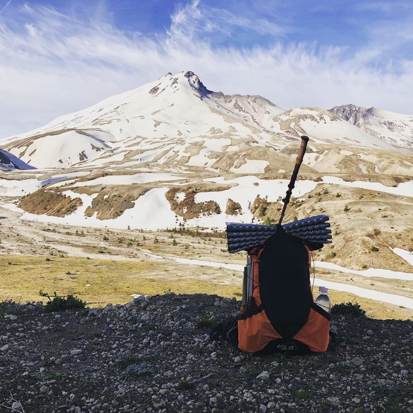
After turning onto trail #216D, the trail became very steep and once passing onto the east side of the ridge, the snow fields were plentiful and the snow looked quite deep. It looks like snow will persist here for a few weeks still. It was soft in the evening and easy to kick steps into. There were clear, flowing streams in each draw.
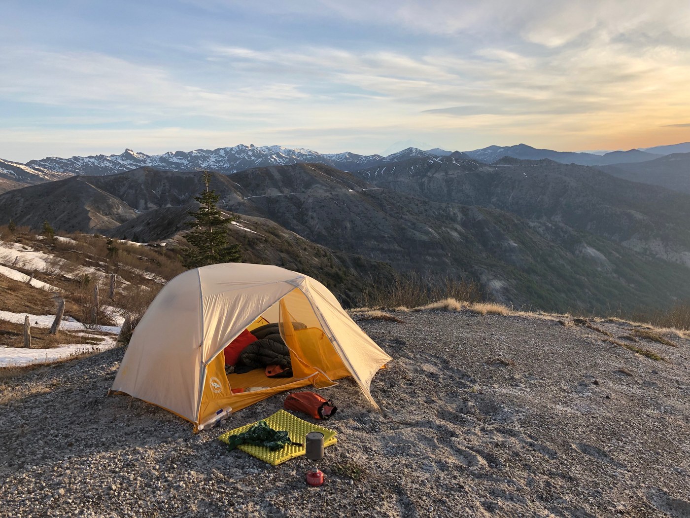
Ultimately, I got tired of the snow, stopping short of the Plains of Abraham and pitched my tent at 8:45 on a bare patch of dirt. My inReach traced this trip at 12.5 miles with 3000 feet of gain and 1000 feet of loss (so 1000 feet gain and 3000 feet loss on the return trip).
Sunday I traced my steps back to the Hummocks Trailhead.
Comments
I'm always getting confused with the camping situation at Mt St Helen's, and I'm hoping you can help.
You make sure you have whatever pass you need for the car, and then if you want to park overnight can you keep the car at say Johnston Observatory - or can you only overnight with the car at Trail heads? Also, do you need a permit to camp? Apparently, If I understand it correctly, you need one if you go above 4500'(or so) on the Loowit trail. Or is this the case for ANY trail /campsite? I'd like to solo in as you have done and spend a night there (loop or there & back) then go hike out the next day. Any Helpful pointers would be really helpful from someone who has done this. Thanks!
Posted by:
IronBoots on May 24, 2019 07:44 PM
Thanks to the trip report above we did spent two nights in the Plains of Abraham over MDW. We parked at JRO and because the observatory was open, we let them know that we were going to leave our car in the parking lot for a couple nights (which they said was fine). We followed jonbobcar's route out to the Plains but took the Loowit Trail back so we could stop by Loowit Falls. There are a couple of snow fields where we used microspikes but these will probably melt in a couple weeks. This map is really helpful in where you can/cannot camp: http://www.mountsthelens.com/images/usda-monument-map.jpg
Posted by:
makawanders on May 29, 2019 08:54 AM
Hey there, sorry for the delayed reply!
The map that @makawanders posted in response to you is a great guide to where camping is not allowed. Definitely follow it, the landscape out there is fragile and easily damaged.
You don't need a permit to camp on the Loowit trail. You do need a permit to camp in the "Mount Margaret Backcountry" which is north of Mount Margaret and Coldwater Peak (labeled on the map). The permit required to go above 4,500' on the mountain is a climbing permit.
I believe that overnight parking is allowed at all the parking lots and trailheads within the National Forest, as long as you have the Northwest Forest Pass.
Posted by:
jon.carstens@gmail.com on May 31, 2019 09:40 AM