
The confusing thing about this hike is all the names. Use the Monument Creek trailhead and follow the sign to Eureka Creek. The trail follows the Lost River. Got it? We talked next day with one person at the Robinson Creek TH who was confused.
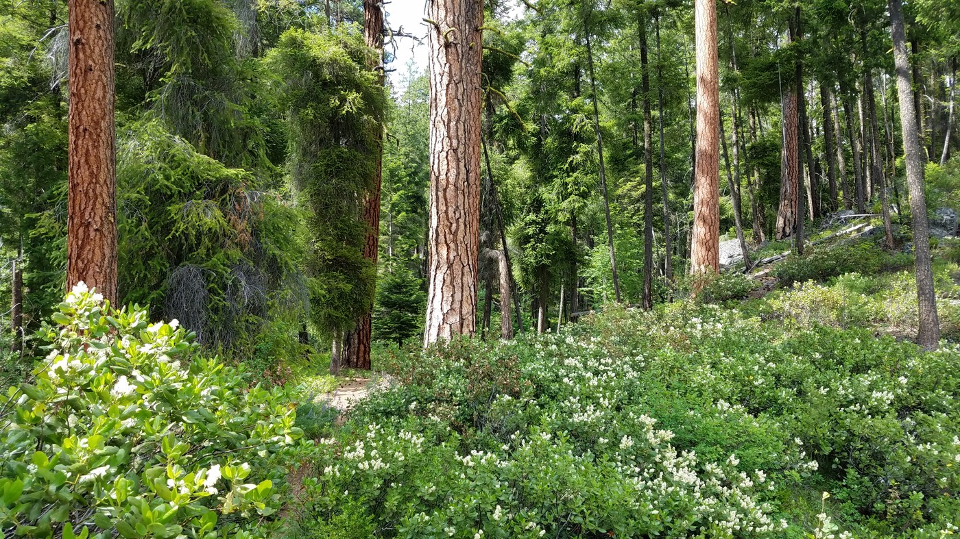
The trail initially heads up river, leaves the houses behind, enters the forest/woodlands, and follows along several large ledges. You pass by a campsite on the right a short ways in, then you enter a lovely swale with fine Ponderosa. While the trail generally climbs gently, it does that by going up and down so that our overall climb was about 800 ft out and back.
About the last one and one-half miles (before the trail's end at the bridge washout) was over talus and scree. Sturdy boots are recommended; flip flops are not. While the trail conditions were generally ok, some erosion is evident at the base of one scree slope that spills into the Lost River. We had lunch at a narrow shady spot near the remaining bridge abutment on Eureka Creek, which is 4.1 miles per my GPS. There is NO bridge. (Is this a trail on the way to being lost?) During our return we heard thunder and were caught in a brief rain shower, though we were pretty much dry by the time we arrived at the trailhead. It was a fine hike.


Comments