
Thanks to some suggestions from the Darrington and Glacier Ranger Stations, we did a 2 night/3 day backpack doing a clockwise loop starting at the North Fork Sauk River trail, up to White Pass and Blue lake. Blueberries, wildflowers, marmots, and mushrooms galore! Bugs weren't too bad with some pretty strong bug spray, but the flies were worse than the mosquitoes.
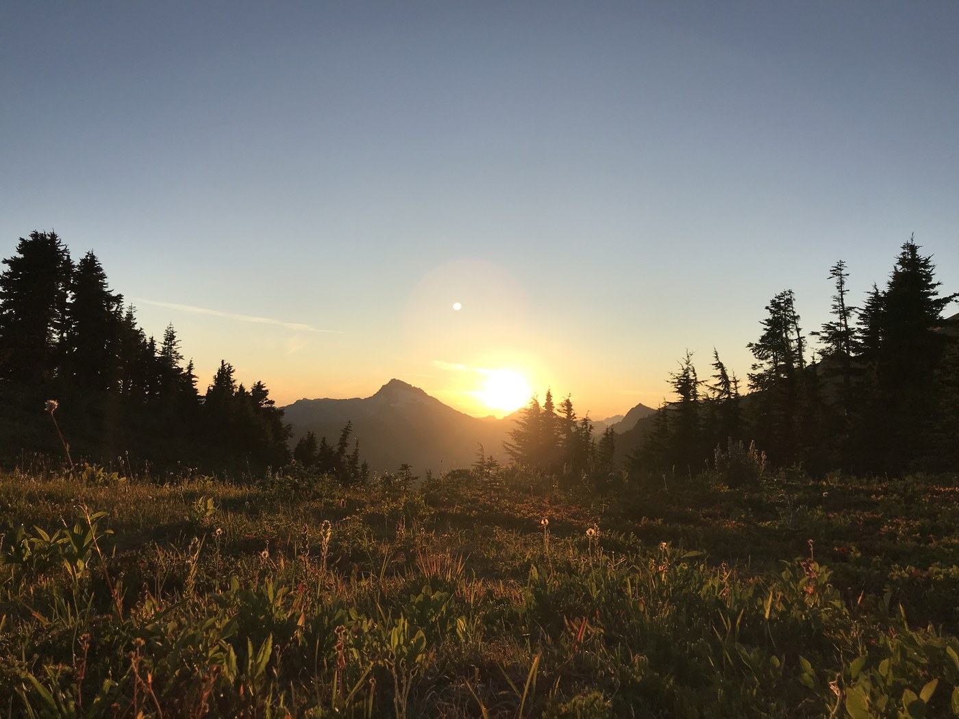
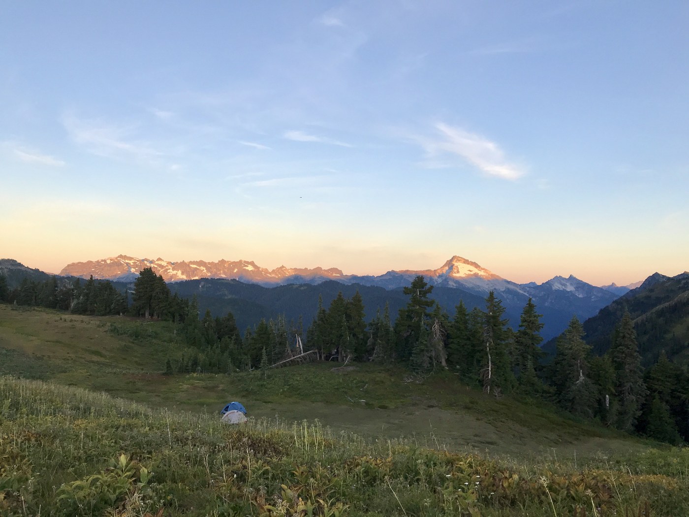
The first bit of the trail is pretty straightforward, hiking through the forest with the river right next to you. After about 5-6 miles, you'll pass a wooden structure by the river on your right, which is where you should fill up water as there is none between this point and White Pass. You'll start a pretty challenging climb, gaining 1000 ft elevation per mile for about 4 miles (half exposed and half in tree cover). Once the climb is done you start to traverse the mountain, walking through blueberries and meadows with peaks all around you. We camped at White Pass, and there were plenty of campsites to go around, and apparently a toilet (but I never saw it). The creek was pretty stagnant so we ended up having to backtrack onto the trail to find running water down a crevice in the mountain. The pass was an AMAZING place to watch the sunset/sunrise and do some marmot spotting.
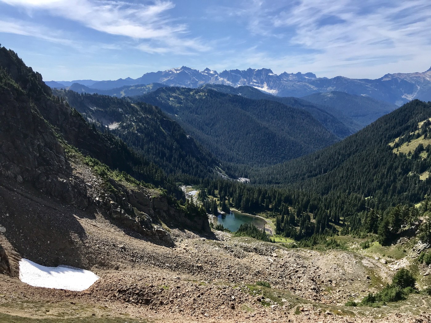
The next day we headed towards Blue Lake, hiking most of this day on the PCT. The trail was easy to follow, though slightly bushy at times, with more views (Glacier Peak!), valleys, and blueberries. After Dishpan Gap we decided to take the high route over to Blue Lake, which I would not do in snow, or recommend for anyone afraid of heights. This was a steep climb, with a pretty narrow trail and steep drop on one side, but was the quickest way to the lake. Blue lake is clear and swimmable, with plenty of campsites to go around. So beautiful!
Leaving blue lake, you'll head north and east (to the right side of the campsites) to catch the trail out. Fill up your water before you leave Blue Lake as there isn't any for about 6 miles. The last day was spent hiking along a ridge, which had some doable ups and downs, and then dropping about 3000ft in 3 miles (my knees are still hurting) to get back to the North Fork Sauk River, crossing the river on a log, and then heading back down the original trail towards the trailhead.

Comments