

This is a good hike if you want a workout. On a clear day, it would also be a great hike for the views, which purportedly include Mt. Baker, Mt. Shuksan, the Picketts, Hidden Peak, and so on. Purportedly, unfortunately, as on this day the clouds prevailed. Hopefully things opened up for those who arrived later.
It took me about three hours to get to the lookout. I was not pushing hard, but I was traveling pretty light, and I only stopped a couple times. Water is more available now than when I was last here, but it is best to fill up at the stream with the bridge, about two miles in. The trail itself is well-defined, but sometimes a bit skinny, with some pretty steep fall-offs. Easy enough to navigate, but there are places where it is wise to be mindful.
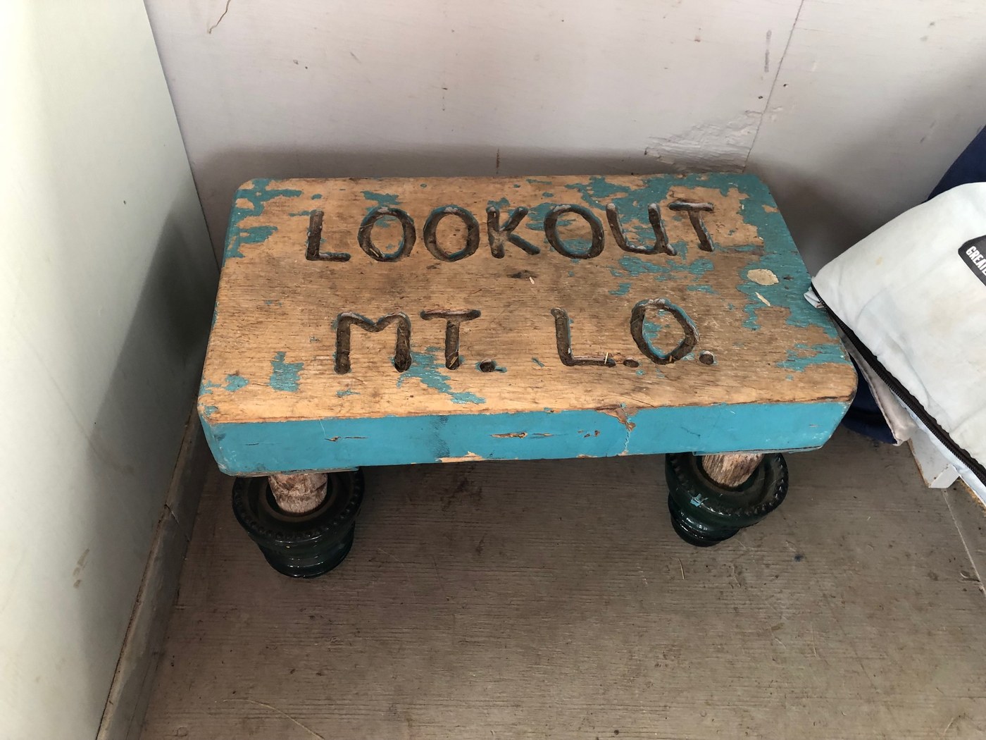
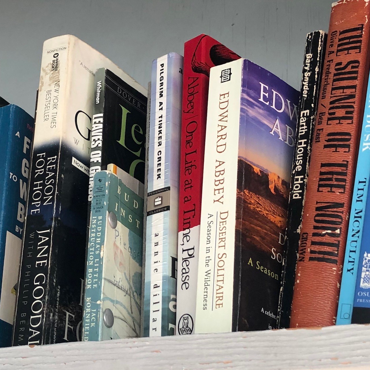
The work going up is steady. The woods and moss are beautiful. About 2.5 to 3 miles in, there are some clearings, with views down towards the Cascade River. The Lookout itself is kind of cool--a tower, with very steep stairs, and all sorts of little things inside worth checking out, like old books, a lightning stool, the log book, some old equipment (headlamp), and so on.
The fall colors are starting to come in. There are a few brushy places on the trail which could get a traveler pretty wet after a rain. It also was colder up high--I was glad to have an extra layer packed.
Earlier this year, I hiked Monogram Lake. Of the two routes, I felt like that one might've been a tad harder. They share the same route up to the junction at around two miles. The pitch up to Monogram after the junction seemed a bit harder. Both routes are pure North Cascades, with tons of moss, big trees, long views, and the feel that a bear might be just around the corner.
It took a little less than two hours to go back down. The hips and quads are squawking at me today about it. I think the overall ascent is between 4000 and 5000 feet. Early start meant empty trail, the whole way up. I saw about 15 people headed up on the way down, though presumably many were headed to the lake.
I think this hike may become a go-to hike for me if I just want to get some hard miles in. I like that the trailhead is a few miles outside Marblemount.

Comments