

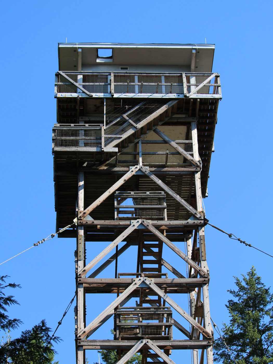
Quick walk up the Heybrook Ridge trail with a side trip along the utility easement all the way to the Heybrook fire tower Friday morning. We extended the normal walk following the utility easement over to the Heybrook fire tower as well for a total out and back of a bit over 6 miles. Parking at the Heybrook Ridge lot just before the Index bridge is plentiful and free. A single portipotti is available and functional. Our route took us up the traditional Ridge trail to the initial view point, then east along the power line easement, a short forest trail clearly designated by pink ribbons and then the final incline up to the fire tower.
All the trails, initial Ridge, power line and then the final ascent to the firetower are all completely dry and in good shape. The only marginally questionable bit is the brushy trail from the last power pole installation east and then curving roughly south through the brush to the first pink ribbon taking you on the short cut over to the traditional fire tower trail. Total mileage going this route is a bit over 6 miles out and back but only a bit additional vertical once you get to the initial RRidge view point.
Quite a bit of wildlife out this morning - bald eagles circling in the thermals, several raven, varied thrush, woodpecker, a number of garter snakes sunning themselves, doug squirrels, etc. Even if you don’t do the full traverse over to the fire tower, don’t miss the super cool “secret” viewpoint just a quarter mile east of the main Ridge viewpoint - better views and no powerlines. A beautiful morning.


Comments
Terrierpup on Heybrook Ridge, Heybrook Lookout
How did you get to the last pic and how far?
Posted by:
Terrierpup on Aug 12, 2022 10:52 PM
2nd view point
that last pic is from the 2nd view point about a quarter mile east of the main ridge view point - so just walk the utility easement 5-10 minutes east once you get to the top and it's on your right (south side) of the trail. It's easy, totally worth the extra few minutes.
Posted by:
wafflesnfalafel on Aug 12, 2022 11:20 PM