I wrote "Bugs were not too bad" because we saw a preying mantis so bugs were awesome, actually.
Leaving a quick trip report for two reasons. One, previous trip reporters noted they parked ~1 mile from the trailhead. Knowing they did not make it all the way, I resolved to see how far I could get in my Prius. I stopped two switchbacks shy of the trailhead, right where the road looked like it might become an issue. While walking to the trailhead and evaluating the road, I think I made the right decision; other cars/drivers might get closer to the trailhead, but I feel confident that anyone can safely reach the switchback where I parked. After returning home, I measured the spot using Caltopo and confirmed it is almost exactly 1 mile from the trailhead. I've attached a screenshot below so you can see exactly how far I got.
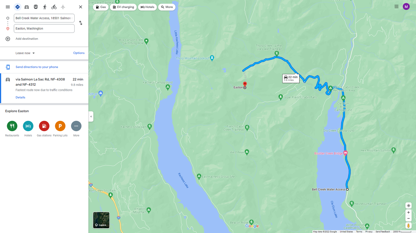
Two, WTA's written directions are great and will get you right to where you are trying to go. That said, DO NOT simply click "Open in Google Maps" and follow those directions. FR 4308-120 does not appear on Google Maps, so the algorithm will try to direct you via FR 4312, past a different trailhead for Thorp Mountain (via Thorp Creek and Thorp Lake). In other words, you will get to a trailhead, but not Knox Creek. The combination of WTA's written directions and the (accurate) maps on Caltopo helped us get to where we were going.


Comments