Started my hike up to the summit of Wilderness Peak from the Sky Country Trailhead. It was foggy as I headed out on the trail through the old Army Nike missile base. When I got up to Fred's Railroad Trail I got out of the fog for a while and even saw the sun for a moment. But when I was hiking on the Shy Bear Trail the fog was back. Gave an eerie look to the forest as I got to Shy Bear Pass. At the pass I took the "new" Wilderness Peak Trail. The old trail is now abandoned and covered with old trees and limbs. I had been up to Wilderness Peak last year on the old trail before the new one was finished. The new one is much better to hike with a less steep grade. After a few switchbacks I arrived at the junction with the Wilderness Cliffs Trail. I stayed left and hiked up to the viewless summit where there is a nice memorial bench which I used for a snack break. The old loop trail from the summit is no more, as King County Parks has closed it.
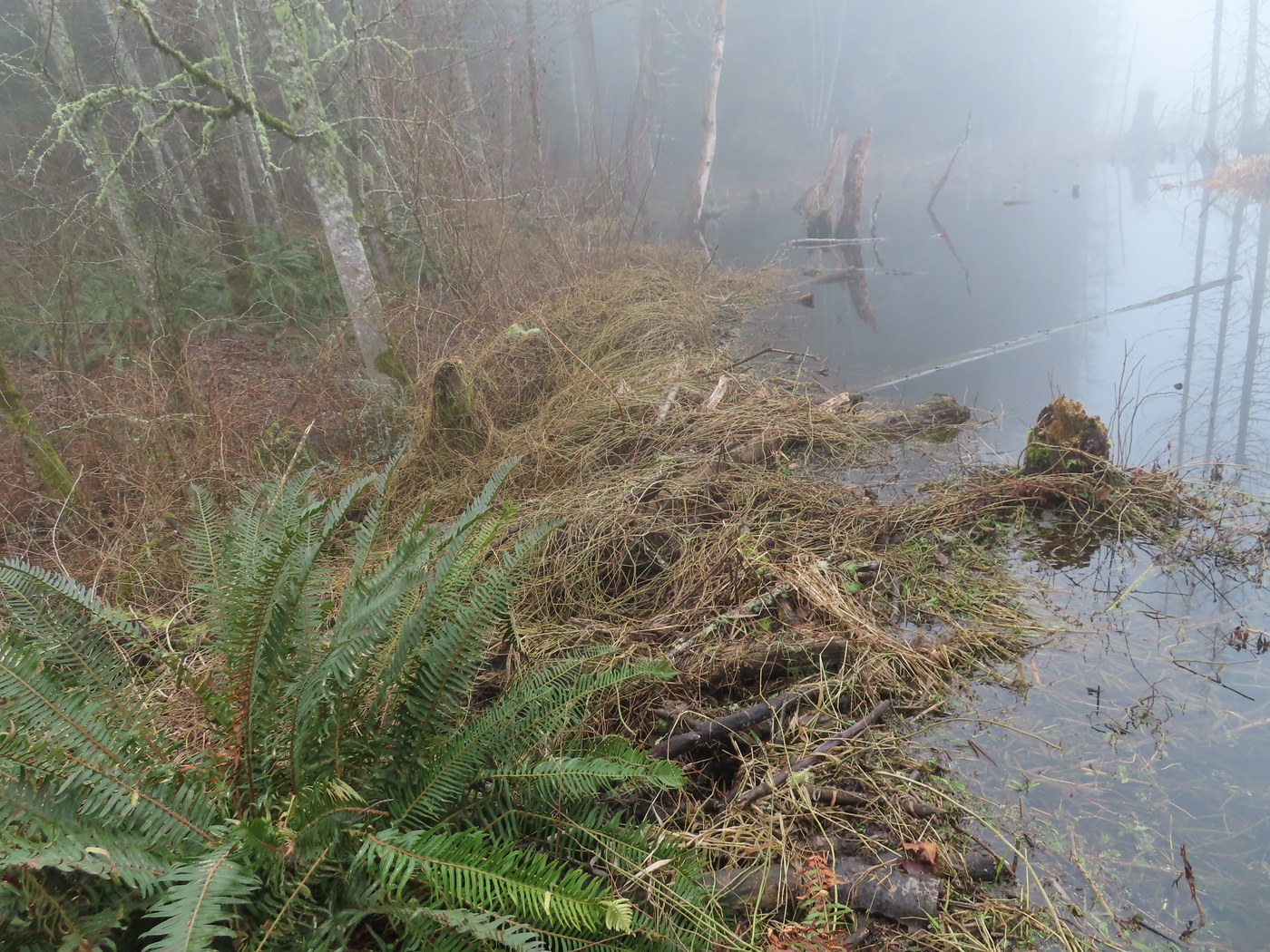
So, after having my snack I headed back down the way I had come up and took the East Fork Trail off of the Fred's RR Trail going to Jerry's Duck Pond. There were five Mallard ducks swimming in the pond. When I arrived at the old air shaft from the coal mining days it was lunch time, so I used the bench built as a Boy Scout Eagle project several years ago. After eating I hiked down to the Clay Pit Road, then took the Tibbett's Marsh Trail to the junction with the Cougar Pass Trail. This one had some muddy areas before getting down to the Klondike Swamp Trail. I took the KST out to the Clay Pit Road and walked it back to the parking lot. Along the way it crosses the North Fork of Coal Creek with a cement concrete box culvert. I took the short side trail out to the big beaver pond that covers Klondike Marsh. The beavers have built a huge dam over the creek and flooded the marsh. Then it was back to the parking lot to finish my hike.
I only met a few other hikers on my trip, some with dogs on leashes, plus two trail runners. So made for a good hike on a foggy day since there is no view from the summit of Wilderness Peak and I got to hike a new trail. George


Comments