Attempted to hike the entire loop counterclockwise as a single night trip, but ultimately stopped at Blue lake due to snow conditions and incoming thunderstorms.
The road to the trail isn't too bad, though there are a few spots you'll need to be careful if you drive a low clearance car; I saw a honda accord in the parking lot so apparently low clearance cars can make it, though if you have access to a high clearance car definitely use it.
The first two miles of the trail through the old growth forest are really nice, the trees are massive and the trail is very well maintained and pretty flat. After two miles, I crossed the river and climbed up to Pilot Ridge via the Pilot Ridge trail. The river crossing is easy, there is a large tree spanning the entire river that is easy to walk on and is not slippery at all. The climb up Pilot Ridge is STEEP, and there are no flat sections for several miles after you start climbing. All of the climb is in the shade fortunately, but it's still brutal, and if I were to attempt this loop again I would definitely try going clockwise. There is a stream about 2/3 of the way up, but apart from this the trail is dry from the river crossing to blue lake.
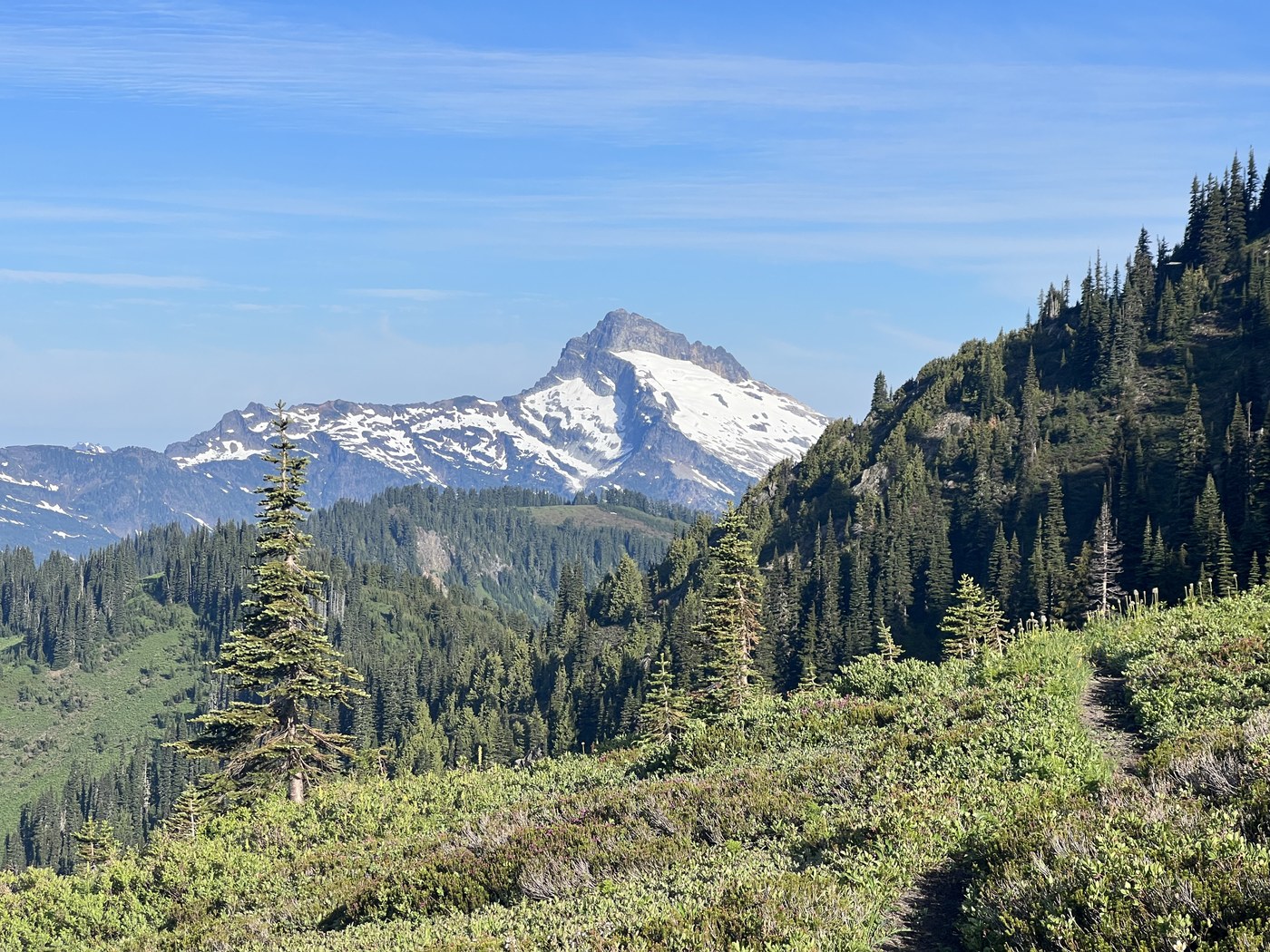
Once you make it to the top of the ridge, the trail continues to climb a mile or two along the ridgeline before finally breaking out into meadows a few miles before Blue lake. The view from the meadows is absolutely amazing! Flowers were just starting to bloom, and I had phenomenal views of Monte Cristo and Sloan Peak. The trail is slightly overgrown in spots but isn't too difficult to follow.
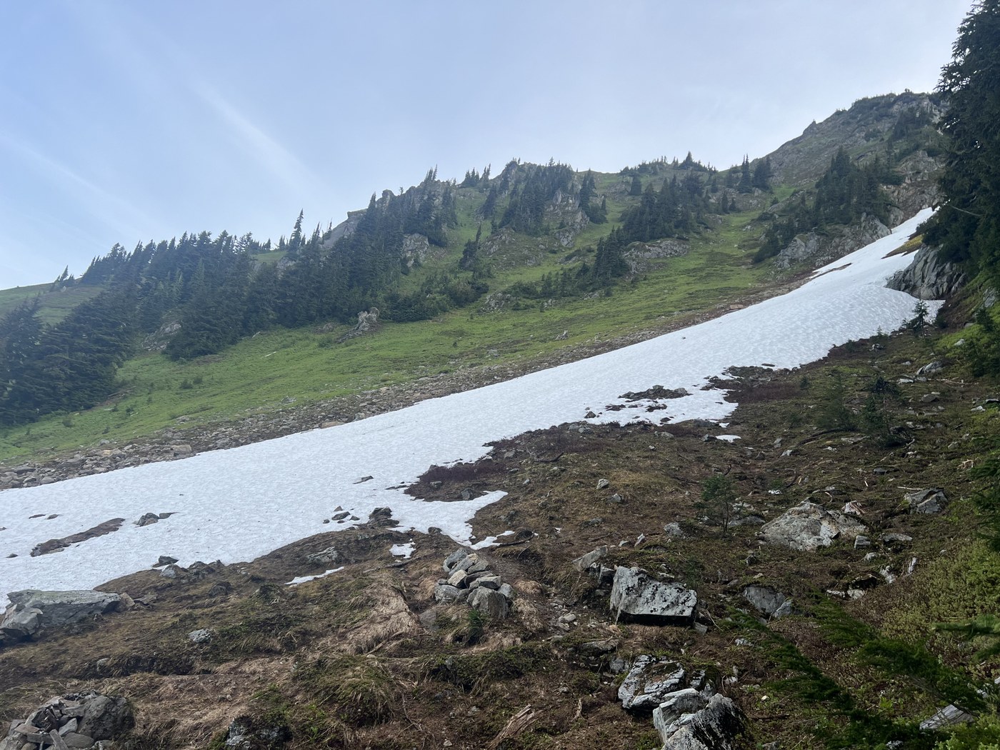
There are a few small patches of snow heading up Pilot ridge, and there are a few larger snow patches starting about a mile away from Blue lake. They were crossable, but a few of them were a little sketchy. I imagine they should be gone in a week or two. I decided not to continue past Blue lake because I saw some steep snow patches on the trail between Blue lake and the PCT, and didn't want to test my luck; They may be passable currently, but certainly should be in a week or two. I was able to see the trail up to white pass from pilot ridge and saw no significant snow to speak of, so I think the only potentially difficult stretch of trail would be between blue lake and the PCT. On the way back I climbed Johnson mountain, which was snow free and had a great 360 view. Overall I recorded about 22 miles and 7000 feet of elevation.


Comments