Trip Report
East Fork Foss - Necklace Valley, Dutch Miller Gap, Waptus Lake via Waptus River, Ivanhoe Lake & Williams Lake — Wednesday, Jul. 4, 2007
 Central Cascades > Stevens Pass - West

Tackled Necklace Valley to Salmon La Sac via La Bohn Gap, and Dutch Miller Gap the four days following July 4th.
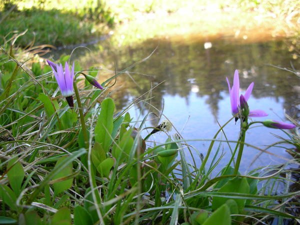
Trail #1062 from the Necklace Valley trailhead to the river crossing is is in superb condition! There is much evidence of bear in the area. The bark had been striped from the base of many spruce trees near the river crossing - must be eating the sap. The remaining distance to Jade lake had a few blow down but all are negotiable. Necklace Valley is just unlocking and all the lakes are snow free to the head of the valley. Many flowers are starting to bloom and the bugs are out in mass. Snow line is about 4500-5000 feet. One should be prepared for the pass at the head of Necklace valley - carry and use ice axe. La Bohn Lakes are completely covered with snow. However the views were outstanding with the beautiful weather! Many of the Peaks were visible.
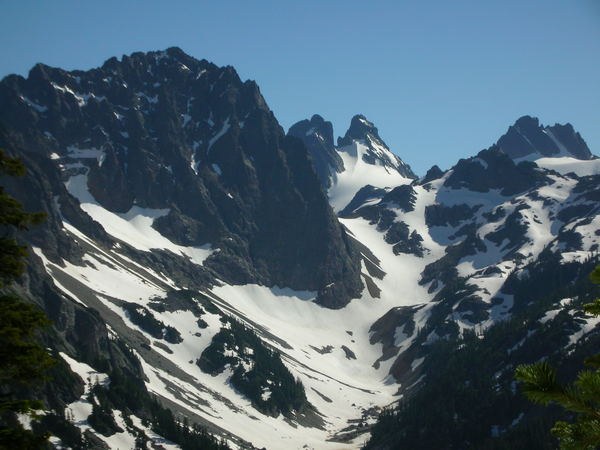
The route down to Williams Lake is passable with the snow line again about 4500-5000 feet. Beautiful camps at williams lake with outstanding vistas to the the nearby peaks: Bears Breast, Summit Chief and Chimney Rock. Even a few goats were grazing on the slopes. The Williams lake trail #1024 down to the Middle Fork of the Snoqulamie is sketchy from the lake shore as the snow is still melting out. Find the trail clear at around 4000-4200 feet. Route is clear with no blow down.
The route up to Dutch Miller Gap #1030 is clear of snow until about 4500-4700 feet. The trail is in good condition but there is evidence that much rain had flowed on the trail at some time last fall/winter. Snow at the top of Dutch Miller Gap with nice views of Lake Ivanhoe and down to Waptus Lake. Circumnavigated Lake Ivanhoe on the east side to avoid exposure on the west side of the lake. Steep snow fields linger at the base of the cliffs and extend partially into the lake. Bridge is also destroyed at the south end of the lake connecting to the west shore line. East shore trail was the correct choice.
From Lake Ivanhoe down to the valley floor Trail #1362 was very brushy. This trail is not used often and is over grown in many places. A little patience revealed the trail though. The Chief Creek requires a ford right now - the water run-off is high but negotiable. The bridges at the Waptus river and Spade Creek are intact. However, many blow down remain on Trail #1310 between the junction of the Pacific Crest Trail and down to Waptus Lake.
Good trail between Waptus Lake and Salmon La Sac. The foot bridge is out at the crossing of Spinola Creek - used the horse ford.


Comments