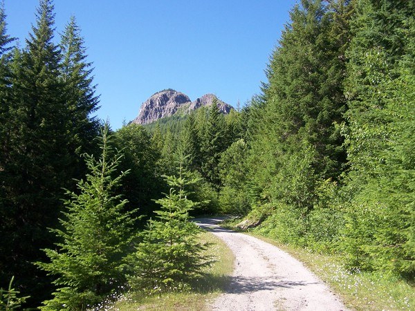
Tongue Mountain is a surprisingly easy hike to an invigorating* vista of Gifford Pinchot National Forest, the Cispus River and the three peaks of southwest Washington.
The hike is less than two miles, but gains 1,300 feet. The first half is under a mile and follows the Juniper Ridge motorcycle trail through forests. There are ruts, but not ankle-breakers.
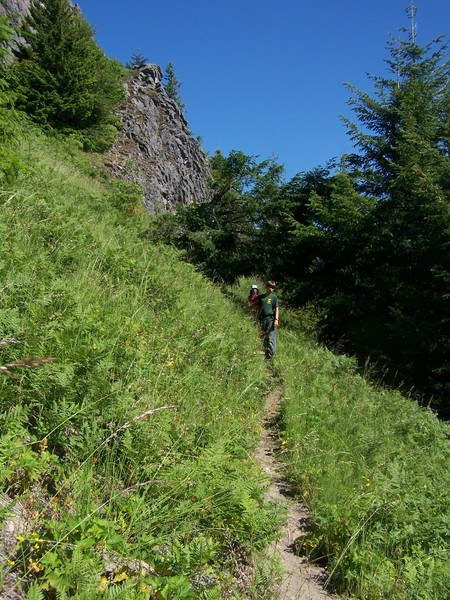
The second half is a hiker-only trail with a number of switchbacks ultimately above the treeline. It is also less than a mile and ends at the saddle between the peaks of Tongue Mountain. A scramble to the top of the southern peak is possible.
The view is spectacular because the trail ends with a 3,000 foot cliff to the Cispus river valley.
We went on a Sunday afternoon of rare sunshine, but saw no hikers or motorcycles. The area is notoriously buggy, but we had breezes sufficient to keep them away.
Reaching the starting point required driving eight miles south of Randle, WA on pavement, then another eight miles on gravel. The roads were decent, but there is one patched washout which our minivan was able navigate only with extra caution.
Maps
Green Mountain 333
GPNF map
http://www.fs.fed.us/gpnf/recreation/trails/maps/cvd-juniper-langille.shtml
GPNF trail information
http://www.fs.fed.us/gpnf/recreation/trails/locations/cvd-0294-tongue-mountain.shtml
* “invigorating” could be a euphemism for “terrifying” for some folks.


Comments