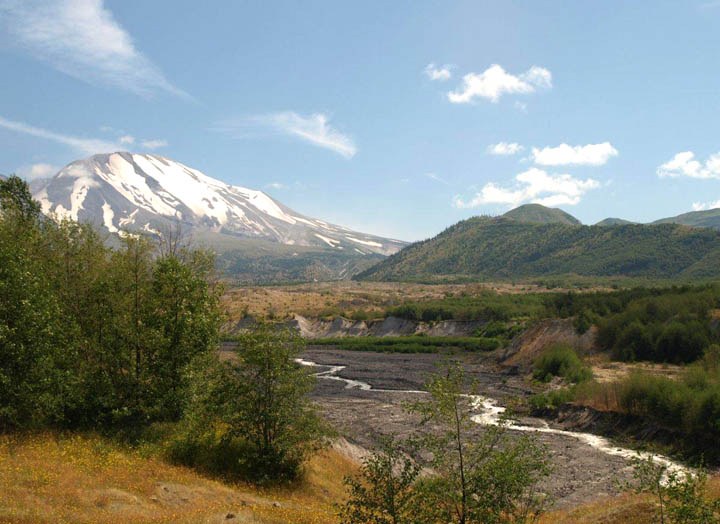
Lush vegetation now covers the towering gravel mounds and the ponds in between them. Interpretive signs describe features along the first quarter mile of trail as the loop meanders through these hummocks, which have been mapped by scientists to their respective spots on Mount St. Helens' former summit. Let little ones know that cool piece of trivia before pointing out the recuperating alder forests and exploring the ponds and wetlands.
The best view of Mount St. Helens is at the junction with the Boundary Trail, about a half mile from the trailhead. For a short and fairly easy hike, turn around here. Going on involves descending and ascending some steeper trail sections. Some trip reporters recommend hiking the Hummocks Loop in the counterclockwise direction for a steeper descent at the beginning of the hike and easier ascents at the end.
Look for resident wildlife, since this area is habitat for elk, beaver, waterfowl, great blue herons, frogs and newts. The forests are a bird mecca in spring, so this trail is a stop on the Great Washington State Birding Trail. Keep an eye out for these critters, but remember: The area is still recovering from the eruption, so please stay on the trail and respect the habitat here.


 Trailhead


