Hike-a-Thon 2023: Explore and Support Trails During the Month of August
Hike-a-Thon — WTA's annual fundraiser — is a great opportunity to enjoy your favorite trails and discover new ones. It’s also a great way to power WTA’s mission — mobilizing hikers and everyone who loves the outdoors to explore, steward and champion trails and public lands.
From your local park to deep wilderness, WTA believes in creating trails that will stand the test of time. Below you’ll find hikes throughout Washington that encapsulate our work at WTA. Explore and support these trails during the month of August by participating in Hike-a-Thon!
The Trail Next Door
WTA's Trail Next Door campaign is ensuring nature is always in reach by working in parks in neighborhoods and cities to increase access to green spaces across Washington.
When you're trying to get in some extra miles during Hike-a-Thon, turning to your local neighborhood trail is one of the best ways to get outside without much travel time.
Grass Lake Nature Park
Location: Olympic Peninsula -- Olympia
Mileage: 1.5 miles, roundtrip
Elevation Gain: 194 feet

Stroll through the wetlands at Grass Lake Nature Park. Photo by Doug H.
Frequently described as a “little hidden gem” in trip reports, Grass Lake Nature Park is a peaceful stroll around the wetlands in Olympia. Spend an afternoon here watching birds on the lake or taking a peek at the variety of native plants.
> Plan your trip to Grass Lake Nature Park using WTA's Hiking Guide
Riverside State Park - Trail 25 410 Loop
Location: Eastern Washington -- Spokane
Mileage: 5.17 miles, roundtrip
Elevation Gain: 924 feet
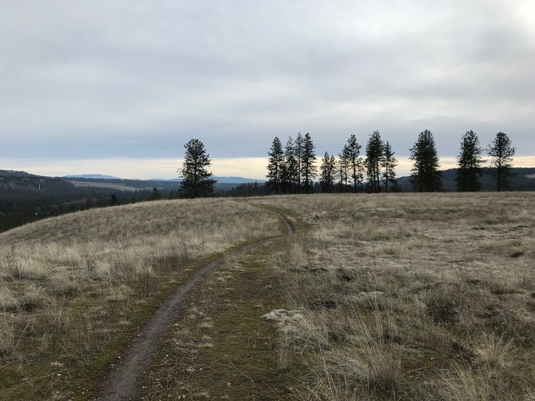
Get a little exercise and a lot of view at Riverside State Park. Photo by California Girl.
Experience the north end of Riverside State Park with this gentle hike. Gorgeous views of the Spokane river will keep you company on this as you follow the lollipop loop.
> Plan your trip to Riverside State Park - Trail 25 Trail 410 Loop using WTA's Hiking Guide
Lost Trails Found
Some of Washington’s great hiking adventures are tucked away in wild and remote landscapes. WTA’s Lost Trails Found campaign is putting backcountry trails back on the map by providing professional trail maintenance, advocating for federal trail funding and collaborating with public land agencies to pool resources and knowledge into building a sustainable backcountry trail system.
Fish Creek
Location: Central Cascades -- Entiat Mountains/Lake Chelan
Mileage: 8.9 miles, one-way
Elevation Gain: 5,650 feet

Blooming balsamroot in the springtime on Fish Creek. Photo by Pam MacRae.
Fish Creek connects the Chelan Lakeshore Trail with the Chelan Summit Trail to the east. Forest fires frequently ravage the area, so WTA’s backcountry crews are hard at work making sure the trail is in good shape.
> Plan your trip to Fish Creek using WTA's Hiking Guide
Wynoochee Lake
Location: Olympic Peninsula -- Olympia
Mileage: 12.0 miles, roundtrip
Elevation Gain: 1,100 feet
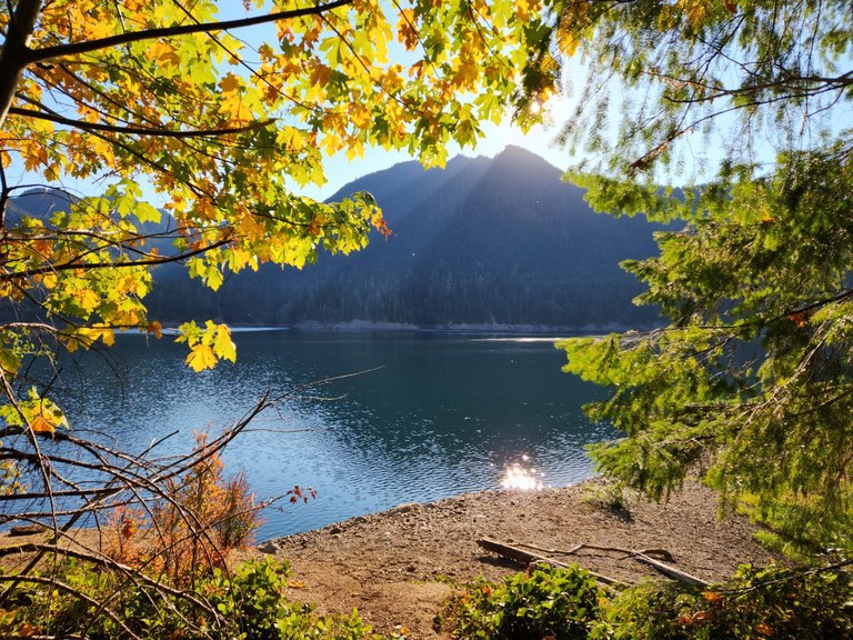
Fall color at Wynoochee Lake. Photo by trip reporter Jaime O.
Follow the trail around Wynoochee Lake through a second growth forest. WTA’s backcountry crews and the Olympia Mountaineers recently maintained the trail, clearing storm debris and repairing tread.
> Plan your trip to Wynoochee Lake using WTA's Hiking Guide
Trails Rebooted
As more people get excited about hiking Washington’s trails, we need to support popular recreation areas so that everyone can continue to hike safely. WTA’s Trails Rebooted campaign is improving existing trails, championing the development of new ones and helping hikers see the crucial role they play in the future of trails.
Little Mountain Park - Bonnie and Clyde Loop
Location: Puget Sound and Islands --Bellingham area
Mileage: 1.6 miles, roundtrip
Elevation Gain: 300 feet
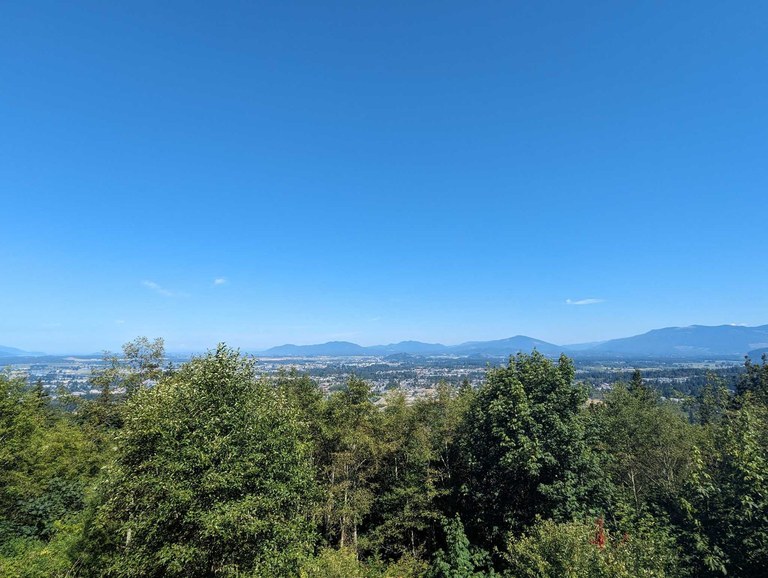
Bonnie and Clyde offers a great vantage point of downtown Mount Vernon. Photo WonderSmash.
With 10 miles of trails in Little Mountain Park, there is a lot to explore in this forest park just outside of Mount Vernon. The Bonnie and Clyde Loop wraps around an abandoned car and leads you to a summit overlooking the Skagit Valley. Little Mountain Park helps expand the plethora of recreational opportunities that the surrounding Bellingham area offers.
> Plan your trip to Little Mountain Park using WTA's Hiking Guide
Yacolt Burn State Forest - Appaloosa Trail
Location: Southwest Washington -- Lewis River Region
Mileage: 6.0 miles, roundtrip
Elevation Gain: 850 feet
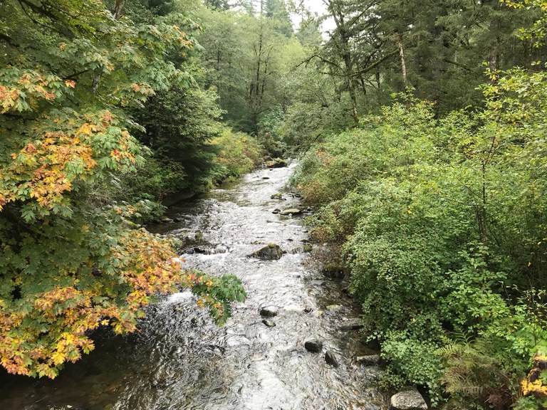
Beautiful views from the Appaloosa Trail. Photo by Rod Hooker.
Appaloosa Trail connects the Tarbell Trail Loop to the historic 90,000 acre Yacolt Burn State Forest. The trails in this area offer a great alternative to the popular hikes along the Columbia Gorge.
> Plan your trip to Yacolt Burn State Forest using WTA's Hiking Guide
Trails for Everyone
Everyone deserves to have safe, welcoming and rewarding experiences outside. WTA has been supporting the hiking community since the beginning, but we’ve been more intentionally focused on lowering barriers to accessing the outdoors and making the community more inclusive.
The hikes listed below highlight what an inclusive hiking experience can look like — accessible via public transportation; paved ground to increase mobility on the trail; and additional features like restrooms, picnic tables and playgrounds so that everyone can enjoy being outside.
Parkland Prairie
Location: Puget Sound and Islands -- Seattle/Tacoma area
Mileage: 0.5 miles of trails
Elevation Gain: 0 feet
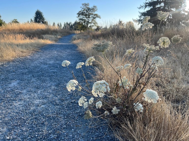
Explore a landscape rare to Washington --- the prairie. Photo by trip reporter and Hike-a-Thoner laraoutside.
Prairies are one of the rarest ecosystems in Washington — especially in an urban setting — so be sure to check out this trail and the 15 unique native species of grass and flowers. The ADA accessible gravel trail loops around the perimeter of the park and the Pierce Transit Route 1 bus stops 0.5 miles from the trailhead.
> Plan your trip to Parkland Prairie using WTA's Hiking Guide
Johns River State Wildlife Area
Location: Southwest Washington -- Long Beach area
Mileage: 1.4 miles, roundtrip
Elevation Gain: 0 feet
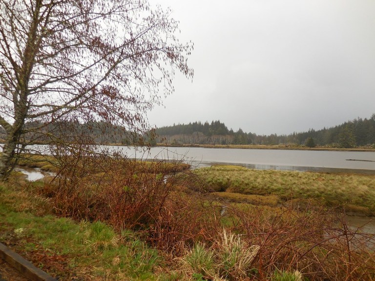
A classic Washington coast shoreline scene. Photo by Anna Roth.
Johns River State Wildlife Area is a short, wheelchair-friendly trail. The namesake Johns River that runs through the area is affected by tidal action, so visit during high and low tide for unique experiences. This area is primarily for disabled hunters, but they also welcome wildlife viewers.
> Plan your trip to Johns River State Wildlife Area using WTA's Hiking Guide
Naches Trail Preserve
Location: Puget Sound and Islands -- Seattle/Tacoma area
Mileage: 0.4 miles, roundtrip
Elevation Gain: 0 feet
You might find wildflowers here in the summer! Photo by Leslie Romer.
Naches Trail Preserve is 40-acres of lowland habitats with a diverse bird population and native plants. Enjoy the quiet, natural landscape on the short loop and relax in the Stan and Joan Cross Park just across the entrance of the preserve.
> Plan your trip to Naches Trail Preserve using WTA's Hiking Guide
We’re so appreciative of everyone who is spending a part of their summer supporting Washington’s trails by participating in Hike-a-Thon. If you want to search for other hikes to explore, check out our Hiking Guide or use our hike recommender, which can give you personalized hike suggestions. And if you end up on any of these hikes or find a great one of your own, make sure to leave a trip report to let others know about recent conditions.

