4 Winter Hikes to Explore in the Carbon River Corridor
The Carbon River, fed by Mount Rainier's snowpack, creates a lush forested canyon above the northwest corner of Mount Rainier National Park. The area offers year-round outdoor opportunities for families, hikers, campers, bikers and more. Visit this beautiful area to enjoy time outside and learn the rich history of its local communities.
Check out some of these great hikes in the area when many other trails might be too snow-covered for you to hike. Before you visit the Carbon River Corridor, be sure to check out the region’s recreation website for tips including business hours, pass requirements and how to recreate responsibly. Also, be sure to check WTA’s trip reports to know what to expect on trail, our winter safety tips for how to stay safe and Mount Rainier National Park's road status map for current road access.
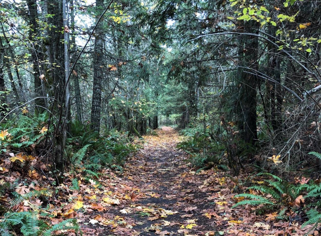
Foothills Trail - Wilkeson to Carbonado
Length: 8.0 miles, roundtrip
Elevation gain: 400 feet

Photo by trip reporter chrisburke.
The Foothills Trail begins in Puyallup, crossing through Buckley, and you can hop on the trail anywhere to follow it down through the Carbon River area. The branch of the trail that runs between Wilkeson and Carbonado is an old railroad grade with a wide path that loops through second-growth woodland between the two towns. The trail continues past Carbonado, so as long as you park in or before Carbonado, you can hike or bike all the way to the Mount Rainier Ranger Station!
> Plan your trip to Foothills Trail using WTA's Hiking Guide
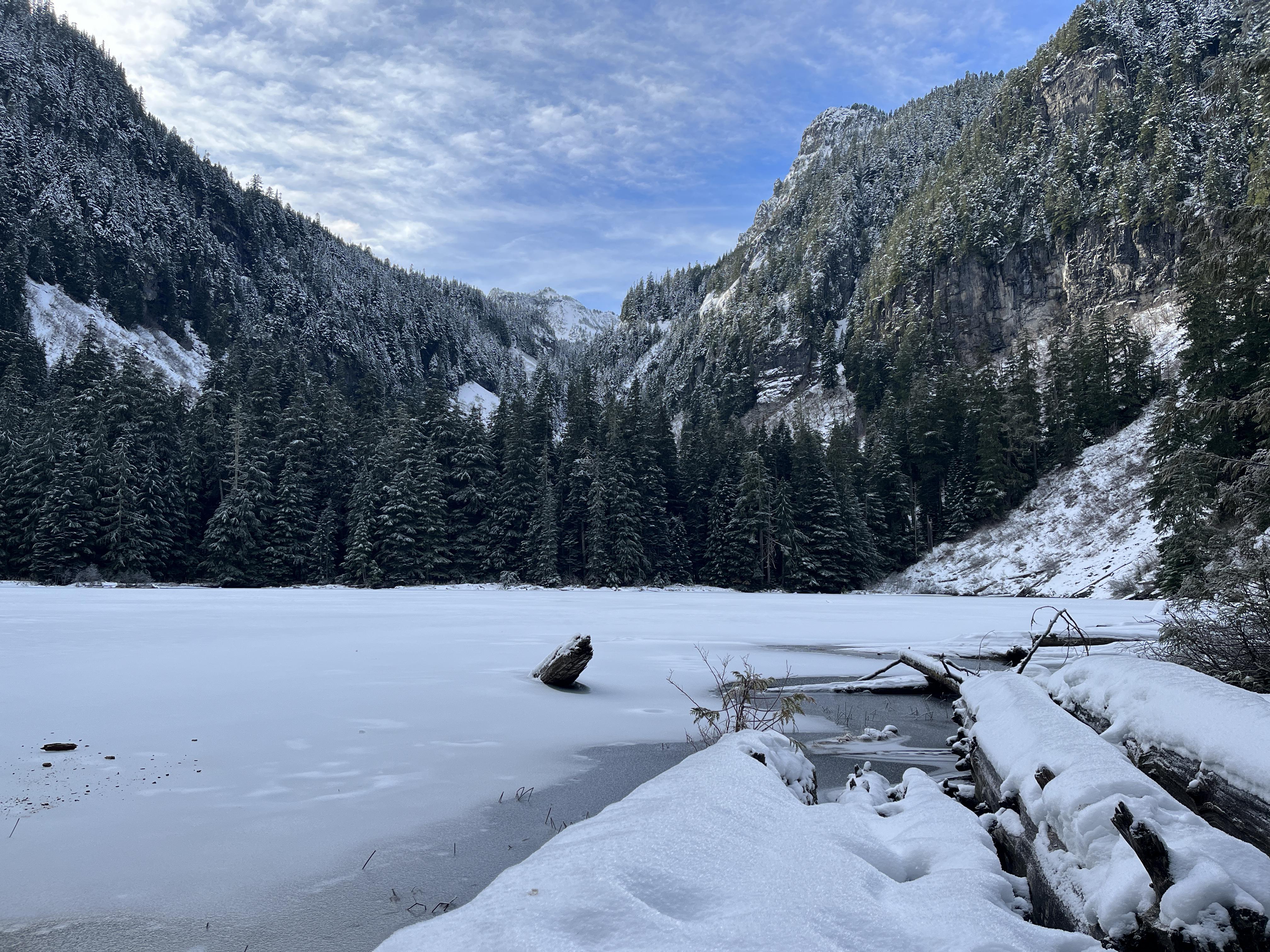
Green Lake
Length: 9.6 miles, roundtrip
Elevation gain: 1,500 feet

Photo by trip reporter mcguire_ep.
The Green Lake Trail is a moderately strenuous but relatively short hike to a pocket lake set among a rare high-elevation rainforest. The trail's wide, ambitious grade rewards accordingly for your efforts, ascending through stands of humbling firs, passing a picturesque waterfall, and ending on the shore of a lovely mountain lake.
> Plan your trip to Green Lake using WTA's Hiking Guide
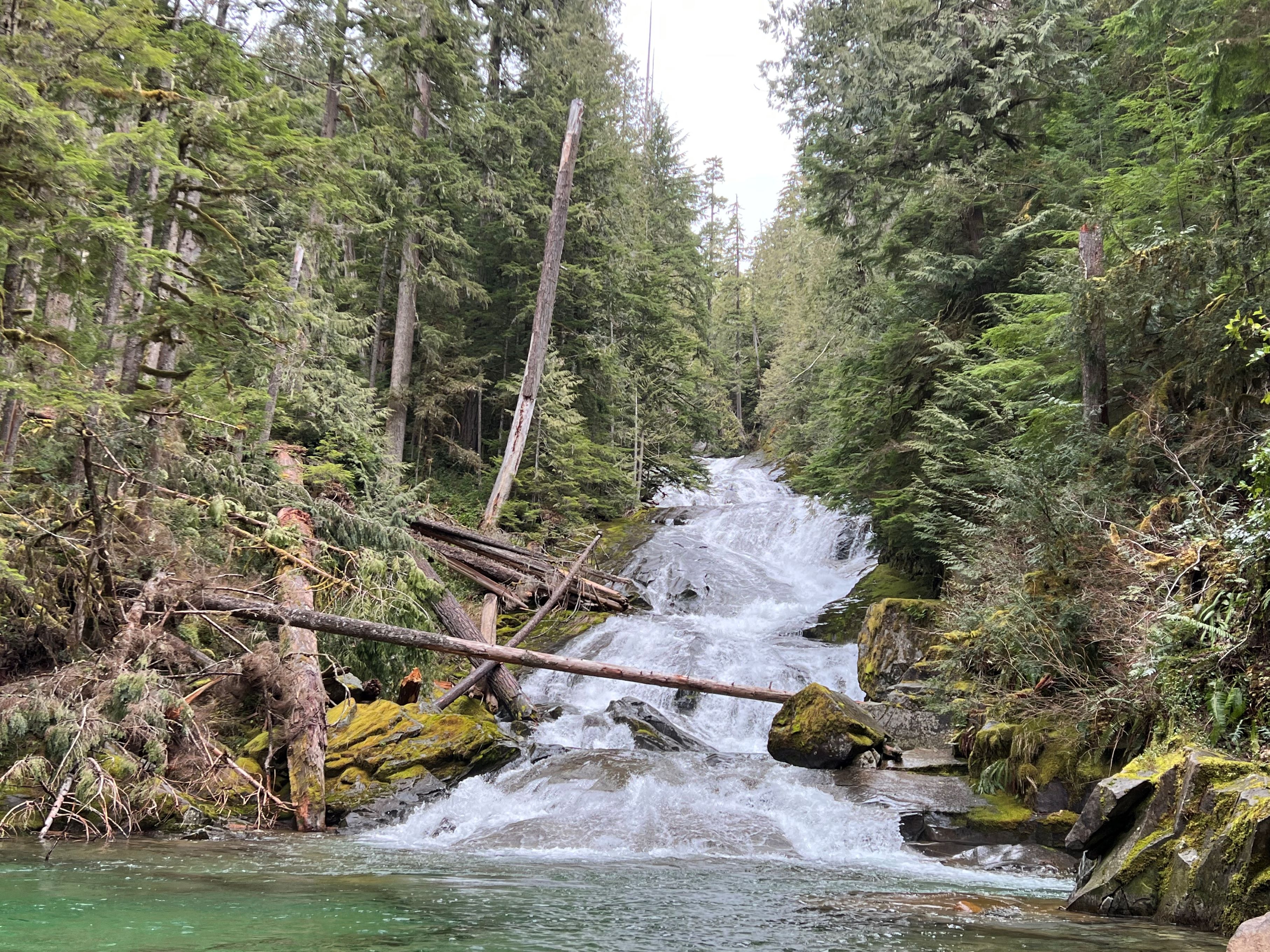
Chenuis Falls
Length: 8.0 miles, roundtrip
Elevation gain: 500 feet

Photo by trip reporter Mike Groenewegen.
A long walk (or short mountain bike ride!) leads to a rolling falls that feeds into the rushing Carbon River. Check trip reports for any crossings made less accessible during the winter; still, enjoy the majority of this hike to get a peek at the falls.
> Plan your trip to Chenuis Falls using WTA's Hiking Guide
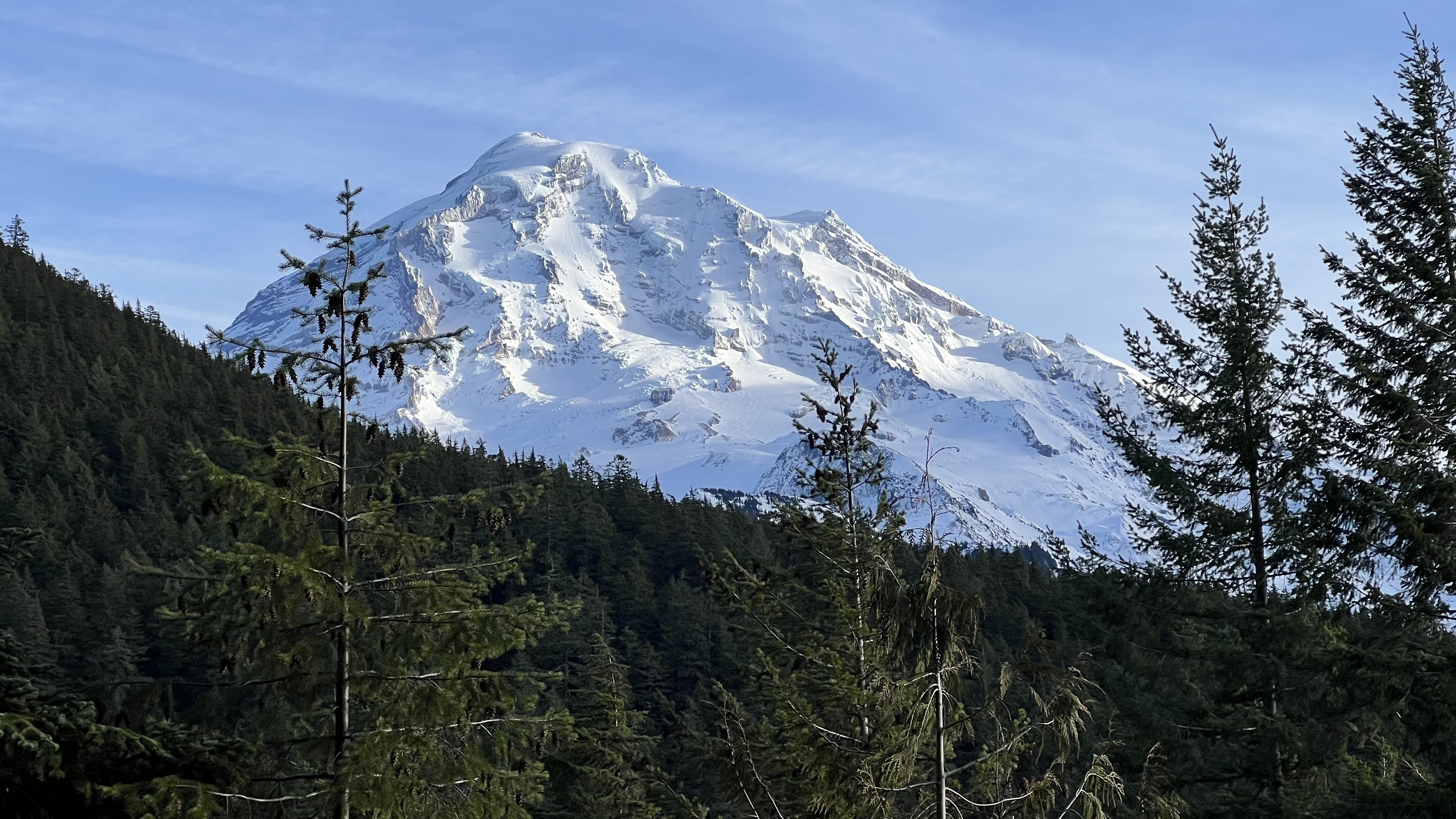
West Boundary Trail
Length: 6.0 miles, round trip
Elevation gain: 2,800 feet

Photo by trip reporter kidz won't hike.
The West Boundary Trail is one of the remaining fragments of the historic Boundary Trail that allowed rangers to patrol the perimeter of Mount Rainier National Park. Pass through old-growth rainforest to a waterfall at 1.3 miles. This is a great turnaround spot if weather conditions or your hiking appetite don’t favor continuing up the brutally steep grade to Alki Crest.
> Plan your trip to West Boundary Trail using WTA's Hiking Guide


