Spread Out: 9 Hikes to Find Your Space in the Lowlands
Sometimes, we just need some space. Maybe it’s been a long stressful week or you’re feeling the need to expand your personal bubble this weekend. You might be thinking you have to drive dozens of miles into the mountains to find that space, but you may be able to find it you’re craving closer to home.
Some wide trails can give you the opportunity to spread out, other unique trail structures — like beaches — can offer plenty of space for folks to take up their own space and trail networks can provide hikers many options to build their own hike to break away from larger hiking groups. You might still see other folks when you are on these hikes, but you'll still be able to find those quiet trail moments you may be craving.
Check out some of these hikes that offer you the chance to spread out so you can get that solo nature time you’re seeking.
Griffiths-Priday State Park - Copalis River Spit
Location: Southwest Washington > Long Beach area
Length: 4 miles, roundtrip
Elevation gain: 40 feet

Many beaches are great options for some solo time. Photo by sarahnotsobright.
Beach hikes are wide and open, perfect for spreading out. Bring your binoculars to watch the waterfowl in the water. This sandy beach right on the Pacific Coast is also perfect for catching the sunset if you're hoping for an evening stroll.
> Plan your hike on the Griffiths-Priday State Park - Copalis River Spit using WTA's Hiking Guide
Klickitat Rail Trail - Klickitat River
Location: Southwest Washington > Columbia River Gorge - WA
Length: 10.5 miles, roundtrip
Elevation gain: 200 feet
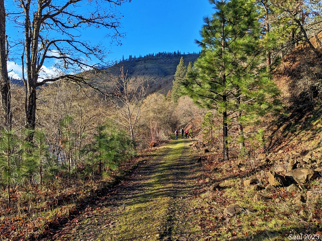
This lush wide trail is great year-round. Photo by Sunrise Creek.
This is but one section of the long Klickitat Rail Trail, but with its roomy trail — used by hikers, bikers and equestrians alike — you're sure to be able to find your own little spot on this trail as you hike along the Klickitat River. You may even catch a glimpse of a kayaker or two on the water nearby.
> Plan your hike on the Klickitat Rail Trail - Klickitat River using WTA's Hiking Guide
Dungeness National Wildlife Refuge - Dungeness Spit
Location: Olympic Peninsula > Northern Coast
Length: 11 miles, roundtrip
Elevation gain: 130 feet
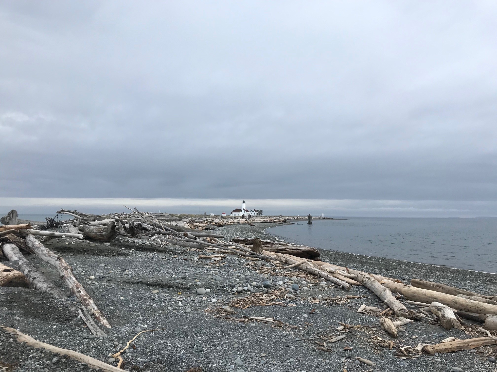
This long spit has plenty of space for you to spread out from other hikers. Photo by SeattleCB.
Plan a whole day to walk the length of this spit, where a lighthouse awaits you at the end. With plenty of space to spread out on your way over — with its wide rocky beach, especially at low tide — you can enjoy views of the water and shorebirds while hopping over driftwood.
> Plan your hike on the Dungeness National Wildlife Refuge - Dungeness Spit using WTA's Hiking Guide
Snoqualmie Valley Trail
Location: Puget Sound and Islands > Seattle-Tacoma area
Length: 32 miles, one-way
Elevation gain: minimal
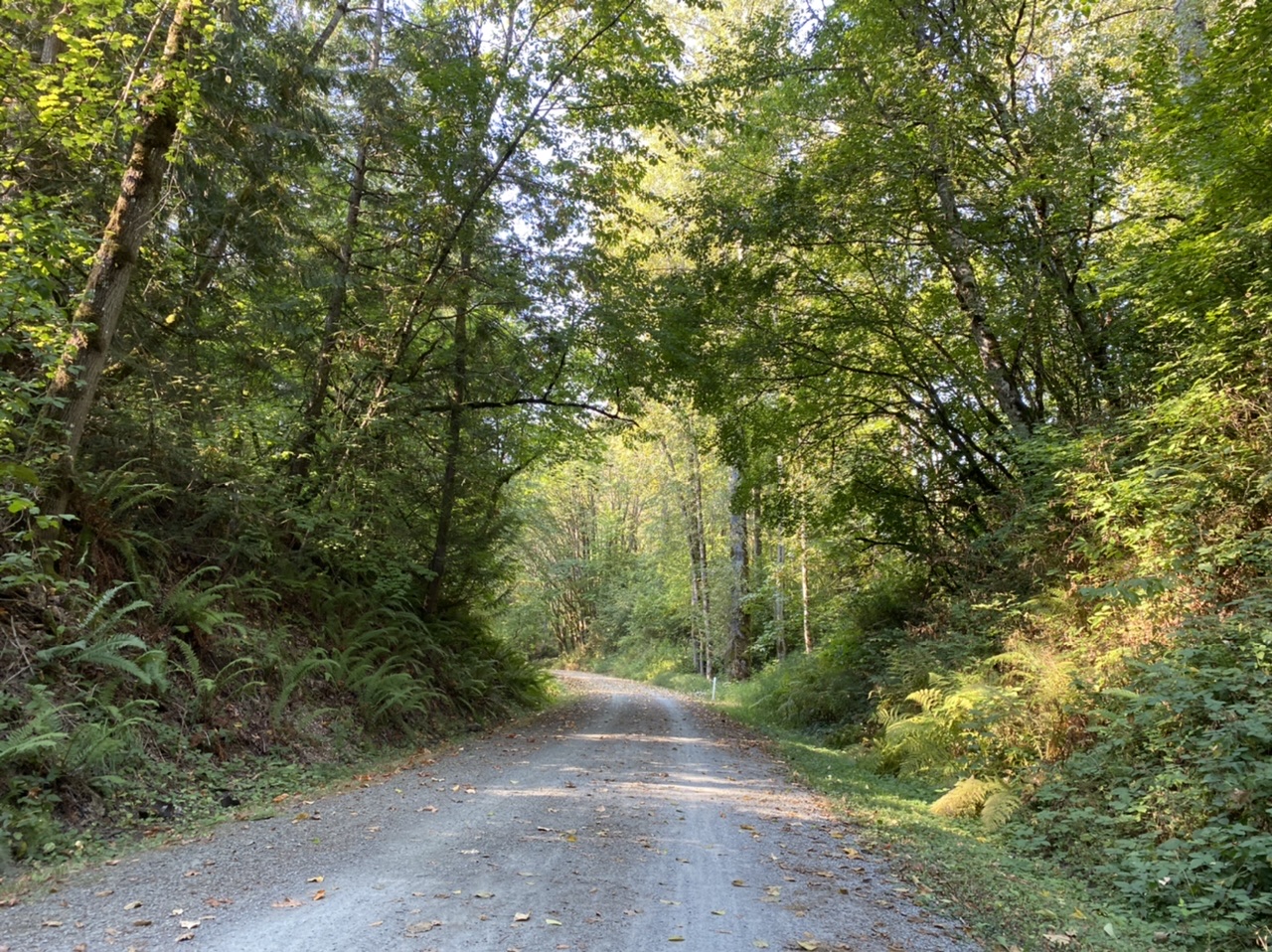
Wide trails like this offer plenty of space to roam, even if other folks are also enjoying it that day. Photo by Toni Lyn.
Railroad grades can make for wonderful quiet trails for those seeking them because even when there are other hikers or bikers around, there's plenty of space to spread out and do your own thing. This 32-mile-long trail gives hikers the opportunity to walk past well-known landmarks like Snoqualmie Falls and Rattlesnake Lake.
> Plan your hike on the Snoqualmie Valley Trail using WTA's Hiking Guide
Antoine Peak Conservation Area
Location: Eastern Washington > Spokane area/Coeur d’Alene
Length: 15 miles of trails
Elevation gain: varies
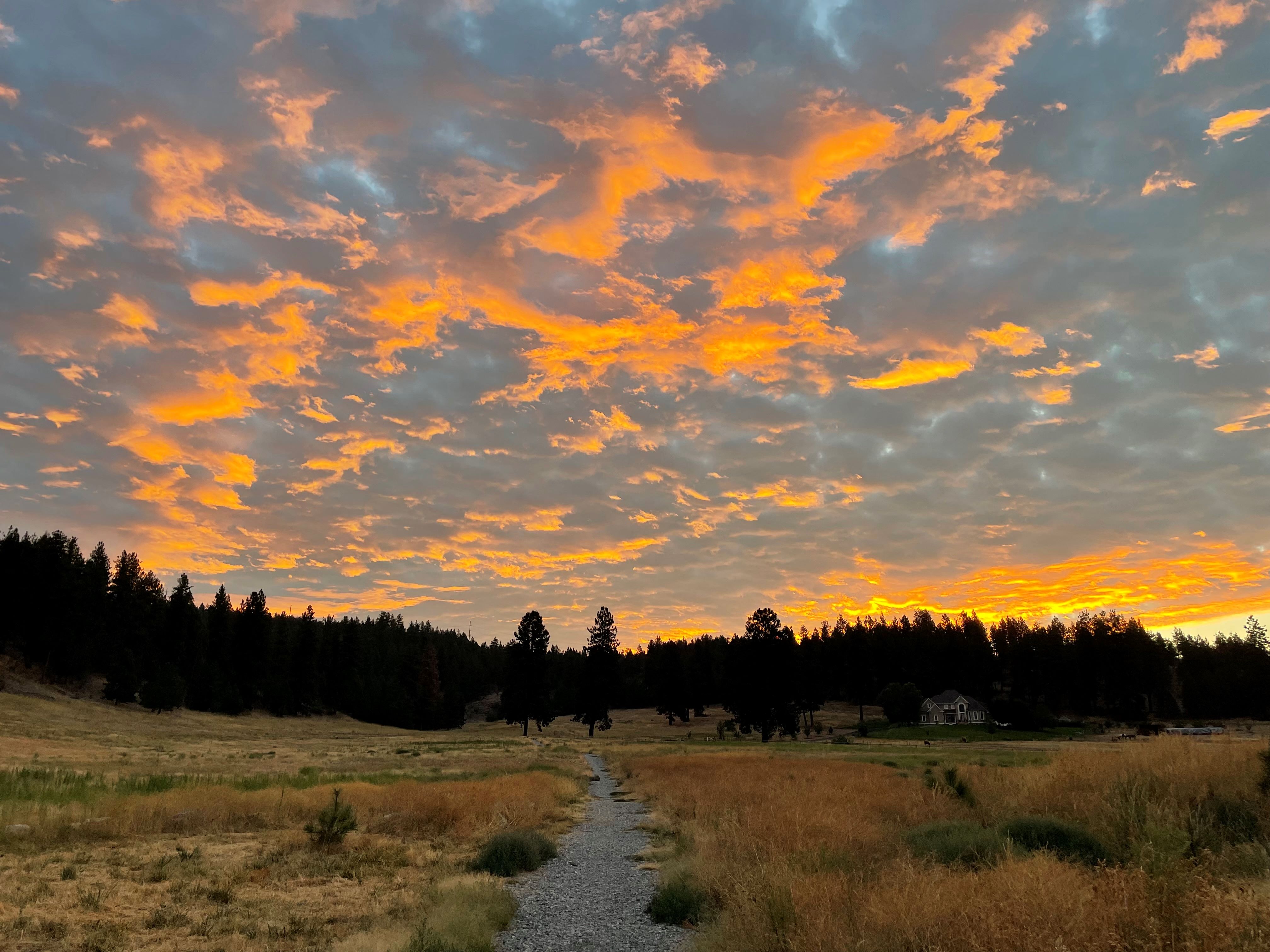
Having multiple trails and access point options means it's really easy to craft your own hike here. Photo by TrailKat.
You'll have plenty of trails to explore Eastern Washington in this conservation area's trail network. With three different access points and multiple loop options, you'll have all sorts of options when trying to put together your own hike to get some alone time on trail.
> Plan your visit to the Antoine Peak Conservation Area using WTA's Hiking Guide
Northern State Ghost Town
Location: North Cascades > North Cascades Highway - Highway 20
Length: 5 miles, roundtrip
Elevation gain: 50 feet
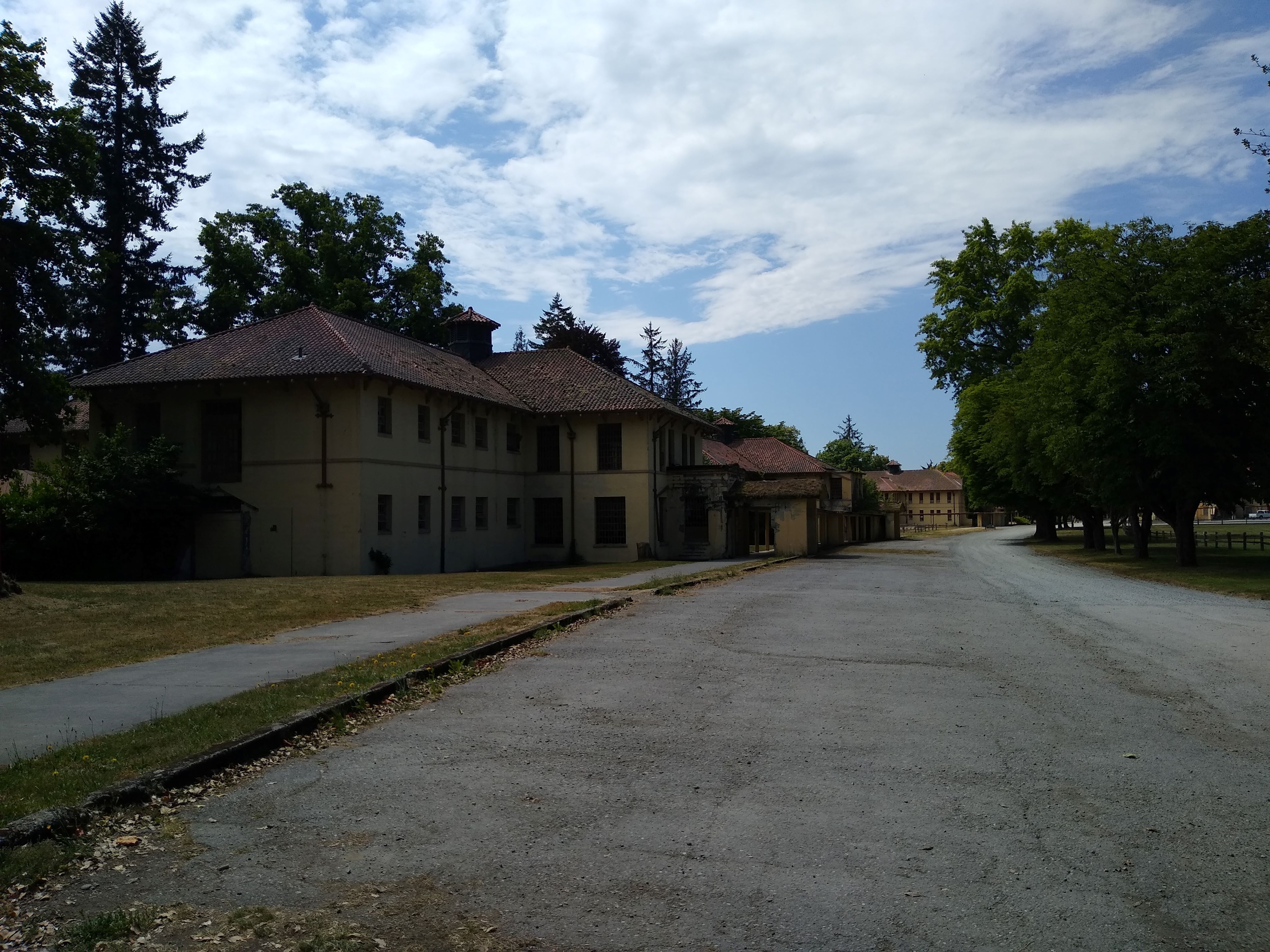
Investigating an old ghost town is a fun — if not a little creepy — solo adventure. Photo by dgran.
It might be a little spooky for a solo hike, but you're sure to find enough space to spread out in this ghost town. The property has an extensive trail system, offering hikers the opportunity to wander through open pastures, through the forest, past many old abandoned structures and even to an old cemetery.
> Plan your visit to Northern State Ghost Town using WTA's Hiking Guide
Palouse to Cascades Trail - Homestead Valley to Mine Creek Trestle
Location: Snoqualmie region > North Bend area
Length: 5.5 miles, roundtrip
Elevation gain: 350 feet
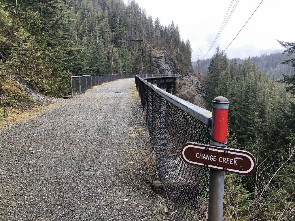
You'll get some cool views on this section of the Palouse to Cascades Trail. Photo by Don Gerald.
The wide Palouse to Cascades Trail offers hikers a great chance to spread out from one another. In this section, you'll have wide views of I-90 and walk across trestles hundreds of feet up from creeks. And there are multiple vantage points — some even have picnic tables! — where you can set up for a nice quiet lunch or snack break.
Palouse to Cascades Trail - Beverly Bridge
Location: Central Washington > Yakima
Length: 4.5 miles, roundtrip
Elevation gain: 150 feet
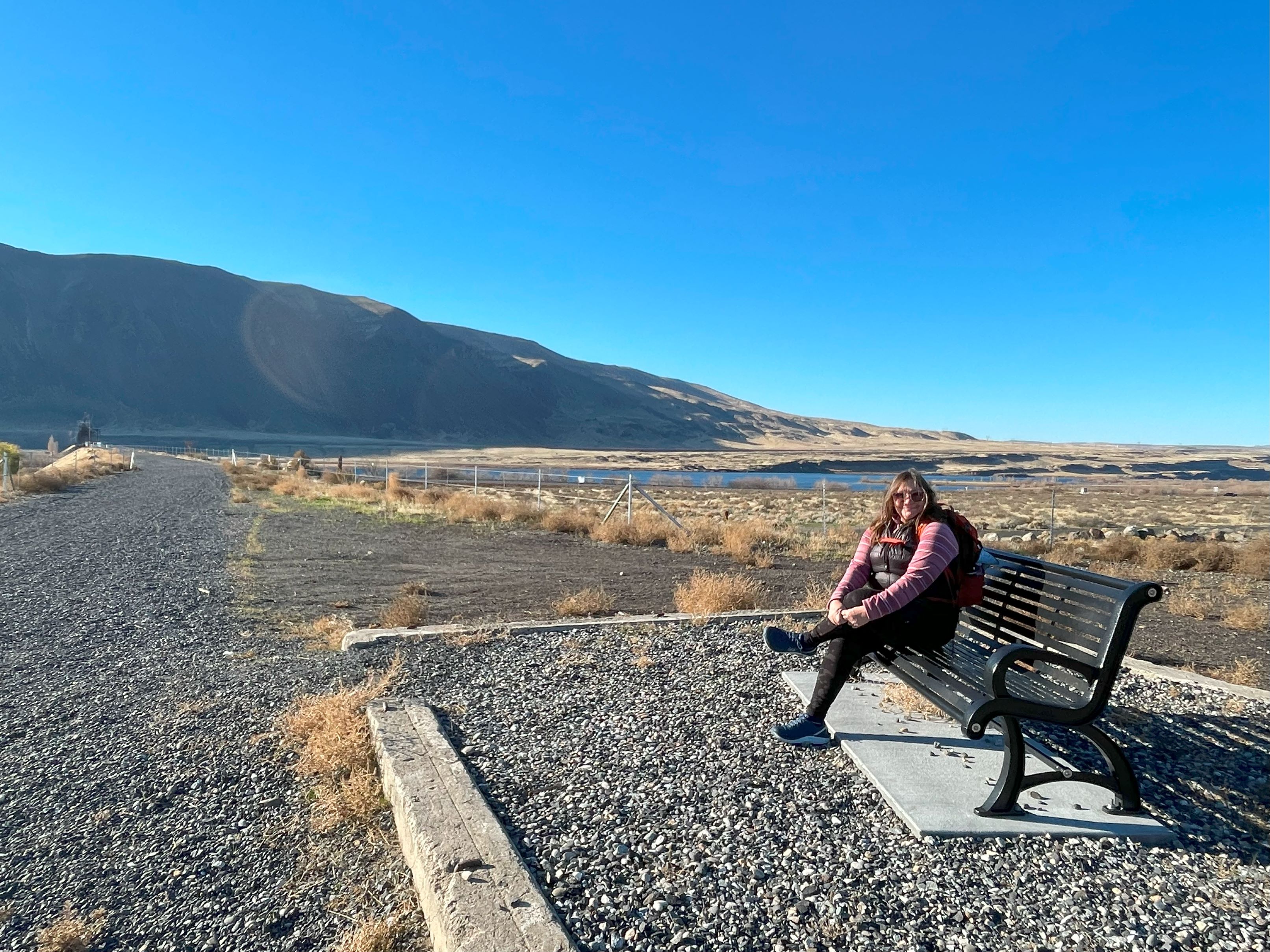
The western terminus of the bridge is a great solo picnic spot. Photo by Holly Weiler.
Yet another great section of the Palouse to Cascades Trail for spreading out. Here, you can take the Beverly Bridge across the Columbia River, where you'll be able to give yourself a wide berth on the broad bridge. The western end of the trail has plenty of open space for you to find a spot for yourself to take in the views of Central Washington while having lunch, but remember that you might see some snow on the ground in winter.
> Plan your hike on the Palouse to Cascades Trail - Beverly Bridge using WTA's Hiking Guide
Chamna Natural Preserve
Location: Central Washington > Tri-Cities
Length: 3.8 miles, roundtrip
Elevation gain: 30 feet
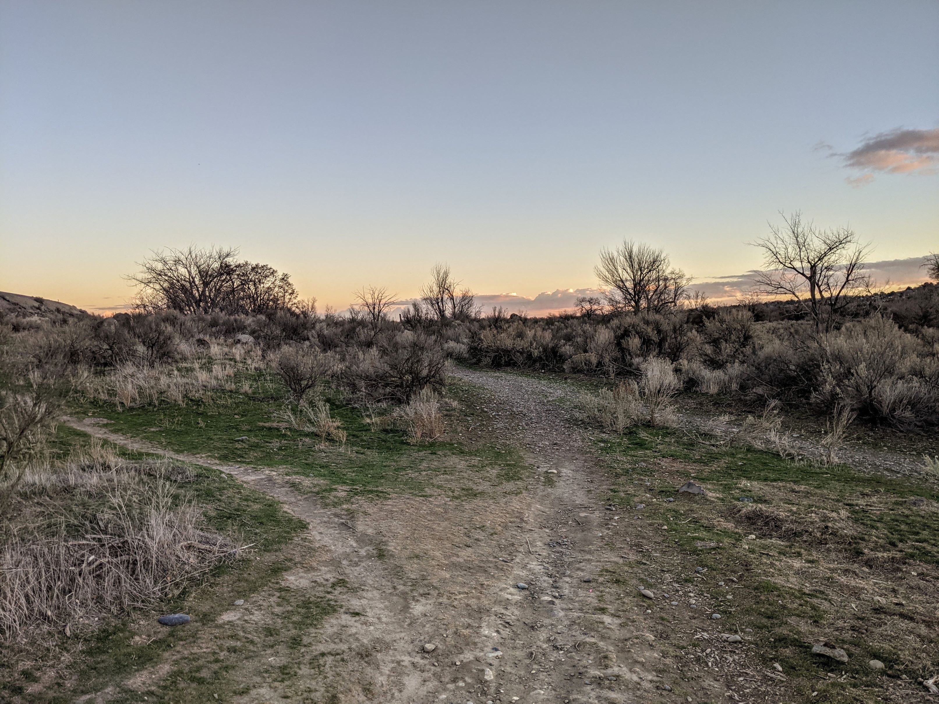
Explore the many trails in this park to build your own hike. Photo by vikr.
This 276-acre park might seem small, but its trail network sure isn't. With its many trails, exploring the grounds gives you the chance to find your quiet own spot in the trail network. Pack a plant guidebook to help you identify the diverse vegetation in the preserve.
> Plan your visit to Chamna Natural Preserve using WTA's Hiking Guide

