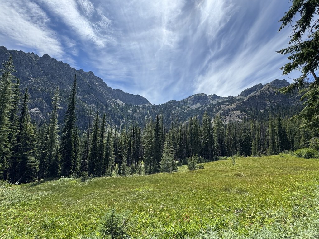
Esmeralda Basin, found at the end of the North Fork Teanaway Road, affords hikers the opportunity to walk through old forest, meadows brimming with wildflowers, and along rocky hillsides, all while enjoying the striking scenery of the jagged and craggy Esmeralda Peaks. The trail boasts over 75 varieties of wildflowers, evidence of an old mining operation, and vantage points into the Cascades from two different passes - one is unnamed, the other is Fortune Creek Pass.
The trail begins at the end of the North Fork Teanaway Road. Follow the trail as it meanders along an old mining road to a junction with the Ingalls Way and Longs Pass Trail (1390) in less than half a mile. Continue straight and wander through trees, then meadows, cross streams, and gain elevation, making long switchbacks as you go. In the summer, flowers are prolific in the meadows and along streams which cascade gently down the often rocky and otherwise dry terrain. The wide, old roadway eventually narrows as the trail climbs higher along the hillside. Eventually, the trail skirts the slopes of Ingalls Peak as it heads northwest.
Approximately 3 miles from the trailhead, an intersection with Trail 1226 heads north to a pass overlooking Lake Ann. Taking this trail to the overlook is worthwhile, and adds just about 2 miles to your trip and nearly 500 feet in elevation. Otherwise, continue hiking straight, staying on Trail 1394. It travels the side hill until finally reaching the barren ridge which is Fortune Creek Pass.
The views here open west to Hawkins Mountain, Mount Daniel and Hinman to the northwest, and if one scrambles the rocky hill to the south of the pass, Mount Rainier can be seen in the distance beyond Gallagher Head Lake. Of course, Ingalls Peak is showcased immediately to the north, a different view than many hikers get from its more visited other side.
Esmeralda Basin (Esmerelda)
-
Length
- 7.0 miles, roundtrip
-
Elevation Gain
- 1,750 feet
-
Highest Point
- 5,960 feet
Hiking Esmeralda Basin (Esmerelda)
Esmeralda Basin (Esmerelda)
Map & Directions
 Trailhead


