Planning for the Future of Trails
Gearing up to meet the demands of a booming recreation economy, a number of our parks and recreation areas are developing trail and recreation plans. Here's how to learn more and get involved in shaping the creation and management of tomorrow's trails.
Washingtonians love outdoor recreation, and for many of us it’s an essential part of our lifestyle. Each year, 54 percent of Washington residents hike, and 72 percent participate in outdoor recreation on trails. This enthusiasm for the outdoors has created a strong recreation economy that supports nearly 200,000 local jobs, generates $21.6 billion in annual consumer spending and supplies $2 billion in state and local tax revenue.
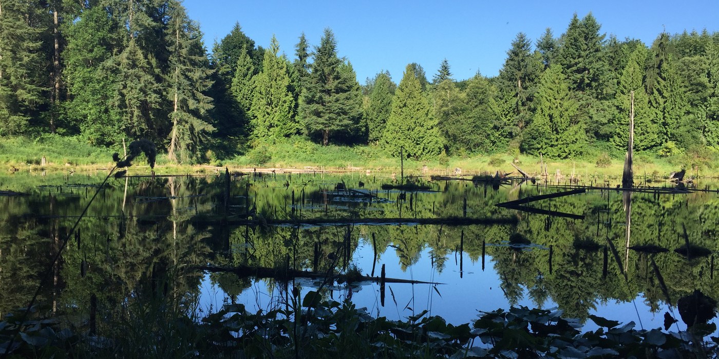
 Greider Lakes in the Morning Star Conservation Area. Photo by early_girl
This significant impact on our economies is likely to increase, as our state population is expected to grow by 1.8 million people by 2040. That growth will fuel even more demand for outdoor recreation opportunities.
As part of an effort to meet that demand, a number of our parks and recreation areas are developing trail and recreation plans. These plans are often the foundation for providing more chances for outdoor recreation.
Planning committees lead the efforts—including seeking public comment—to develop trail and recreation plans on public lands. The members of the committee evaluate the natural resources in the area, assess the condition of trails and other recreation opportunities and consider the potential for new recreation. Ultimately, they create a plan that determines what trails will remain, if new trails will be created, how those trails will be designed, what uses will be allowed (motorized, non-motorized, hiking, stock, bicycle) and a big picture plan for how the area will be managed.
Washington Trails Association is glad to know our state and local governments recognize the importance of public lands, the increased demand on our trails and the need for forward-thinking recreation planning. Such investments sustain Washington’s outdoor recreation culture and enable the recreation industry to become an even larger economic driver.
Have your say
Currently there are a number of recreation and trail planning processes happening across the state. The public is invited to provide recommendations in all of these planning projects. Hikers have important insights and perspectives about our public lands and trails. WTA encourages hikers to participate in these processes, share your personal experiences and help shape the creation and management of trails available in the places we love.
Below are six planning processes that hikers should know about, with links to get involved.
Teanaway Community Forest
Teanaway, Washington Department of Natural Resources
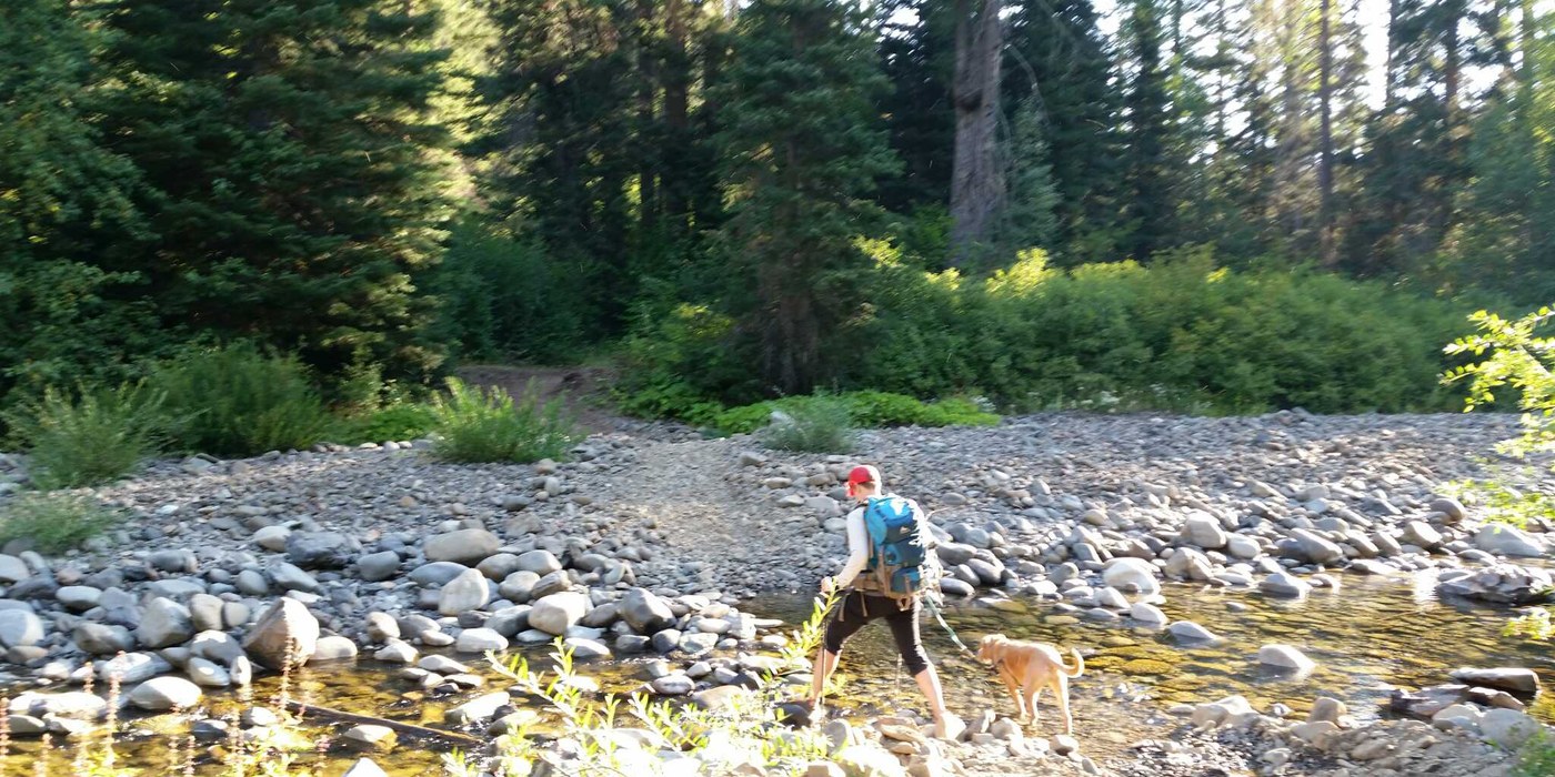
 Middle Fork Teanaway River Trail.
The 50,000-acre forest was purchased by the state in 2013 as the state’s first community forest. Previously owned by a timber company, the Teanaway Community Forest is already a popular place for recreation with three campgrounds, river access spots and a medley of user-built trails. The recreation planning process will better define recreation on the forest.
Lord Hill Regional Park
Snohomish, Snohomish County Parks
 Photo by Jennekehikes
The expansive Lord Hill Park covers 1,463 acres with features including evergreen forest, wetlands, meadows and the Snohomish River. The Snohomish County Parks department is in the early stages of developing a trail plan, which will include way-finding signs, creation of detailed maps and the development of additional parking. Environmental assessments are planned to evaluate any impacts to critical ecosystem areas. The members of the committee are considering developing mountain bike and equestrian trails that would also accommodate hikers. A number of existing trails would remain open for hiking and other uses.
Manastash Ridge Trails Project
Ellensburg; Washington Department of Fish and Wildlife and Department of Natural Resources
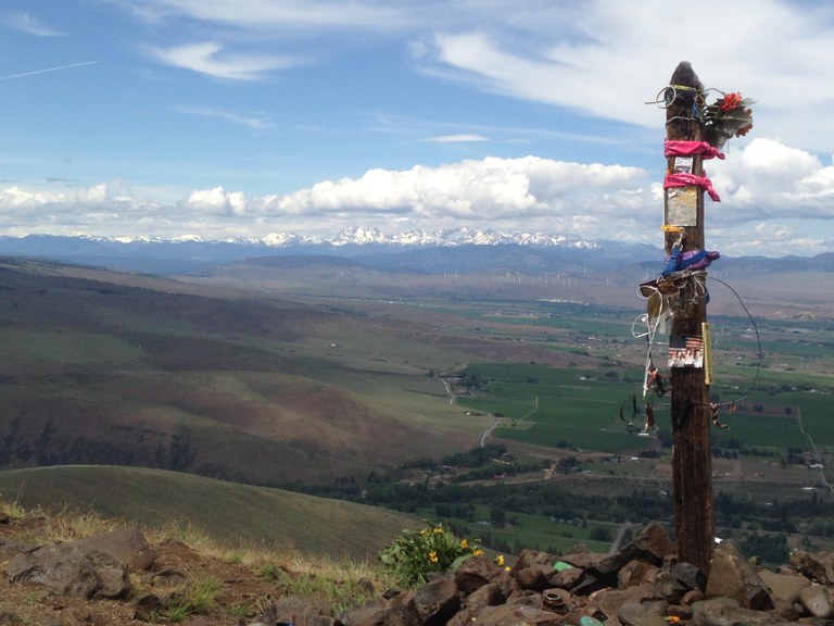
 A classic view of the Stuart Range and vistas from Manastash Ridge. Photo by Adaset
The trail system at Manastash Ridge has become an increasingly popular destination, taking a toll on the trails. That has made it even more important to assess and plan for trail maintenance and development of new trails. The landscape is largely shrub-steppe vegetation, with some forest and basaltic cliffs along a stream. The plan will focus on providing quality hiking experiences on existing trails, planning for new trails and ensuring the protection of local habitat and wildlife.
Morning Star Conservation Area
North Cascades; Washington Department of Natural Resources
 Gothic Basin. Photo by elevatedtv
The trails plan for the Morning Star Conservation Area will determine how existing low-impact recreation opportunities are managed and what new opportunities will be created for the next 10 to 15 years. The area spans 36,037 acres of mountainous terrain with diverse ecological features, including subalpine meadows, wetlands and lakes. It is home to six rare plant species and threatened and endangered wildlife. Visitors can enjoy trails to places including Gothic Basin and Greider Lakes and Ashland Lakes. DNR staff are conducting assessments of existing trails, renovation needs, opportunities for expansion and new hiking and backcountry camping opportunities. A key focus of the plan will look at rehabilitating popular trails and restoring sensitive areas.
Palouse Falls State Park Plan
Palouse and Blue mountains; Washington State Parks
 View of Palouse Falls from one of many great vantage points. Photo copyright mikereidphotography.com.jpg
As Washington’s official state waterfall, the iconic Palouse Falls draws many hikers from across the state. Visitors to the 105-acre park can also view the dramatic and unique geology created by glacial floods at the end of the last ice age. In order to ensure sustainable land use and good experiences for visitors, State Parks is working on a plan for future use and development of the land, including recreational opportunities.
Riverside State Park Plan
Spokane area; Washington State Parks and Recreation Commission
 Deep Creek Canyon at Riverside State Park by Daniel Y
A public planning process for Riverside State Park is just kicking off. The expansive 14,000-acre Riverside State Park is located along the Spokane and Little Spokane rivers. The park provides a variety of recreation opportunities, including 55 miles of hiking trails, camping, picnicking and fishing. The process will update the existing Riverside Land Use Plan and will establish future use and development of the land, including for recreation.


Comments