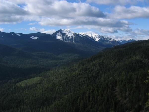

A steep and dusty trail to a long, beautiful ridge where the rambling is fine, often among a band of elk.
This long trail in the William O. Douglas Wilderness offers solitude. Climbs southwest along many ridges, where the final section joins up with the Pacific Crest National Scenic Trail.
Shorter trips are possible too, including American Lake, which offers both a day hike with a camping option.
American Ridge

-
 Length
- 12.0 miles, one-way
-
 Elevation Gain
- 2,950 feet
-
 Highest Point
- 6,310 feet
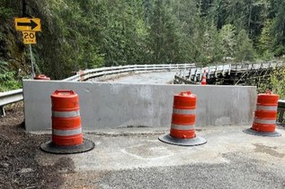
9.3.25: The trailhead and trail within the William O. Douglas Wilderness are closed until further notice due to the Wildcat Fire.
A steep and dusty trail to a long, beautiful ridge where the rambling is fine, often among a band of elk.
Continue reading
Hiking American Ridge

WTA worked here in 2025, 2023, 2004 and 1998!
American Ridge
Map & Directions
 Trailhead
Before You Go
9.3.25: The trailhead and trail within the William O. Douglas Wilderness are closed until further notice due to the Wildcat Fire.
Parking Pass/Entry Fee
Northwest Forest PassWTA Pro Tip: Save a copy of our directions before you leave! App-based driving directions aren't always accurate and data connections may be unreliable as you drive to the trailhead.