Trails for everyone, forever

Home Go Hiking Hiking Guide Eastside Trail

Alert: On Oct. 1 the federal government began a partial shutdown that will impact National Parks, National Wildlife Refuges and U.S. Forest Service lands in Washington. Here's the latest information we have for hikers and campers


Eastside Trail

Mount Rainier Area > SE - Cayuse Pass/Stevens Canyon
46.7512, -121.5747 Map & Directions
Length
26.2 miles, one-way
Elevation Gain
3,532 feet
Calculated Difficulty About Calculated Difficulty
Hard

Stevens Canyon Road is closed for the winter season.

  • Dogs not allowed
  • Established campsites
  • Lakes
  • Wildflowers/Meadows
  • Wildlife
Saved to My Backpack

This long route connects the subalpine environs of Chinook Pass and Tipsoo Lake with the deep, lowland forests of the Ohanapecosh area. It is part of the East Side Loop trail, a long loop that hikers can enjoy in lieu of the Wonderland Trail. Continue reading

Rating
3.25 out of 5

(4 votes) Log in to rate

Hiking Eastside Trail

This long route connects the subalpine environs of Chinook Pass and Tipsoo Lake with the deep, lowland forests of the Ohanapecosh area. It is part of the East Side Loop trail, a long loop that hikers can enjoy in lieu of the Wonderland Trail.

Many hikers begin at the trail’s upper end and thru-hike this, though the logistics of a car shuttle for that can be tricky. Another option is to do this as a key swap.

Starting from the upper section, you'll be impressed by a prime example of a subalpine ecosystem as the trail winds through the meadows and patchy forest surrounding Tipsoo Lake. Once out of the Chinook Pass area, the trail follows Chinook Creek and the Ohanapecosh River.

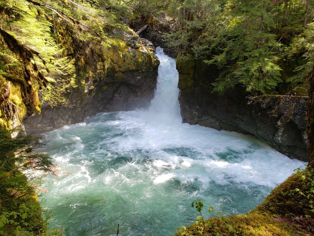
Along the way, you'll enjoy outstanding examples of old-growth forest. These trees live in subalpine, mid- mountain, and lowland forest ecosystems, all of which you'll pass through on your hike. Enjoy the refreshing sights and sounds of numerous waterfalls cascading down the canyons, and the stunning alpine views of Rainier. Late-season hikers might hear elk bugling in the forest amidst colorful fall foliage. 

If a thru-hike doesn't do it for you, it is possible to access the Eastside Trail using a variety of trailheads at several locations along its length. Grab a map and plan your outing, whether it's one, two, or multiple days.

WTA worked here in 2013, 2011 and 2007!

Hike Description Written by
Multiple authors contributed to this report, WTA Community

Eastside Trail

Map & Directions

Trailhead
Co-ordinates: 46.7512, -121.5747 Open in Google Maps

Before You Go

Stevens Canyon Road is closed for the winter season.

See weather forecast

WTA Pro Tip: Save a copy of our directions before you leave! App-based driving directions aren't always accurate and data connections may be unreliable as you drive to the trailhead.

Getting There

Start your thru-hike at Chinook Pass or Ohanapecosh. 

Chinook Pass

Park at the parking area adjacent to the park boundary on SR 410, next to the Pacific Crest Trail’s pedestrian footbridge.

Ohanapecosh Campground

Park in the parking areas adjacent to the Ohanapecosh Visitor Center and Campground.

Other access points

  • Tipsoo Lake: Park at the Tipsoo Lake picnic area, 0.5 mile (0.8 km) west of Chinook Pass on SR 410.
  • Owyhigh Lakes Trail: Park on SR 123 at the small roadside pull-off about 200 feet (61 m) south of the trailhead. Follow the Owyhigh Lakes Trail 0.4 mile (0.6 km) downhill, past Deer Creek Falls, to join the Eastside Trail.
  • Grove of the Patriarchs/Stevens Canyon Road: Park in the parking lot at the Grove of the Patriarchs trailhead on Stevens Canyon Road.

More Hike Details

Trailhead

Mount Rainier Area > SE - Cayuse Pass/Stevens Canyon

Mount Rainier National Park

You can improve or add to this guidebook entry!

Eastside Trail

144 Trip Reports

Hiked here recently?

Submit a trip report!
 
Trip Reports