

The Ingalls Creek Trail features a variety of scenery that includes big pines, boulder fields, granite cliffs, old-growth and occasional views of the mighty Stuart Range. The primary attraction in late spring is the proliferation of wildflowers, some of which are uncommon. Be prepared for the cool breezes that flow down the valley, and carry an extra layer.
The trail is an excellent day hike and a good place to spend the night, especially if you plan to hike the entire trail, which leads to Stuart Pass (16 miles one way) and beyond. There are many excellent sites for resting or camping beside the creek — but you'll have to wait until the snow melts before attempting to reach higher elevations via this trail.
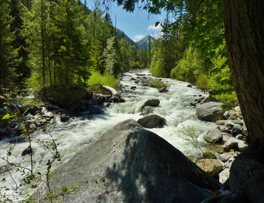
There is a gravel bar at Falls Creek, some roughed-in campsites, and a log that tempts crossing. This can be extremely dangerous during high runoff in springtime, and should be forded only during the summer months. If you want to see more beyond Falls Creek, continue up the Ingalls Creek Trail two miles and 300 feet to Cascade Creek, snow permitting.
The Ingalls Creek Trail is best enjoyed by hiking slowly in both directions and looking along the trail carefully for small flowers and fungi — but do look up and around at times because you may see elk in spring.
It is possible to follow the Ingalls Creek trail all the way up-valley, for a total distance of 14.4 miles one way. Multiple trail junctions along the way invite loop hikes and further exploration, though some of the trails up the valley walls can be a little steep and challenging, so do your research before you go. Grab a map to plot your next trip to Ingalls Creek!

 Trailhead


