

Mountains to Sound Greenway did this road to trail conversion in order to create a more sustainable, safer route for hikers to a summit on the I-90 corridor. Hike through second- and third-growth forest, pass a lovely waterfall, and enjoy a summit slightly less-frequently visited than the nearby Mount Si.
Begin your hike from the new trailhead parking area, on a half-mile access trail which switchbacks up from the lot and through second-growth forest. At a junctions, turn left on the old logging road. This road-to-trail conversion was completed by a contractor working with the Department of Natural Resources, and has made the entire former road section a much more enjoyable hike.
You'll climb gently through young forest and meadows for 1.5 miles. Through this section, you'll pass a side trail to the popular Teneriffe Falls. This is a worthwhile (if longish) detour to a gorgeous waterfall with a small overlook, but note that slippery rocks and steep dropoffs make it a place to be extra careful with novice hikers or young children.
Back on the main trail, things ramp up just past the intersection with the Roaring Creek Trail. Now you begin switchbacking at a steeper incline for 2.7 miles. Along the way, about a quarter-mile from your next intersection, take a rest and have a little water at a beautiful viewpoint of the Middle Fork Snoqualmie, complete with rock bench, placed there by the contractor who did the road-to-trail conversion.
Come to a T intersection shortly past this viewpoint, signed with another map of the area. A left here takes you via a connector trail to the base of the Mount Si haystack; it's a fun alternate way to access this popular summit. But Teneriffe is found to your right, at the end of another 2.3 miles of hiking. About a mile down this section, the road-to-trail conversion ends and you're on honest-to-goodness trail. It's narrower, and the forest is much closer, offering a completely different experience than you've had up to now.
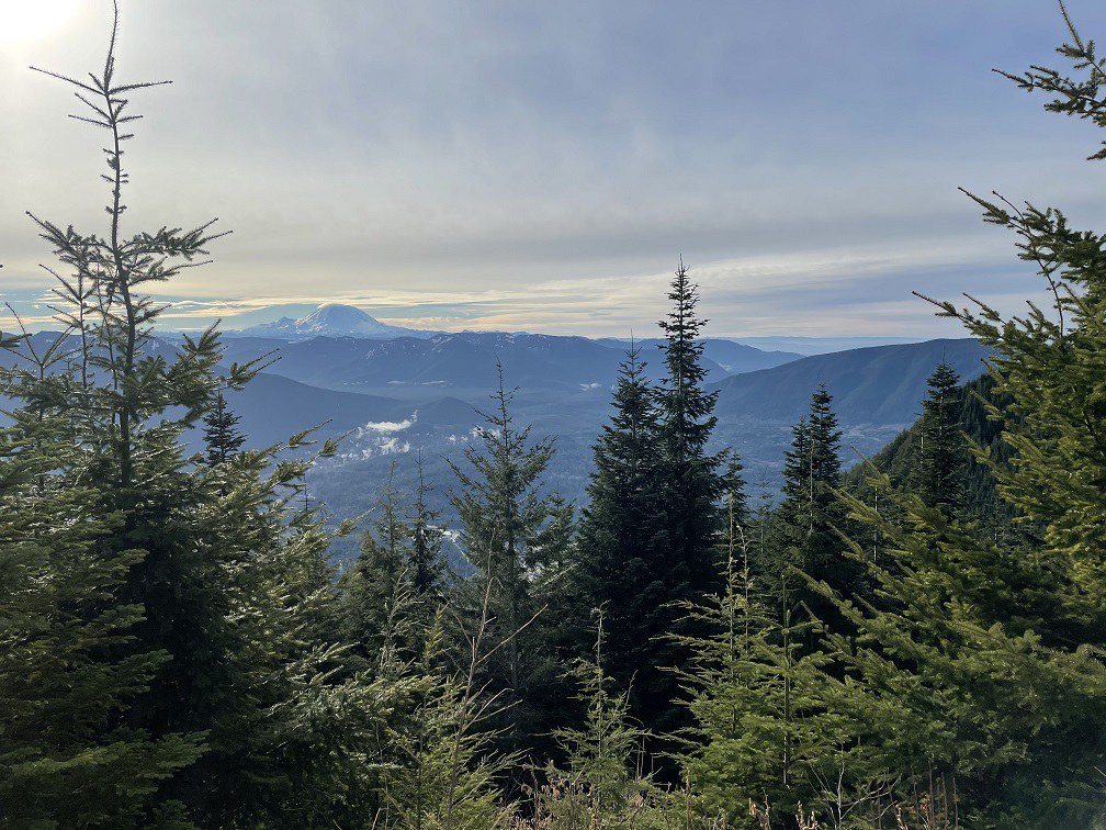
The summit push is a very short rocky scramble to the top. Be sure-footed here, and be careful to not trample the flowers and greenery surviving on the rocks. From the summit, the Snoqualmie Valley spreads out below you, and you can soak in 360-degree mountain views, from Mailbox Peak to the east, to the distant snowy summits of Mount Baker and Glacier Peak to the north, and of course, Mount Rainier to the south.
 Trailhead


