

How do you get to this trail? The nearest trailhead is the Chewuch Trailhead (5 miles away by trail), or the Thirtymile Trailhead (6.2 miles away by trail).
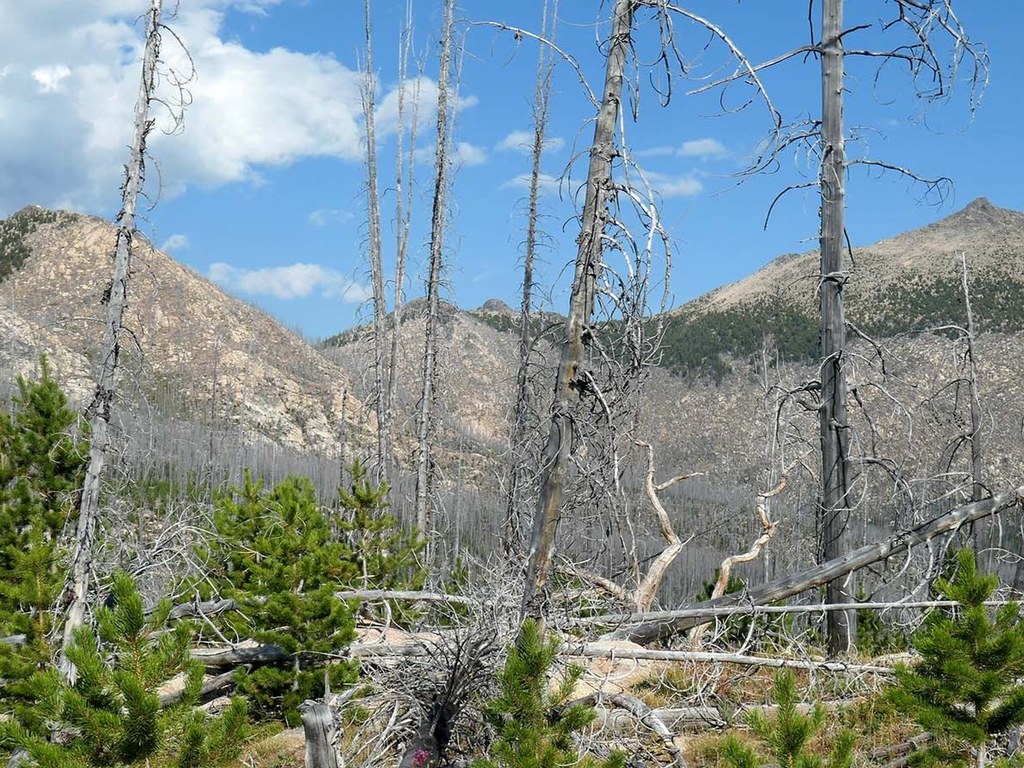
Most of the Basin Creek Trail is within the area impacted by the 2006 Tripod Fire. At the start, Chewuch River Trail #510 (elevation 4380 feet), the recovering forest is evident with the many small pines. Farther up the trail, they create “pine canyons” with their tops 10-15ft above the trail. This continues for 4.1 miles with grassy gaps providing views down the valley as the trail switchbacks up the hillside.
At 1.3 miles and 2.1 miles, pockets of forest that survived the fire provide welcome shade from afternoon sun.
At 2.4 miles (elevation 5,600 ft), there is a small camp with the last water access to Basin Creek, which flows through the summer.
At 4.1 miles (elevation 6,850ft), the trail crests a bump, with views up to Topaz Mountain and Windy Peak. The recovering forest is sparser beyond this point, with flowers in the summer. A short level section of trail provides a break from the climb, before the trail continues its cairn-marked, steep climb to the north flank of Topaz Mt.
At 5.7 miles (elevation 7,550 feet), the trail leaves the burn area and starts a traverse through a subalpine larch and pine forest on the north side of Topaz Mountain.
At 6 miles (elevation 7,540 feet), Windy Peak appears over the east shoulder of Topaz Mountain. This is followed by a short 200-foot drop into a meadowed pass where the fire impact was minimal, and the trail can be faint. After a 100-foot climb and a traverse through a larch forest, the junction with the Windy Peak Trail #362 is reached at 6.5 miles (elevation 7,360 feet).
To the west is the route to Windy Peak, and to the east is the descent toward Windy Lake.
WTA Pro Tip: This trail receives minimal formal maintenance. Be aware that there may be large and significant blowdowns to navigate if the trail has not been maintained recently.
 Trailhead


