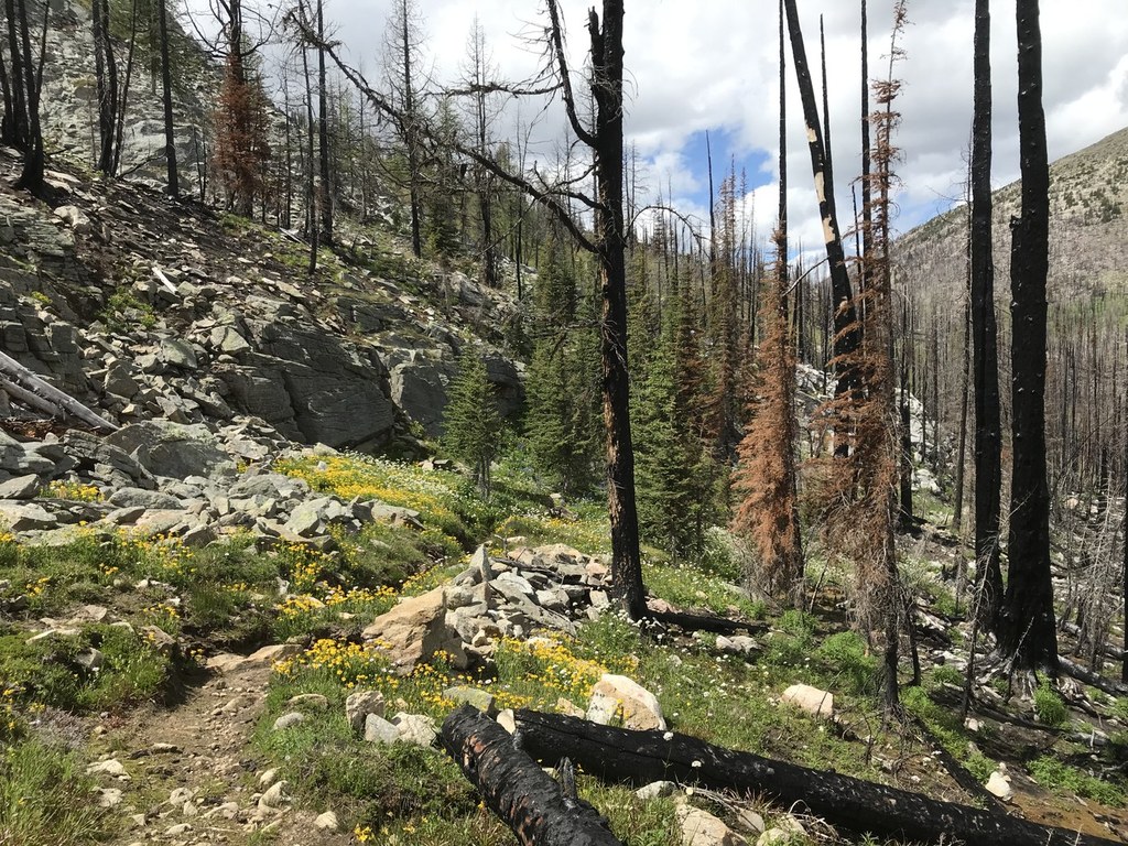

While not as well known as Horseshoe Basin and Devil’s Dome, the Billy Goat loop provides hikers with an opportunity to cross five mountain passes, visit four mountain lakes, explore rolling green hillsides and experience absolute solitude.
This five day, four night adventure begins at the 4,800 foot-high Billy Goat trailhead. The trail starts climbing at the start, reaching the treed Billy Goat Pass at 6,600 feet. Drop down the pass to an avalanche-scoured meadow complete with friendly marmots likely sunning themselves on gigantic boulders. Campsites dot the trail every so often, but your journey has just begun.
In 2.2 miles you’ll reach a junction at 5,700 ft. Stay straight and continue walking steadily uphill toward the unique Three Fools Pass. This pass is among the most fascinating you may visit, the apex narrowly sitting in a slot between two ridges. In another 2.2 miles you’ll meet a junction with the Diamond Creek trail, stay on the Larch Creek trail and cross Diamond Creek. As you climb out of the creek bed, views will open up to the west and treat you to stately nearby peaks. Proceed another 2.5 miles to a nice campsite along Larch Creek or continue up to Larch Pass. A side trail at the pass takes you to lovely campsites surrounded by, you guessed it, larch trees. Two seasonal creeks flow nearby, but don't expect water later in the summer and fall.
Day two takes you into the sublime high country! As Larch Pass is conquered the views open up. Soon you're climbing flower strewn McCall Gulch, approximately 4 miles from the previous night’s campsite or 2 miles from Larch Pass. At the top of McCall Gulch you’ll reach the 7,500 ft trail highpoint. Rest here, soaking in the views. Looking north you can see your route along the bottom of Sand Ridge. The next 3.7 miles provide you with babbling brooks, possible late-melting snow patches and finally scattered larch and fir trees at Peeve Pass. Make this area your home for the next two nights.
Day three is the “choose you own adventure day” – there are many options from the area around Peeve Pass and they are all wonderful! Here are some ideas:
• Hike the unmaintained trail to Ramon Lakes via Park Pass, nearly touching the Canadian border. Either hike back the way you came or for a more adventurous trip, finish the loop past the Sheep Lake trail. Note that the trail is faint in places as it crosses meadows, but the route-finding isn’t too difficult.
• Swim in Quartz Lake contained in a cirque below Quartz Mountain.
• Scramble up 8,274 ft Sheep Mountain – off trail experience needed. 360 degree views abound for miles upon miles.
• Wander through pretty Whistler Basin via the unmaintained Sand Ridge trail.
• Ramble along the top of Sand Ridge. You could even make a loop trip out of it by revisiting the 7,500-foot pass at the top of McCall Gulch. Note that being comfortable with rock scrambles is needed on this more rigorous route.
On day four, wake up and wave goodbye to the Pasayten high country. Head back the way you came, spending night four at the same camp as night one. On day five, hike out and consider the trip a success!
WTA Pro Tip: There are great dispersed camping options and campgrounds along Eightmile Creek road. Don’t forget to stop in Winthrop on your way out and enjoy homemade ice cream at Sheri’s Sweet Shop – I love their lemon custard!
Billy Goat Loop

-
 Length
- 50.0 miles, roundtrip
-
 Elevation Gain
- 5,000 feet
-
 Highest Point
- 7,500 feet
In one trip you can traverse over five mountain passes, visit four mountain lakes and groves of larches, and experience some of the most remote edges of the Pasayten Wilderness.
Continue reading
Hiking Billy Goat Loop
Map & Directions
 Trailhead
Before You Go
Parking Pass/Entry Fee
Northwest Forest PassWTA Pro Tip: Save a copy of our directions before you leave! App-based driving directions aren't always accurate and data connections may be unreliable as you drive to the trailhead.
Getting There
From Winthrop travel north on Okanogan County Road 1213 (West Chewuch Road) for 9 miles. Turn left on to the Forest Service Road 5130 (Eightmile Creek Road) and follow the signs for 17 miles to the Billy Goat Trailhead. You’ll come to the horse parking lot first. Continue following the road, which becomes steeper and narrower for the final mile to the hiker parking lot.


