
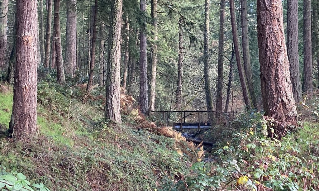

Bresemann Forest is a 70-acre park located between Spanaway and Parkland. There is an extensive network of trails here where hikers can pick and choose to make a route that works for them.
Park in the Sprinker Recreation Center parking lot and find the trail on the west end of the lot. There is a gate here that is locked when the park is closed. If you are an early riser, be sure to check with Pierce County Parks before heading out to get accurate opening hours.
A trail map from Pierce County Parks would also be a good thing to bring since this trail network can be confusing to new visitors. The Cascade Orienteering Club even has a map to test your navigation skills by finding posts situated throughout the park (find these on the Pierce County Parks website).
 Trailhead


