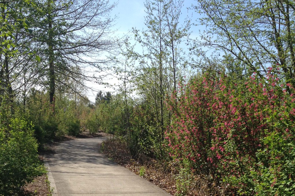

The eastern section of the Burnt Bridge Creek Trail follows the creek from Meadowbrook Marsh to Devine Road. This section of the trail features meadows and wetlands which host a variety of wildlife, including beavers, deer, and assorted birds. The creek flows through willows, cottonwoods, and red osier dogwood. The understory includes wild roses, spirea, and thimbleberry.
From the east trailhead at NE 92nd Avenue, head west along the wide concrete and paved trail. The trail is in the middle of a wide greenway and a Bonneville Power right of way. The high-voltage power lines soon come into view and the trail follows near the power lines for about half of the trail.
About 0.3 mile the trail passes under 86th Avenue. From there the trail soon passes a junction to the right that leads up to 86th Avenue. In about 0.6 mile farther the trail curves and passes a junction on the right that leads across the creek and past some seasonal ponds to Andreson Road. This junction can be followed by turning right to cross Andreson at NE 18th Street then back to the trail on the west side of Andreson. This loop rejoins the main trail in another 0.4 mile and passes by the Greenway Trailhead. Follow the main trail or the loop westward to the Devine Road trailhead.
Burnt Bridge Creek - Eastern Section

-
 Length
- 3.6 miles, roundtrip
-
 Elevation Gain
- 20 feet
-
 Highest Point
- 190 feet
The eastern section of the Burnt Bridge Creek Trail follows the creek from Meadowbrook Marsh to Devine Road. This section of the trail features meadows and wetlands which host a variety of wildlife, including beavers, deer, and assorted birds. The creek flows through willows, cottonwoods, and red osier dogwood. The understory includes wild roses, spirea, and thimbleberry.
Continue reading
Hiking Burnt Bridge Creek - Eastern Section
Map & Directions
 Trailhead
Before You Go
Parking Pass/Entry Fee
NoneWTA Pro Tip: Save a copy of our directions before you leave! App-based driving directions aren't always accurate and data connections may be unreliable as you drive to the trailhead.
Getting There
From I-205, take exit #28 Mill Plain Rd onto SE Mill Plain Blvd, towards Vancouver. Drive west on Mill Plain Blvd for about 1.3 miles. Turn right onto NE 97th Ave and go 0.8 mile. Turn left on NE 14th St. Turn right on NE Knollcrest Ave and go 0.1 mile. Continue on NE Pinecreek St for 0.2 mile. Turn right on NE 92nd Ave and drive about 0.1 mile. Turn left onto NE 19th Circle and park on the street near the trailhead. The trail begins on the north side of NE 19th Circle.
take transit
This trailhead is accessible by bus! Plan your visit by bus using TOTAGO, or consult the schedule for C-Tran route number 30.


