

Low-lying with impressive trees bordering each side of it, this trail is a nice option year-round. The Doug-fir, bigleaf maple and hemlock forest canopy in this narrow valley shades hikers in the heat of summer, and in winter the elevation means it's unlikely to have heavy snow to navigate. And since much of the first two miles is a former railroad grade, the trail is easy enough for hikers of all types.
This trail is entirely contained in the Bourbon Roadless Area, a 4540-acre expanse adjacent to the Trapper Creek Wilderness home to old-growth forest. Begin your trek through this quiet expanse of lush forest, elk and salmon habitat from the Trapper Creek Wilderness parking lot and head due north.
Almost immediately, the trail splits away from the Trapper Creek trail and begins paralleling Dry Creek, which is not always truly dry. In some places it can be full of swift, higher-than-waist-deep water and full, while in others the water drops into subterranean channels, leaving the creekbed completely.
The trail traverses natural second-growth forest of approximately 100-year-old Douglas fir and western hemlock trees. Truly impressive old bigleaf maples also form the tree canopy. This forest was logged following the Yacolt Burn in 1903 — the former railroad was used to haul logs from the forest to the mill — so you will notice large stumps of the former old-growth forest, many showing springboard cuts.
The trail soon climbs up and over a bluff above basalt cliffs overlooking Dry Creek. Descending the other side, the trail turns and joins the former logging railroad bed. The trail comes close to Dry Creek several times, offering several spots to stop and rest, though the gentle grade means you're more likely to take a break just to soak in the forest, rather than catch your breath.
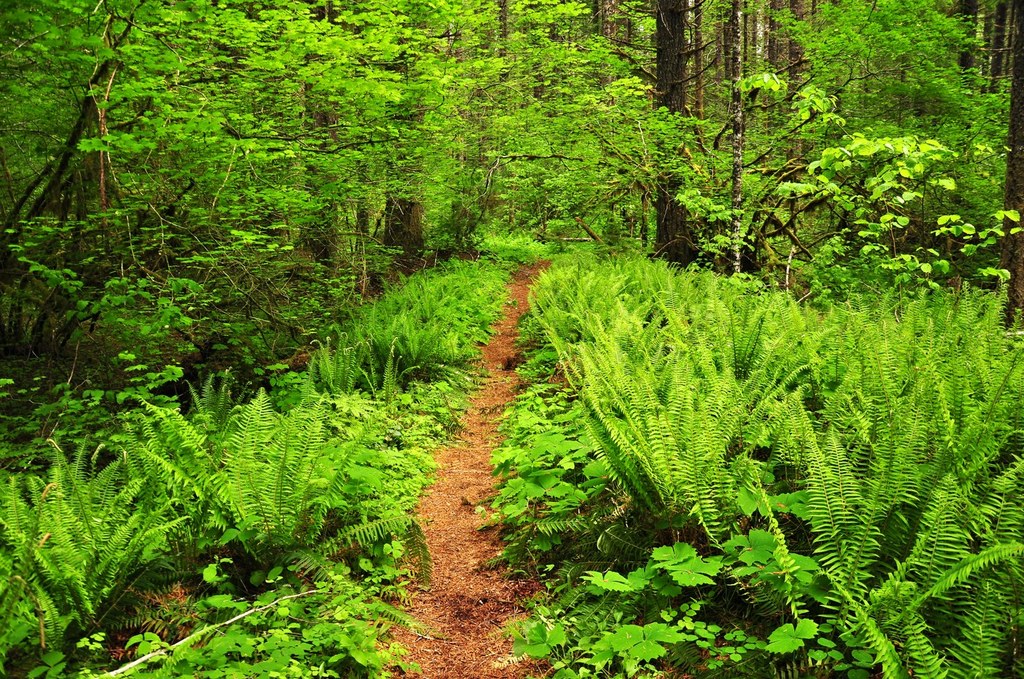
After two miles of walking, the trail takes a left and heads away from the creek. which by now has flowing water even in late summer. The trail skirts moist bottomlands of bigleaf maples, sword ferns and shrubs, and then rejoins Dry Creek soon after, where you'll hike right alongside it. This section also offers views of a ridge across the water.
As you near the end of your hike, some of the very large old-growth Douglas firs were burned in the 2020 Big Hollow Fire. When you reach the burned forest, you will know that you are close to the 4.1-mile mark at the trail ford of Bourbon Creek, which is fed by springs on Howe Ridge looming above you.
Bourbon Creek can be a tricky crossing when it's running high. Be prepared for wet feet or using your water shoes, and if the water is running too fast, feel free to turn around. After all, there's only 0.1 mile of trail past this crossing, before you arrive at the Big Hollow Trail.
Whether you stop at Bourbon Creek or continue to Big Hollow, the return trip is just as low-key and peaceful as your hike in. Take it slow, and savor the scenery.

 Trailhead


