
Fort Flagler State Park is one of five impressive military installations that were established in close proximity to protect Puget Sound from invaders during times of war. In the 1950s, all five were converted to state parks, giving the public access to thousands of near-shore acres and miles of prime coastline.
Park at the north end of the park and start your 5-mile loop hike on the stony beach, enjoying the views across to Port Townsend in one direction and Whidbey Island in the other. To your right are towering bluffs, atop which there is another trail you can take later if there is time.
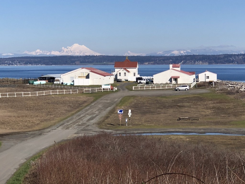
Dress in warm layers, as this trail wraps around Marrowstone Point and the wind intensity may change on you. At 2.25 miles, leave the sandy beach and climb the bluff, hike around a lagoon, and eventually make your way back to your starting point. Along the way, you’ll pass a handful of historic buildings and other structures. Bring binoculars to spot bald eagles on the bluff and dabbling ducks in the lagoon.
Fort Flagler State Park

-
 Length
- 5.0 miles, roundtrip
-
 Elevation Gain
- 150 feet
-
 Highest Point
- 150 feet
Fort Flagler State Park is one of five impressive military installations that were established in close proximity to protect Puget Sound from invaders during times of war.
Continue reading
Hiking Fort Flagler State Park
Map & Directions
 Trailhead
Before You Go
Parking Pass/Entry Fee
Discover PassWTA Pro Tip: Save a copy of our directions before you leave! App-based driving directions aren't always accurate and data connections may be unreliable as you drive to the trailhead.
Getting There
From Seattle, catch the Edmonds-Kingston ferry across Puget Sound. Follow State Route 104 west towards Port Gamble, and head over the Hood Canal Bridge. Take a right on State Route 19, Beaver Valley Road, and head north for about 10.5 miles. Turn right onto State Route 116, heading east through Indian Island onto Marrowstone Island. Continue north on State Route 116 to Fort Flagler State Park, all the way to the parking lot on the northwest tip of the island.
An automated pay station is available at the park to purchase a one-day pass, annual Discover pass, or boat permit. Restrooms available.


