

The Fossil Trail is one of five trails radiating out of the Kalama Horse Camp in the Mount St. Helens National Volcanic Monument. A great option for hikers looking for a modest workout and nice views of the area, this offers a hike to a babbling creek for a nice out-and-back, or make it a full day with a 14-mile loop.
It's a good summer option when this area is hot since most of the trail weaves under the shade of an old-growth forest. Find the trailhead at the north end of the Kalama Horse camp; you'll walk across FR 81 to the trail signpost. The first quarter-mile is relatively flat, then joins an abandoned logging track and ascends at a 20% grade for a mile with just a couple switchbacks to mediate it. This is the steepest part of the whole trail. The second mile levels out a bit, and by mile three, at the saddle, the trail is mostly level.
Along the way, northeast of the trail looms 4965-foot Goat Mountain. It plays peek-a-boo between the trees as you climb. The trail ascends one side of the mountain, then crosses a flat plateau for a mile, then descends into the Fossil Creek Valley and contours around the western slope of Goat Mountain; it makes an impressive view along the Fossil Trail.
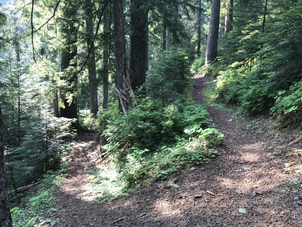
The quality of the forest makes this hike. Groves of old growth noble fir and hemlock, as well as western redcedar marks this as a mature mixed forest. Some of the largest trees are between four and six feet across at chest height. Quite robust for a forest blown away by a volcano just a few decades ago! The trail is comprised of ash and pumice mixed in with clay soil and no standing water.
At mile 3.3, the trail enters the Mount St. Helens Monument boundary and dips in and out of it for a mile. It is here the trail descends to Goat Marsh Creek – the only water source. On this part of the trail, now traveling east, you get a few glimpses of the volcano.
Four miles in, a rugged bridge (built in September of 2018 thanks to funding acquired by Back Country Horsemen of Washington) spans Cold Springs Creek. The new bridge crossing to the end of this trail is 1.5 miles on a dual track old logging road that connects to FS 8123 and the Toutle Trail. The new bridge is where some choose to make this their turnaround point.
From the new Fossil Trail bridge to the end of the trail is a junction just south of Blue Lake at the Blue Lake Trailhead. From here, cross the lahar debris field to the Toutle Trail, then use the Blue Horse Trail to return to the Kalama Horse Camp, making a 14-mile loop. As always, be sure to carry a map in order to keep track of the crisscrossing trails and roads here.
In May 2019 Backcountry Horsemen, Washington Trails Association, and Mount St. Helens Institute teamed up and retreaded the whole trail. It has never looked better.

 Trailhead


