

Start by finding the signpost marking the beginning of the trail. A nice map shows the layout of the larger trail system that connects to Gatton Creek. The trail is wide and beautiful with a gravel and packed dirt tread lined with moss. Near the beginning the way passes through a spruce bottom full of alder and vine maple.
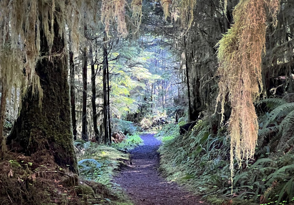
A babbling stream can be heard, then you cross it on a charming wooden bridge. The scenery is dense rainforest, so there are no expansive vistas to behold here. One must simply revel in the abundance of growth instead. Curtains of moss hang in profusion. Nurse logs and rotting stumps provide habitat for new saplings. Licorice ferns and other epiphytes adorn the myriad surfaces available to them.
Quickly the trail begins a gentle incline. Via several switchbacks along mossy corridors, the way heads generally south toward Quinault Ridge. Young hemlock and spruce vie for existence among the moss and lichen. The forest floor and path are littered with small debris such as lobaria, a lichen which falls from high in the canopy and is a treat for elk and deer.
At 0.4 miles there is a nice view upstream toward Gatton Creek Falls. The viewpoint feels spacious compared to the tight corridors already traversed. The trees are very tall, but not very wide. Soon after, at 0.6 miles, the trail comes to a junction with a kiosk marking the intersection of the two trails. Turn left for a very quick walk to a nice bridge with views up and down the stream.
For further exploration, one could head west and combine the Falls Creek loop, or head east and end at the world’s largest Sitka spruce. Both of these options add more miles and elevation gain but eventually lead the hiker back to the South Shore Road. Of course, one could simply return by the same route to complete a satisfying 1.2 mile round trip.
 Trailhead


