Trails for everyone, forever

Home Go Hiking Hiking Guide Lauretta Norene and Groth Nature Preserve
link

Lauretta Norene and Groth Nature Preserve

Southwest Washington > Vancouver Area
45.7275, -122.5698 Map & Directions
Length
1.25 miles of trails
Elevation Gain
15 feet
Highest Point
291 feet
The entrance to view the trail system. Photo by Sunrise Creek. Full-size image
  • Dogs allowed on leash
  • Good for kids
  • Fall foliage

Parking Pass/Entry Fee

None

The hidden forest trails here are actually two nature preserves gifted to the county, the northern Loretta Naurene Forest Preserve in 1992 and the southern Groth Nature Preserve in 1997. Continue reading

Rating
0.00 out of 5

(0 votes) Log in to rate

Hiking Lauretta Norene and Groth Nature Preserve

The hidden forest trails here are actually two nature preserves gifted to the county, the northern Loretta Naurene Forest Preserve in 1992 and the southern Groth Nature Preserve in 1997.  Approximately 1.25 miles of trails connect the two tracts, with a 0.5 mile forested loop in the northern half linked with a slightly longer loop in the southern half.

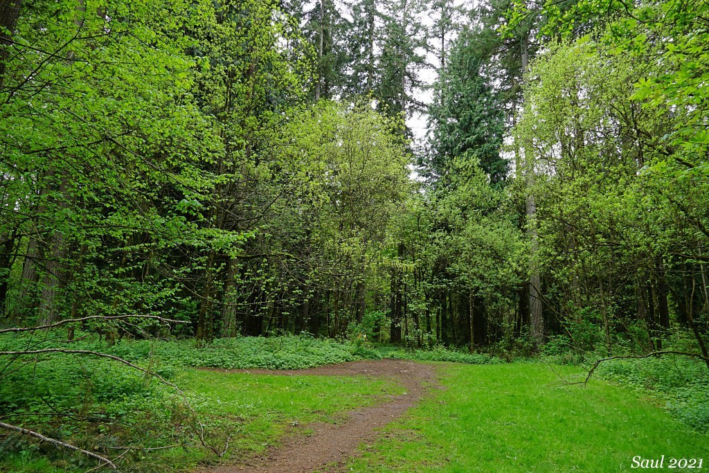
The trails are wide and well-maintained, but expect to find muddy conditions no matter the time of year. It is a mostly flat hike, with a gentle 10' incline on the northern half. There are a couple different access points, but the best is through the Lucky Memorial off-leash dog park, because of the parking lot. 

Hike Description Written by
Multiple authors contributed to this report, WTA Community

Lauretta Norene and Groth Nature Preserve

Map & Directions

Trailhead
Co-ordinates: 45.7275, -122.5698 Open in Google Maps

Before You Go

See weather forecast

Parking Pass/Entry Fee

None

WTA Pro Tip: Save a copy of our directions before you leave! App-based driving directions aren't always accurate and data connections may be unreliable as you drive to the trailhead.

Getting There

The trails have no direct road access, but can be accessed through the Lucky Memorial Dog Park.  From I-5, take exit 9 and head east on 179th St. for 3.2 miles, then turn right on NE 72nd St. for 1.0 mile. Turn left onto 159th for 1.0 mile, then turn right onto NE 92nd for 0.1 mile before this turns slightly to become 156th for 1.0 mile. Turn right onto NE 112th which turns into 154th for 0.4 mile before turning right onto NE 117th for 0.3 mile. Turn right onto NE 149th and your destination will be on the left. 

Park at Lucky Memorial Dog Park at the end of NE 149th St. There is parking for 25 cars. Enter the main dog park (this is an off-leash dog park so plan accordingly) via the gate on the left, proceed to the southwest corner, exit through the gate, and find the trailhead to the right.  Note that the road that leads to the trailhead (NE 101st Pl) is a private driveway and vehicle/pedestrian traffic is prohibited. 

More Hike Details

Trailhead

Southwest Washington > Vancouver Area

Clark County Parks

You can improve or add to this guidebook entry

Lauretta Norene and Groth Nature Preserve

5 Trip Reports

Hiked here recently?

Submit a trip report!
 
Trip Reports