

Accessing this beautiful section of the Wenatchee Foothills is done from the north end of town on Horse Lake Canyon Road. The trailhead is three miles from where the pavement ends and the climb up the well-kept dirt road offers some great views. Horse Lake Reserve is and is owned and managed by Chelan-Douglas Land Trust.
Trails in this area are closed from Dec. 1 through April 1 to protect winter mule deer habitat. Trails south of 5th Street — including Castle Rock, Jacobson Preserve and Saddle Rock — are open year-round. Leashed dogs are welcome on all the foothills trails. Please be a good steward and pick up after your dog.
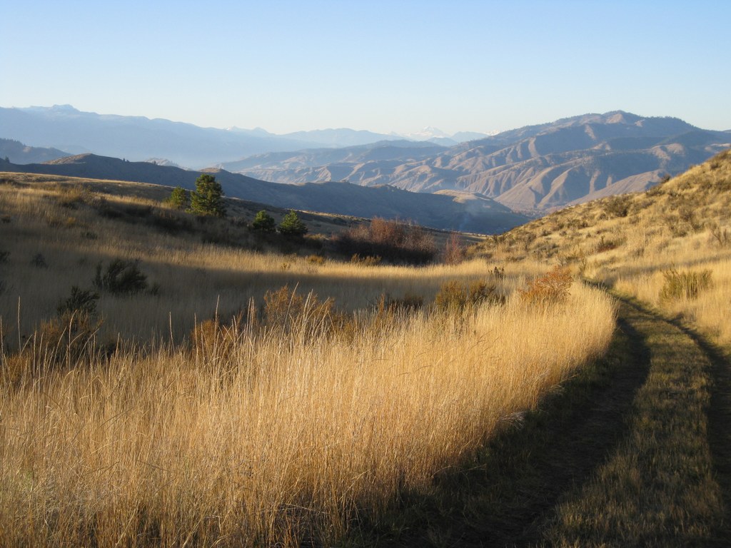
From the short trail to a viewpoint overlooking the Wenatchee Valley, hikers can clearly make out Highway 2 far below. Read the interpretive signs for information on the area's geology, flora and fauna. Years ago, the land that makes up Horse Lake Reserve was working farmland. Today, hikers can still see the remains of old barns visible on the horizon. Through the efforts of conservationists and concerned citizens, it is now held in public trust and used not only for hiking and mountain biking, but also as a vital habitat for wildlife.
As you hike, enjoy increasingly expansive views of Wenatchee, the Columbia River, and the surrounding area. At half a mile, arrive at a fork in the road. Taking a right turn here results in a mile-long loop, ending back at the parking lot.
Continuing on for a longer loop, hikers will reach a trail marked as the Homestead Trail after another half mile. The trail steepens here, with a few switchbacks before leveling out again. After 2.2 miles on the Homestead Trail, arrive at a junction with the Old Ranch Road. Follow this wide dirt road back down through what was at one time farmland for two miles until reaching the parking lot.
The trailhead has trail maps, a restroom and picnic tables. It is for day use only; please do not park overnight.
WTA Pro Tip: This is a first-class day hike opportunity that kids are sure to enjoy. Aside from enjoying the outdoors and the exercise, the local history available in the brochures and on the reader board at the trailhead is a real bonus.
 Trailhead


