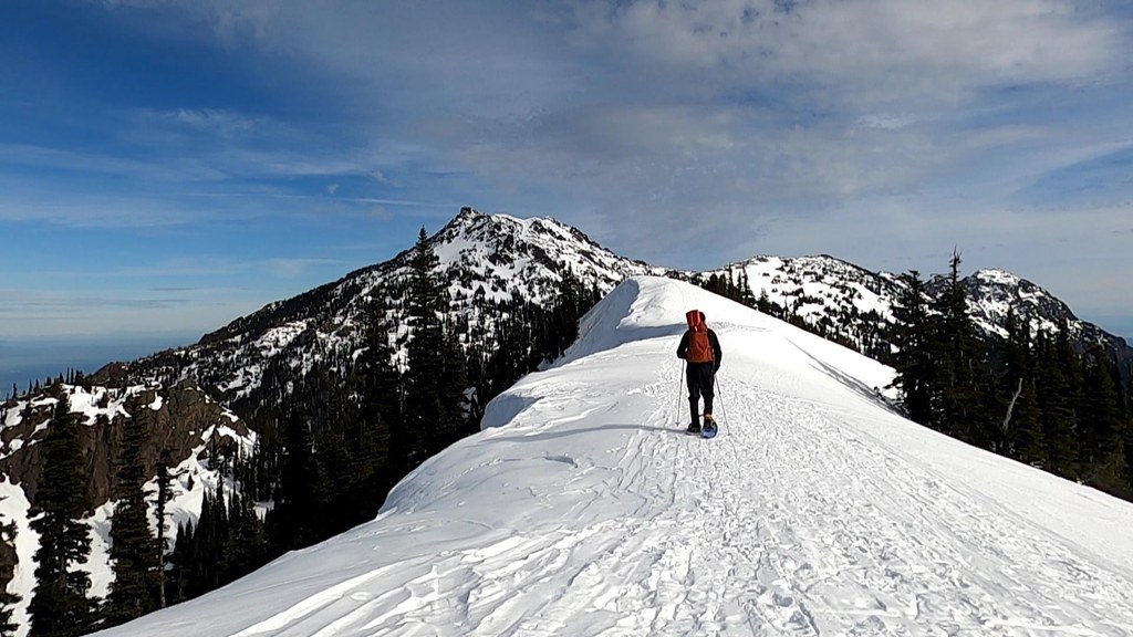

The snowshoe out Klahhane Ridge in the winter can be pleasant but also traverses through steep terrain that may hold snow that could slide. Visitors exploring this area should have good gear for snow travel, a route in mind, and the ability to recognize avalanche risk.
Klahhane Ridge Snowshoe

-
 Length
- 4.0 miles, roundtrip
-
 Elevation Gain
- 1,500 feet
-
 Highest Point
- 6,080 feet
Parking Pass/Entry Fee
National Park Pass
A snowshoe route along a ridgeline above the Hurricane Ridge parking area. Maybe difficult or impossible to access in winter.
Continue reading
Hiking Klahhane Ridge Snowshoe
Klahhane Ridge Snowshoe
Map & Directions
 Trailhead
Before You Go
Parking Pass/Entry Fee
National Park PassWTA Pro Tip: Save a copy of our directions before you leave! App-based driving directions aren't always accurate and data connections may be unreliable as you drive to the trailhead.


