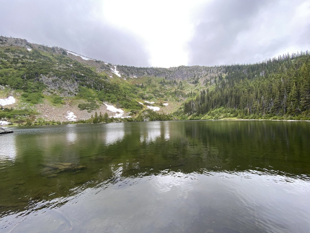
The trail starts from Gill Creek Road, named after the Gill Creek that has Lake Ethel as its source. The Gill Creek Road crosses the railroad in a spot where trains are regularly waiting for other trains from the opposite direction to come down from Stevens Pass, so expect that you might have to wait for a bit for the train to depart.
From the trailhead at 2400 feet, waste no time in ascending through the steep forest with many switchbacks for about 1.2 miles until 3800 feet. In spite of the gain, the way is very well-graded. Now and then, the forest opens up for nice views of the Nason Ridge on the other side of the valley. A couple of switchbacks are close to the Gill Creek, which has a nice volume of water in early summer. From this point, there is no water source close to the trail.
At 3800 feet, the trail enters a big clear-cut area (this area is private land that is logged). While it is odd to see every single tree eradicated in this area, it does have some benefits — expect big views of nearby mountains like Mount Mastiff and Nason Ridge. The trail is closed beyond the first junction with Forest Road 6930.


 Trailhead


