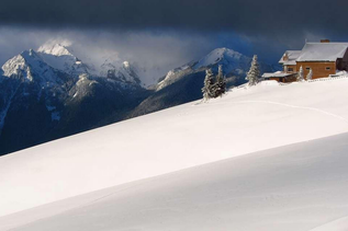
Low Mountain doesn't get many visitors who prefer a visible trail. Most hikers start at the Denny Creek trailhead and head to Melakwa Lake or nearby waterfalls. But if you're in it for the scramble, the rewards are a nice hike in the wintertime.
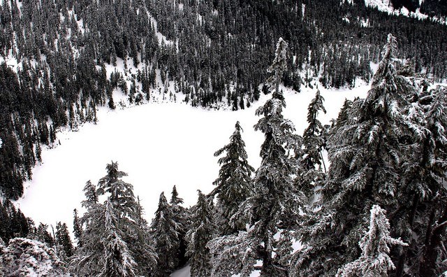
The scramble starts just after the Denny Creek crossing. Heading up to the basin, the way is relatively clear, but the elevation gain kicks in on your way to the upper meadows. Once on the ridge, the trail becomes easier to follow all the way to the summit.
Be careful at the top, it can be very windy, and cornices of snow are always a danger.
Low Mountain

-
 Length
- 6.0 miles, roundtrip
-
 Elevation Gain
- 3,300 feet
-
 Highest Point
- 5,420 feet
Parking Pass/Entry Fee
Sno-Parks Permit
A scramble up a mountain just off I-90 near Snoqualmie Pass. Route finding and climbing experience required.
Continue reading
Hiking Low Mountain
Low Mountain
Map & Directions
 Trailhead
Before You Go
Parking Pass/Entry Fee
Sno-Parks PermitWTA Pro Tip: Save a copy of our directions before you leave! App-based driving directions aren't always accurate and data connections may be unreliable as you drive to the trailhead.