

The first thing you need to know is that there is no longer a Mill Pond, despite what your topo map may show you. The dam that once impounded Sullivan Creek was removed in 2017 and habitat restoration followed. The site now offers accessible hiking trails in the tranquil northeastern corner of Washington State. Mill Pond Flume Trail is a 0.6 mile interpretive loop that showcases several historic structures, while the 0.9-mile Floodplain Loop takes you through reborn meadows and young groves of willow and aspen.
Mill Pond Flume Trail
The trailhead for the Mill Pond Flume Trail begins at the west end of the lower parking area. The trail begins by crossing a sturdy footbridge over the canyon at the former dam site, then goes southwest, along what used to be the shoreline. When you reach a fork, take the right trail, which declines gently into the forest.
You’ll pass historical markers that include a log cabin and the remnants of a flume that formerly carried water all the way down the mountain to Metaline Falls.
Take a moment to sit on one of the wooden benches along the side of the trail and enjoy the deep peace. In the shade of cedar and pine, you’ll hear nothing but the rushing creek and birdsong. The trail eventually intersects the Sullivan Creek Trail; turn left and go back over the bridge to the trailhead.
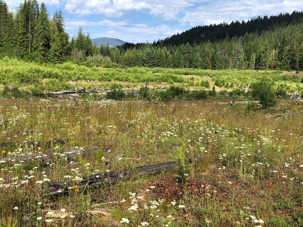
Sullivan Creek Floodplain Trail
The Sullivan Creek Floodplain Trail begins at the east end of the lower parking lot. The sign says “Sullivan Creek Trail 565,” but within a few strides you’ll reach a fork. As the sign indicates, bear right for the Floodplain Trail, which gradually descends.
At about a third of a mile you’ll reach a junction, where you can go either way; it makes a loop around the flat floodplain. You’ll see groves of young trees, some new saplings, and meadows of wildflowers.
Near the west end of the loop you’ll come to a short spur trail that supposedly gives you a view of the former dam site. However, the view is obscured by young trees that are clearly thriving – and after all, that’s the whole idea of restoring this valley. Continue around the rest of the loop and return to the trailhead.
 Trailhead


