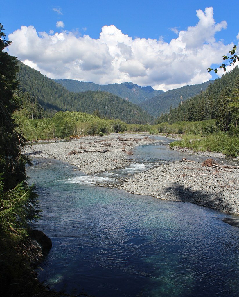
The hike to Halfway House follows the first five miles of the North Fork Quinault River along the same route taken by the Press Expedition of 1890. The trail passes through superb lowland rainforest before entering the canyon of the Quinault. Halfway House makes a good picnic spot for day hikers and is also a great campsite for backpackers on a longer journey.
The trail starts behind the signpost at the end of the road. The forest here has been reshaped by wind storms, and the trail makes its way through patches of blowdown. In general, the tread is in good condition. Occasional riverside vistas look onto snowy peaks beyond meandering gravel bars.
About a mile in, a large bite threatens the remaining tread above a high washout. The way then descends to a wide flat, filled with large cedars and moss-laden maples. Several streams that run early in the season have created a gravelly alluvial fan among the giant trees.
At 2.5 miles is the side path to Wolf Bar, a campground which occupies the last large flat along the way. Thick spruce trees tower above a lush bottomland filled with sword fern. Several roomy sites are spread out among the flat and share a bear wire nearby. The wide expanse of gravel next to the river makes a good end point for parties wanting a shorter hike.
Just after Wolf Bar the trail makes a noticeable push uphill, leaving the flat and river, although the latter is always within earshot. Several side streams along this section present wet and muddy conditions early in the season. The larger flows spill in majestic tumbles and ribbons between rock walls above occasional foot bridges.
At 4.2 miles the trail passes a good sized stream, beyond which the way becomes rocky and sometimes brushy. The forest here is almost pure silver fir, and much of it is very old. The Quinault can be heard in the canyon below, although it is mostly out of sight. After a series of varying terraces the trail dives down into the canyon of a major tributary.
Wild Rose Creek, at 4.9 miles, presents a possible challenge. There is no bridge, so the hiker must ford. In late summer this means carefully hopping across dry rocks, but in early summer the canyon rages with snowmelt. Wild Rose Creek should also be considered a factor for the return if substantial rain falls during a longer trip.
Upon the far bank the trail gains a spur and then drops down to the valley bottom and Halfway House, the former site of a lodge that is long gone. The site is now occupied by several sandy campsites, one of which is suitable for a large group. The gravel bar nearby leads to the emerald North Fork Quinault beneath a skyline of high, forested ridges.


 Trailhead


