Trails for everyone, forever

Home Go Hiking Hiking Guide Northridge Park Trail

Northridge Park Trail

Puget Sound and Islands > Bellingham Area
48.7821, -122.4211 Map & Directions
Length
1.2 miles, roundtrip
Elevation Gain
200 feet
Highest Point
615 feet
Calculated Difficulty About Calculated Difficulty
Easy
Walking through the trees along the Northridge Park trail. Photo by westcoastpj. Full-size image
  • Dogs allowed on leash
  • Fall foliage
  • Good for kids

Parking Pass/Entry Fee

None
Saved to My Backpack

Northridge Park is a small greenspace on the edge of Bellingham's Barkley neighborhood with a short forested loop trail. Continue reading

Rating
0.00 out of 5

(0 votes) Log in to rate

Hiking Northridge Park Trail

Established in 1991, this neighborhood park has multiple access points, mostly in residential neighborhoods.

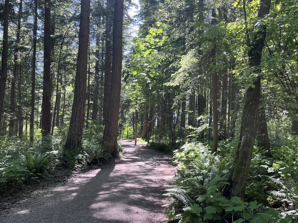
The park has one main loop running through it, running just under 1 mile in length, which includes a bench and bridge, making for a great family urban hike. These stats reflect a hike starting from the E McLeod Rd trailhead, which adds a 0.5-mile roundtrip hike to access the loop, then a counterclockwise wrap around the loop and back to E McLeod Rd.

Toilet Information

  • No toilet at trailhead

More information about toilets

Wheelchair Accessibility

There are stairs at the Chandler Parkway and E McLeod Road access points to the loop. 

Northridge Park Trail

Map & Directions

Trailhead
Co-ordinates: 48.7821, -122.4211 Open in Google Maps

Before You Go

See weather forecast

Parking Pass/Entry Fee

None

WTA Pro Tip: Save a copy of our directions before you leave! App-based driving directions aren't always accurate and data connections may be unreliable as you drive to the trailhead.

Getting There

Although there are many access points to the park, most of the access points are in residential neighborhoods with no good parking options. Your best option to access the park if you don't reside within the neighborhood may be via public transit.

Take Whatcom Transportation Authority route 540 to MaGrath Rd at McLeod Rd stop. The trailhead is right across the street. Head south about a quarter mile on this trail to reach the forested park loop. Please note that this access point has stairs. 

The park can also be accessed via the Klipsun and Railroad trails. 

More Hike Details

Trailhead

Puget Sound and Islands > Bellingham Area

City of Bellingham

Guidebooks & Maps

https://cob.org/wp-content/uploads/bellingham-trail-guide.pdf

https://cob.org/wp-content/uploads/connelly-creek.pdf

You can improve or add to this guidebook entry!

Northridge Park Trail

2 Trip Reports

Hiked here recently?

Submit a trip report!
 
Loading trip reports...
Trip Reports