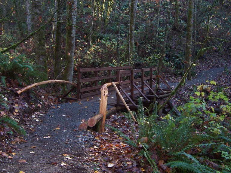
The 1,000-acre Green River Natural Area is a wonderful gateway to the middle stretch of the Green River. Composed of steep valley walls and a broad valley floor, the natural area provides trails for hiking and horseback riding as well as access to the most dynamic reach of the Green River in King County.
The Green River Natural Area is about seven miles east of Auburn and roughly six miles northwest of Enumclaw. The natural area is comprised of the former Metzler, O'Grady and Green River Waterway parks, which all lie along the Green River.
The King County Department of Natural Resources and Parks acquired these lands with funds from a variety of sources including Waterways 2000 and Washington State Salmon Recovery Funds, for the purposes of critical salmon habitat protection and preservation.
Visitors to Green River Natural Area can engage in activities such as walking, bicycling, nature observation and horseback riding, as well as fishing, rafting, tubing and kayaking.
Mixed evergreen and hardwood forests dominate the upper slopes while the mighty black cottonwoods cover much of the river banks. The Green River provides critical spawning and rearing habitat for coho, chum, Chinook salmon and steelhead.
WTA has worked here for years to improve and extend the trail system, giving visitors and nearby residents of Auburn and Enumclaw a quiet escape.
Potter's Trail
Start out from the parking area on the edge of expansive farmland. For the first section of the hike you’ll be descending along a wide access road. Take in the towering big leaf maples fringed in licorice ferns and the road curving into the distance through a tunnel of green.
After a quarter mile, turn right onto the Hop Craze Trail marked clearly by a wooden sign. Trek along this single-track trail that ends after half a mile at a point farther down the same access road you started on.
Continue downhill on the road for a short while until you come to a clearing. With benches, a picnic table, and a porta-potty, this is a good place for a break. Next, turn right onto Potter’s Trail. As you leave the access road behind, the forest will begin to take over.
Cruise along this moderate grade, taking note of the occasional wooden step on the side of the trail. These aid horseback riders in mounting and dismounting. Remember to yield to horses by stepping off on the downhill side of the trail.
Stay left at the one fork, and soon you’ll come to a couple of steep switchbacks that end at an expansive clearing stretching out to the edge of the river. Stay on the trail, going past this field, to the final stretch out to the water’s edge. Depending on the season this part may be underwater, preventing you from a clear view of the river but offering a glimpse into the yearly cycle of a forest along a river’s edge.
There are several other trails here, including the Three Bridges and the Stevensonville Loop, King County Parks has a great map of this area on their website.


 Trailhead


