
The Old Sauk Trail now has a new trailhead that provides barrier-free access to a viewpoint of the Sauk River via a mile-long loop trail. The longer trail meanders along the banks of the Sauk River, sections of which were once part of the old pioneer trail linking Darrington to the Monte Cristo mines. Scattered mossy cedar stumps are telltale signs that long ago the area was once partially logged. Joyfully, a lovely forest remains. This gentle trail makes it easy to slow down and enjoy the stately stands of Douglas-fir and cedar as well as to spy eagles, or perhaps an occasional coyote.
The loop is best done by heading north from the trailhead, where it follows an old roadbed through grand bigleaf maples before veering onto a terrace sprinkled with sky-scraping conifers. The trail skirts the edge of the terrace while wandering between giant volcanic boulders, reminders that Glacier Peak is just upriver. After a half mile the trail begins a short descent through a mixed alder forest to the river and a viewpoint.
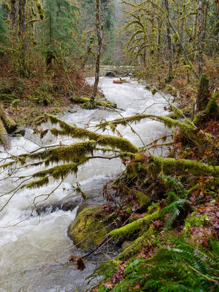
Back on the terrace, the trail continues by dipping down and crossing a small seasonal creek, then passing above a man-made fish channel. Here you can observe the wondrous works of beavers, and maybe even catch them in action. The hike back to the trailhead is a short quarter-mile from the channel.
For a longer hike, start at the trailhead near the Clear Creek Campground and hike to the trail’s end at Murphy Creek (3 miles), taking in the loop along the way.
Old Sauk ADA Loop

-
 Length
- 1.0 miles, roundtrip
-
 Elevation Gain
- 200 feet
-
 Highest Point
- 800 feet
Try this early-season, ADA-accessible hike to enjoy big trees, rushing waters and glimpses of eagles, mergansers and river otters.
Continue reading
Parking Pass/Entry Fee
Northwest Forest PassHiking Old Sauk ADA Loop

WTA worked here in 2023, 2021 and 2019!
Old Sauk ADA Loop
Map & Directions
 Trailhead
Before You Go
Parking Pass/Entry Fee
Northwest Forest PassWTA Pro Tip: Save a copy of our directions before you leave! App-based driving directions aren't always accurate and data connections may be unreliable as you drive to the trailhead.


