

Frequented mostly by those on two wheels, Pot Peak sees the occasional hiker and trail runner but overall traffic is low. Starting off at 1,900 feet in elevation and steadily gaining the ridge, expansive views begin in soon after starting from the trailhead, and Pot Peak reveals itself through the trees at 3,900 feet and 3.3 miles. Visitors typically climb a portion of the trail for a panorama of the surrounding peaks and ridges before returning to the parking lot.
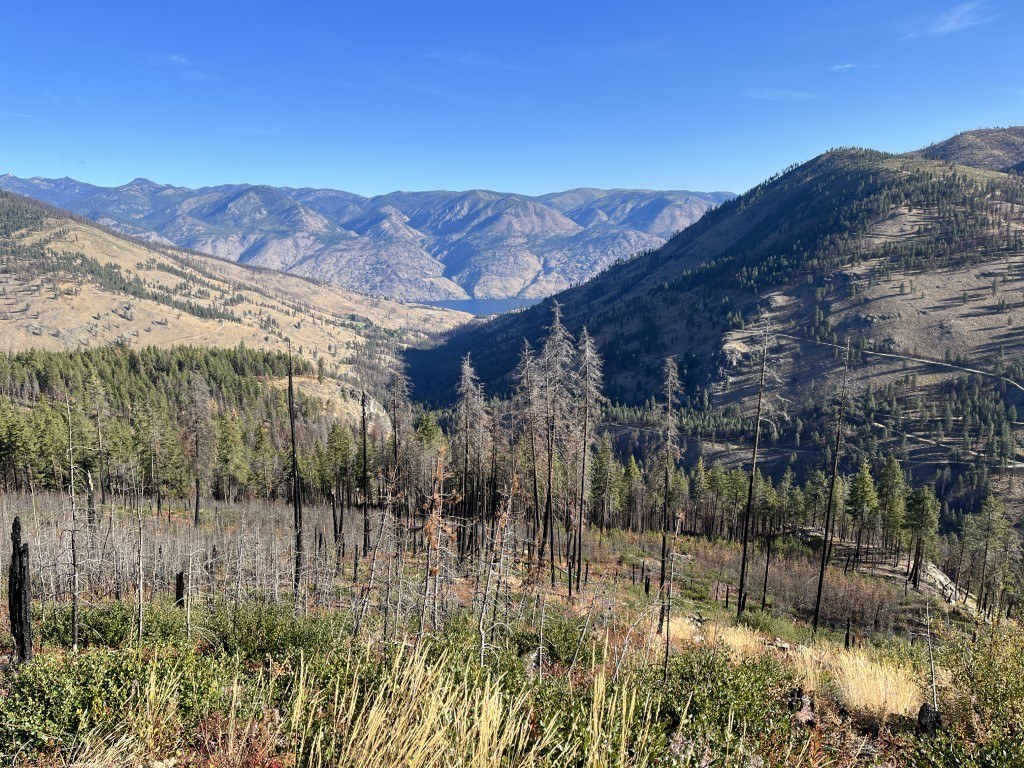
Originally blackened by the Pot Peak wildfire in 2004 and again in the Twenty-Five Mile Fire of 2021, the re-emerging forest is largely stubby understory and ebony trunks piercing the sky. The trail’s high point is its intersection with the Devil’s Backbone trail at 8.9 miles and 6,670 feet but an ashy scramble is possible where the trail skirts 300 feet beneath the juvenile lodgepole-choked summit of Pot Peak (4,700 feet), 4.25 miles from the trailhead.
The trail is regularly maintained with experienced mountain and dirt bikers in mind, so the tread is fairly narrow in places and switchbacks are reinforced with aging cinder blocks. The Northwest Motorcycle Association, Evergreen Mountain Bike Alliance, Washington Off Highway Vehicle Alliance and the Forest Service collaborate to keep the Pot Peak Trail available for possible loops to the summits of nearby Angle Peak, East Point and Crescent Hill. Late summer can find a soft trail with deep pumice.
Not considered to have a water source, you may encounter a small trickle crossing the trail at 1.3 miles from an inaccessible spring tucked into a vegetation-clogged gully at 3.2 miles. Your best bet is to top off where Twenty-Five Mile Creek runs across from the trailhead as this and surrounding trails are exposed ridgelines. It is possible to camp at nearby Twenty-Five Mile Creek State Park or the more primitive Snowberry Campground managed by the Forest Service.
 Trailhead


