
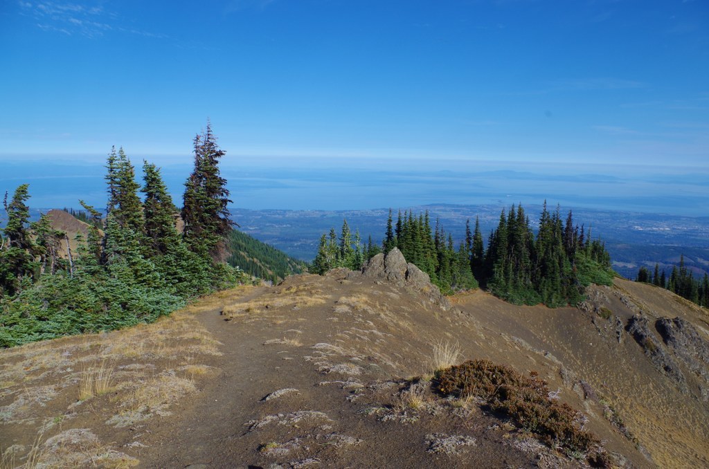

A short half-mile hike, the Rain Shadow Loop takes you to the top of Blue Mountain. Views of the Cascades, Vancouver Island and the Strait of Juan De Fuca, Gray Wolf Ridge, and so much more await you here.
The loop starts heading uphill, then levels out at the top of Blue Mountain. There are so many views surrounding you, so don't forget your camera. Cities as well as extensive views of the water, islands, mountain ranges, and river valleys spread out at your feet. Keep an eye out closer in as well; you'll also see wildflowers and sightings of deer and wild rabbits.
The drive up to the Deer Park Campground and Blue Mountain is easy. After 9 miles of paved road, it turns into a dirt, mostly single car lane road. There are turn offs, for oncoming vehicles. Because the road is narrow, this area is only open from late spring to late fall, but it's worth the trip!
Call the ranger station to be sure this road is open -- the trailhead is very high, and snow sticks around late in the high country around here.
 Trailhead


