
The Hemlock Trail is a main east-west arterial of the Chuckanut Mountain trail system that connects the popular (and mostly flat) Interurban Trail with the Pine and Cedar Lakes area. The Raptor Ridge trail is found along this artery, and takes you to a lovely viewpoint over the forested hills of Chuckanut.
Begin at Arroyo Park, which itself is like a walk through a gorge in a mini rainforest. Heavy timber dims whatever sun there is outside, and the tangle of hanging limbs, lichens and sword ferns adds to an otherworldly atmosphere.
From here, head up the hill and in about half a mile, go left at the sign for Lost Lake. The trail is a connection of overgrown roads, climbing through forest in various states of re-growth. Some deep and dark, others more open, with partial views to Mount Baker.
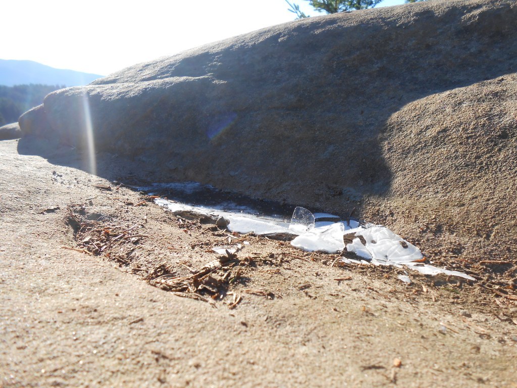
Signs lead the way to Raptor Ridge Trail, about 3.5 miles from Arroyo Park. The forest here is almost cave-like, it's so dense (and seemingly always cold), an impression that's enhanced by huge boulders and overhanging rock faces.
Shortly, however, the trail opens up revealing a 180-degree awe-inspiring vista high atop a rock cliff. It's a terrific lunch spot. Various hawks next in the area and eagles are often spotted flying overhead, hence the trail's name.
Nearby, it's possible to connect with trails leading to Pine and Cedar Lakes, Lost Lake, and the Madrone Crest Trail.
WTA Pro Tip: Don't forget your map! While the trails are well signed on Chuckanut, having a map to consult will not only help you see how far you've gone, but you can put together countless loops as well.
Raptor Ridge Trail

-
 Length
- 8.0 miles, roundtrip
-
 Elevation Gain
- 1,500 feet
The Hemlock Trail is a main east-west arterial of the Chuckanut Mountain trail system that connects the popular (and mostly flat) Interurban Trail with the Pine and Cedar Lakes area. The Raptor Ridge trail is found along this artery, and takes you to a lovely viewpoint over the forested hills of Chuckanut.
Continue reading
Hiking Raptor Ridge Trail
Map & Directions
 Trailhead
Before You Go
Parking Pass/Entry Fee
NoneWTA Pro Tip: Save a copy of our directions before you leave! App-based driving directions aren't always accurate and data connections may be unreliable as you drive to the trailhead.
Getting There
From I-5, take exit 250 to Fairhaven Parkway, a left if northbound or a right if southbound. In about 1.4 miles turn left to stay on Fairhaven Parkway. There will be a 76 station on the corner. Turn left onto 30th Street and continue for 0.7 miles. Continue onto 32nd Street and then turn right onto Old Samish Road. After 0.4 miles, the parking lot for Arroyo Park is on the left.


