

Note that this trail was originally user-made, and while it was absorbed into the Forest Service's system, it does not receive frequent maintenance. As such, the trail is eroded, rooty and steep. Please stay on trail as you hike to the lakes, and once there, camp according to Leave No Trace principles. Pack out your trash when you leave.
Your route begins at Deception Pass Trail at the Tucquala Meadows Trailhead. Head southeast along the mountainside and through forest for a little more than 2 miles, then begin to climb steeply, winding through the trees in gentle switchbacks. The trail begins to climb more steeply past this point, reaching a junction with a sign indicating the Tuck and Robin Trail off to the right, 4 miles from the trailhead.
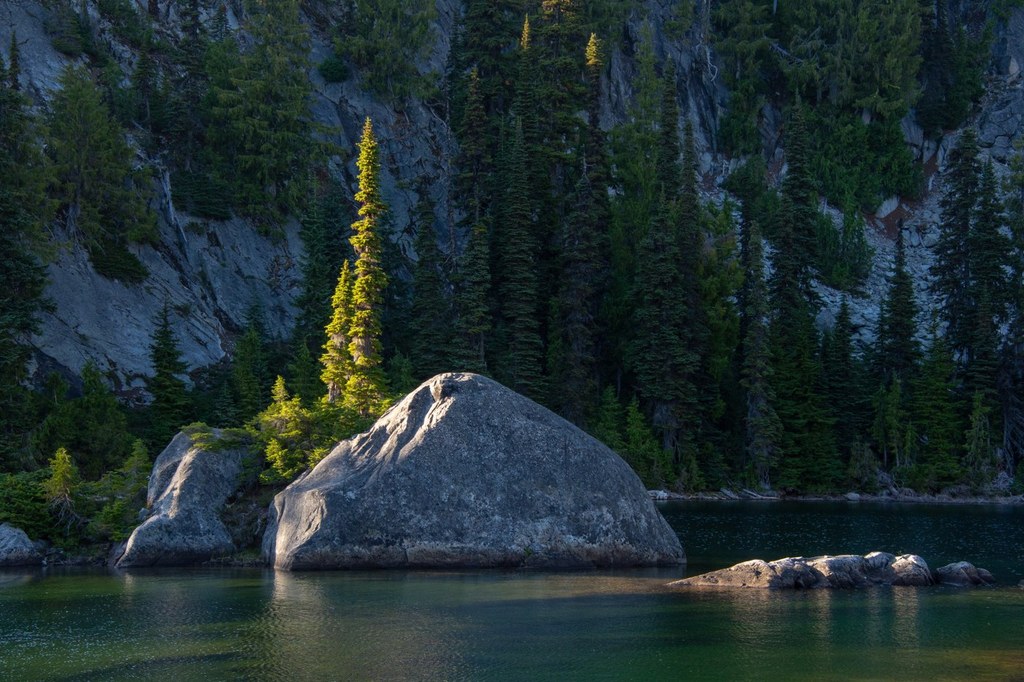
The user route to Tuck Lake begins as a wide path but narrows quickly to a rooty route that heads steeply uphill. After a mile of increasingly steep climbing, arrive at Tuck Lake and Tuck's Pot, two quiet pools in a granite basin surrounded by trees and granite bluffs.
Past Tuck Lake, the trail becomes harder to follow, though it is marked by cairns. You will need a map and route-finding skills to follow it as it heads uphill another 0.7 mile and 800 feet (read: very steeply). You'll wind between rocky bluffs and into a small gully, ending your hike by walking up a granite face with views of Mount Daniel and Cathedral Peak across the way.
Please remember to camp away from the lakeshores and at established sites. Campfires are prohibited in this area, as they are in all areas above 5000 feet in the Alpine Lakes Wilderness.
WTA Pro Tip: From the Robin Lakes basin, you can bag Granite Mountain (not the one with the lookout) and Trico, and explore further to the Granite Mountain Potholes if your scrambling and navigational skills allow it.
 Trailhead


