
This long trail is a great extra-long out-and-back day hike (or — of course — you can turn around any time you like!) or a backpacking trip for folks who are up for the challenge of a difficult-to-follow overgrown trail. Consider bringing a GPS device with you that has the trail labeled on it so you can follow it when the trail gets particularly difficult to follow.
The big pay-off comes about 8 miles into the trail, when you walk out of the thick forest into a large meadow, opening up views of Old Gib to the west.
The trail starts off relatively mild, with a quick climb up from the trailhead leveling out quickly. In about 1.5 miles, the trail narrows on the site of an old landslide — the segment is very short, and having poles and taking it slowly will help.
Continue wandering through the thick forest and you’ll reach the junction with the Rock Creek Tie trail in about 0.8 miles. The junction is signed but can be easy to miss if you aren’t paying attention. The Rock Creek Tie trail connects the Rock Creek Trail to both the Basalt Pass and Basalt Ridge trails, so if you’re hoping to craft a large multi-day backpacking trip, this connection opens up many possibilities!
In half a mile, the trail clears up on the left and you’ll get your first peek of Estes Butte just across the Rock Creek Valley.
As you progress further on the trail, it opens up every so often out of the forest into tall plants, some of which may be thorny or stinging (consider putting on your rain gear!). You’ll also cross several small creeks, most of which are just short jumps or small rock hops — even though this trail has its challenges, you won’t have to worry about carrying a bunch of water!
In about 1.8 miles, you’ll continue your forest hike and enter the Glacier Peak Wilderness, marked by a sign. Very shortly before this is a nice small campsite off the side of the trail with water nearby.
In just under a mile from here, the trail opens up again on the left and you’ll get a wide-open panoramic vista of Estes Butte and Old Gib, and you can even look down into the valley. More views pop up in another 0.4 miles, where you’ll be able to catch glimpses of Fifth of July Mountain to your right.
You’ll cross Rock Creek in half a mile, which might require a ford when the water levels are high.
In 0.6 miles, the trail opens up to meadow, and you’ll get to cross the creek once again. A little ways past this creek crossing is a campsite in the field on the right, good for a few tents. You’ll get great wide views of the nearby peaks and have water nearby.
Forging ahead, in another half mile is a mess of blowdowns, which will likely slow you down on your hike. But if you are willing to put in the extra effort to cross this relatively short but annoying section, you’ll be heavily rewarded.
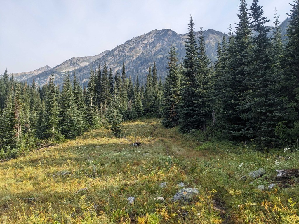
The trail opens up completely into a huge meadow field, and the trees disappear behind you as you continue into it. You’ll be able to see Old Gib and Carne Mountain while meandering through the meadow. After about 1.5 miles, the trail becomes difficult — if not impossible — to find. In theory, the trail joins the Carne High Traverse, but this last part of the trail will likely involve heavy bushwhacking and exceptional navigation skills.

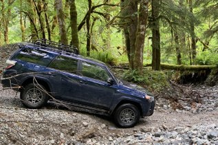
 Trailhead