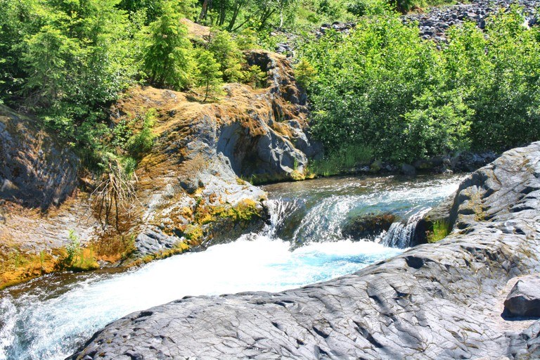
Trails for everyone, forever

Home Go Hiking Hiking Guide Smith Creek
link

Smith Creek

South Cascades > Mount St. Helens
46.1826, -122.0546 Map & Directions
Length
6.0 miles, roundtrip
Elevation Gain
200 feet
Highest Point
1800 feet
Calculated Difficulty About Calculated Difficulty
Easy/Moderate
  • Rivers

Parking Pass/Entry Fee

Northwest Forest Pass

Hiking Smith Creek

Smith Creek

Map & Directions

Trailhead
Co-ordinates: 46.1826, -122.0546 Open in Google Maps

Before You Go

See weather forecast

Parking Pass/Entry Fee

Northwest Forest Pass

WTA Pro Tip: Save a copy of our directions before you leave! App-based driving directions aren't always accurate and data connections may be unreliable as you drive to the trailhead.

More Hike Details

Trailhead

South Cascades > Mount St. Helens

Gifford Pinchot National Forest and Mount St. Helens National Volcanic Monument

Guidebooks & Maps

South Cascades

Green Trails No. 364 Mount St. Helens

You can improve or add to this guidebook entry

Smith Creek

11 Trip Reports

Hiked here recently?

Submit a trip report!
 
Trip Reports