

Trail Lake, like its larger neighbor, Billy Clapp Lake, is a surface water feature along the main canal of the Columbia Basin Project, which manages Columbia River water for irrigation, power, recreation, and flood control. Trail Lake lies in the natural depression of a basalt coulee, and the water levels fluctuate seasonally according to water storage operations.
Interestingly, older topo maps of the region may show a much smaller Trail Lake than is present today.
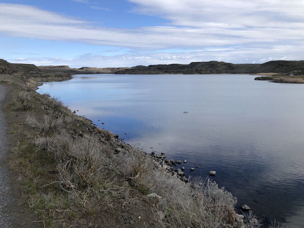
The trail is on a primitive dirt and gravel road on a raised dike between the main irrigation canal and Trail Lake. Note that canal is fast-moving with steep concrete sides; don’t allow pets to go into the water. Also watch for rattlesnakes.
As you walk, you have good views of the columnar basalt surrounding the lake, and you may see waterfowl and deer. You’ll pass a couple of side trails on the right that go down to the lake. The main trail reaches the northern tip of the lake at about 1.4 miles. A narrower trail keeps to the left, adjacent to the canal. A slight right takes you on a wider trail that goes in the same direction; the two paths meet up farther on.
At about 2.5 miles you reach a rock face where two large concrete weirs bring the irrigation water into the main canal. From here, you can turn around and head back for a 5 mi round trip, or you can cross the weirs and explore the tracks to the west and northwest.
WTA Pro Tip: While you’re in the area, visit the interpretive center at Sun Lakes Dry Falls State Park and learn about the local geology.
 Trailhead


