What a gorgeous day to be outside! It felt very spring-like up at South Tiger today. My wife and I put together about 12 miles into what I call the "Middle Tiger Hourglass", starting at the Tiger Mountain Trailhead on Tiger Mountain Road. This was about 2800' of gain and took us 6 hours.
PARKING, CROWDS: Plenty of parking was available along Tiger Mountain Road when we arrived just after 9 AM. No parking pass required. In total, we saw 27 people in 6 hours of hiking, which sounds like a lot but they were really spread out. Four of the people were on mountain bikes, which according to the signs aren't allowed on these trails. Everyone was courteous and enjoying the warm weather. Only three of the people we saw were above the junction with the West Side Road - that's the best place for solitude.
ROUTE: There are quite a few trails and possible turns up here, so having a map or GPS is essential. I'll try to describe our route succinctly. We took the TMT all the way to the intersection with the Middle Tiger Trail. Note that two short parts of this trail are on roads, but they're well signed. We climbed the MTT to the summit and back down. We walked back the way we came on the TMT briefly, then took the decommissioned temporary TMT over to road at 47.47807, -121.96738. This required walking through a clearcut for about 100 yards. We then walked the road to the 2000' knoll, which I just learned is called "Kevin's Point", where we had lunch. From here, we walked down the road to the south, joining the West Side Road and then back to the TMT. We then walked the logging road up to South Tiger as high as we could, and bushwhacked our way over to the South Tiger Summit and back to the road (see more below). Finally, we took the South Tiger Traverse back down to the TMT, returning via the "Horse Bypass" section on the way down. Total distance about 12 miles.
TRAILS: For the most part, all the trails are in really good shape. There are two step-over blowdowns in the first quarter mile of the TMT, and a large one about 1/2 mile in that requires a detour. There are some muddy sections in the first mile, along with some sections of the trail that are washing away. Also, the TMT in this area has old landscape fabric under the trail bed that is exposed in many places - it's pretty unsightly. Parts of the TMT are on old roadbed, but it's still lovely trail. I thoroughly enjoyed the section just north of the West Wide Road - really nicely constructed and it runs alongside the Holder Creek drainage which is some older growth forest. The Middle Tiger Trail is in great shape - I cleared a few blowdowns with my saw and it's all good now.
The service roads around Kevin's Point are quite steep, but pretty good walking either direction. The West Side Road is pleasant, as is the road up to South Tiger. You can walk to within about 100 yards of the South Tiger Summit on the road, but if you want to actually tag the summit, you've got to wade through a pretty nasty clearcut. It's climbing over logs, dodging blackberry bushes, etc. Doesn't take a long time, but it's certainly more Type 2 fun than some people might wish for. What's more annoying is you have to sort of backtrack to get down to the South Tiger Traverse, unless you also want to bushwhack through the lower clearcut. The South Tiger Traverse is in good shape with the blowdowns cleared.
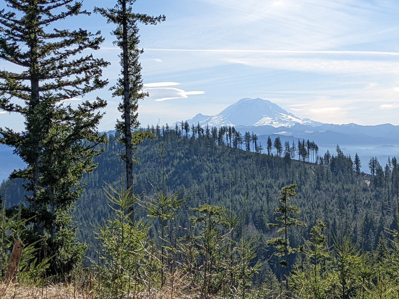
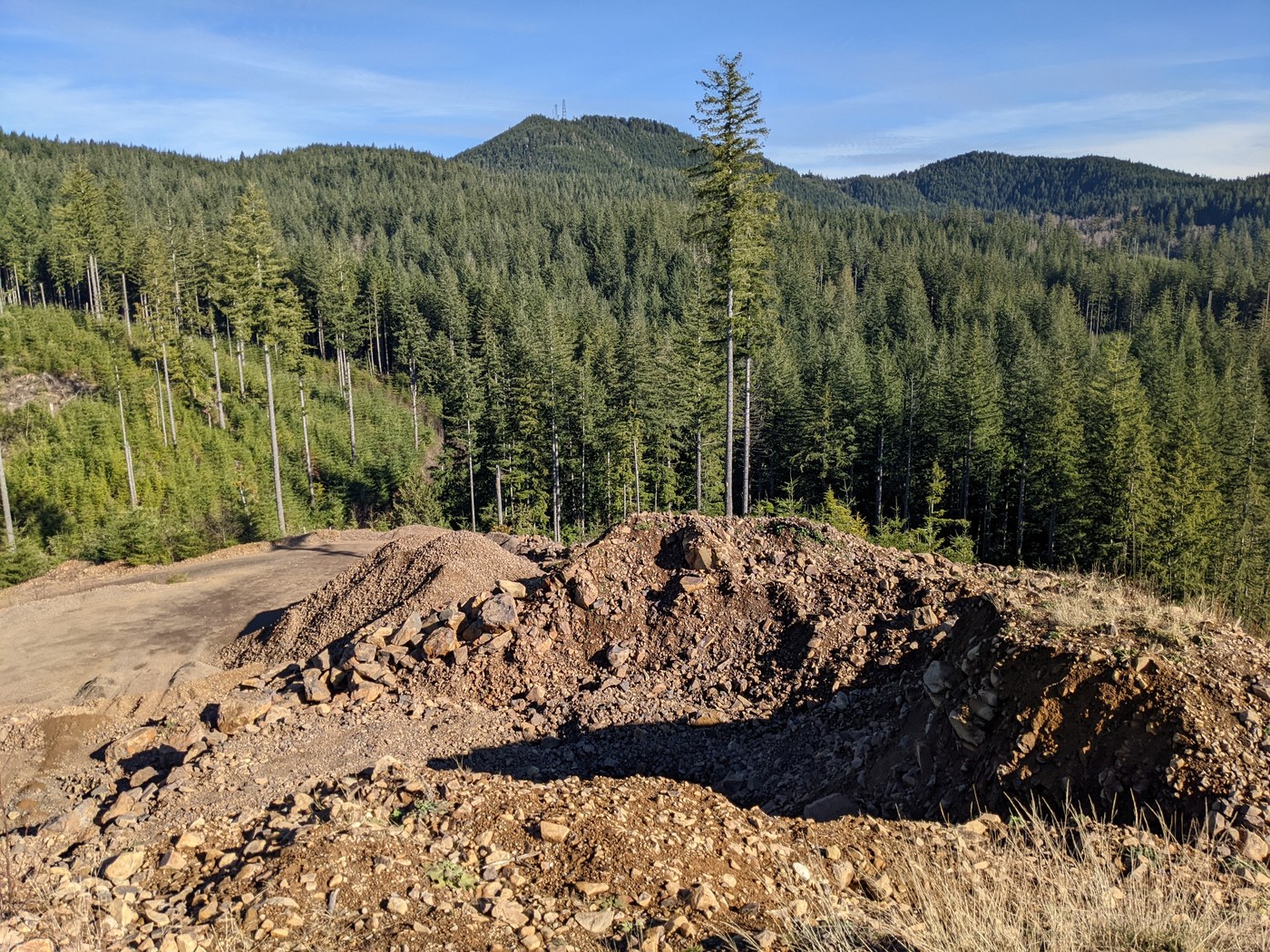
VIEWS: Just so you know, there are no views of anything but trees at the summit of Middle Tiger. Still, it's a short climb and the trail is nice. The best views of this loop by far are at Kevin's Point, as you get basically a full 360 and a cool rock quarry off the north side. You can't see too far north as the view that way is blocked by Middle Tiger, and you can't see too far east since East Tiger and Taylor mountain are in the way. However, there are glorious views of Rainier, Squak Mountain, The Olympics, and pretty much all points to the south and west. Walking down from here, you can see the West Side Road and eventually even a peek of the south launch zone at Poo Poo Point.
The views at South Tiger are OK - Rainier and the southeast view are good here. I wouldn't bother climbing up to the South Tiger Summit in search of more views - they're just as good on the road leading up to it, or on the South Tiger Traverse. There is a decent view looking west from next to the powerline towers on the South Tiger Traverse, but if you get here, it's worth hiking uphill another 10 minutes or so to get great views of Rainier to the south.
NOTE: Be aware that the location of the TMT has changed in the last year or two, if you have an old map. The current TMT runs entirely east of the clearcutting from 2021, turning to the west around where it meets the Middle Tiger Trail.


Comments