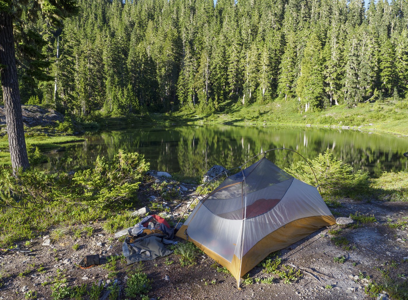
This was a 5-day trip. It all coincided with a heat wave, so things were brutally hot in most exposed areas, and I won't complain any more on that front. Bugs were moderately bad in damp subalpine areas, almost absent in dry montane areas; generally bug repellent was only needed in camp. I went in at the head of road on the S Fk Skokomish. The ONF portion of the trail was very well maintained, someone had very recently cut out all the deadfall (fresh chainsaw shavings). The ONP portion was easy to follow, with some brush and deadfall. There are decent campsites in ONF at (47.505, -123.476) and (47.520, -123.503), and one in ONP at (47.529, -123.513). Next came the Six Ridge trail. It breaks out into 4 legs. The first leg runs past Sundown Lake (ONP campsite) and climbs steeply to Six Pass. Although in 1934 the CCC built this to be a packhorse trail, it now has a very narrow tread, almost gone in places, with considerable brush and occasional deadfall. One or two places, falling off the trail might kill you. Still, easy enough to follow, and no snow. The second and longest leg follows the south side of Six Ridge east to the junction with the Seven Stream and Lake Success trails. If you've never heard of them, no surprise, they haven't been maintained in years. Amazingly this route was once considered for construction of a highway: https://npshistory.com/publications/olym/staircase-graves-creek-rd.pdf . This section of the trail is rough. It hasn't seen any maintenance in years. The footbed is usually visible, but sometimes vanishes entirely, especially at subalpine bogs; don't expect to have dry feet. A good map and GPS are essential. The brush is often dense, obscuring the trail, and there's a moderate amount of deadfall. The trail is almost always steep, going steeply up or steeply down, usually with a bog at the inflection point. There's a pretty nice campsite at (47.544, -123.499), though you'll have to go down the trail a bit to find water. I camped at McGarvey Lakes, (47.546, -123.488), a beautiful site although buggy. There's an ONP site, Belview, at (47.554, -123.456), a decent spot with room for up to about 5 tents. The third leg is pretty much on top of the Six Ridge. Views are spectacular in the open spots, but the trail is relentlessly steep up and down with extensive deadfall and there is no water. Mostly, the trail is easy to spot. The fourth leg drops from Six Ridge to the confluence of Six Stream with the N Fk Skokomish and again has no water at all, and is narrow, steep, brushy, and has quite a bit of deadfall despite past WTA efforts on this bit. Moving on... the trail up the N Fk Skokomish is practically a highway, with recent significant work done. No problems. I spent the night at Nine Stream, a pleasant and popular spot. Smooth sailing the next day over High Divide and down to Upper Dungeness. The trail is not maintained quite as well as the N Fk Skokomish, but still easy to follow, dry feet and little deadfall. The crossing of the Dungeness was dry feet, and the trail from there to Marmot Lake was in fine condition, though it could stand to be brushed out a bit. Marmot was popular, quite a few tents. Next day I followed the trail over O'Neill Pass and north to the N Fk Quinault; it's all in splendid condition, and swimming in wildflowers to boot. The trail up Anderson Pass was also in very good shape. Finally, the trail all the way down the Dose from Anderson has got crews working on it right now, and it's a beautiful thing, with freshly improved footbed, brush removed, new bridges and boardwalks where needed... no problems at all. Spent my last night at Big Timber (very popular site) and made it out to the Dose trailhead in just a few hours. Lots of dayhikers below the Dosewallips Campground, where they've just finished demolishing the old ranger station.
Trip Report
Upper South Fork Skokomish River, Six Ridge, North Fork Skokomish River, Upper Duckabush, O'Neil Pass, West Fork Dosewallips River, Main Fork Dosewallips River & Dosewallips River Road — Monday, Jul. 15, 2024
 Olympic Peninsula > Olympia


Comments
pseudotsuga on Six Ridge, Upper South Fork Skokomish River, Upper Duckabush, West Fork Dosewallips River, Dosewallips River Road, Main Fork Dosewallips River, North Fork Skokomish River, O'Neil Pass
"Smooth sailing the next day over High Divide and down to Upper Dungeness. The trail is not maintained quite as well as the N Fk Skokomish, but still easy to follow, dry feet and little deadfall. The crossing of the Dungeness was dry feet, and the trail from there to Marmot Lake was in fine condition . . . "
I assume you mean smooth sailing over First Divide and down to Upper Duckabush?
Posted by:
pseudotsuga on Jul 30, 2024 07:19 PM
scooterdavis on Six Ridge, Upper South Fork Skokomish River, Upper Duckabush, West Fork Dosewallips River, Dosewallips River Road, Main Fork Dosewallips River, North Fork Skokomish River, O'Neil Pass
Thanks! We're heading up to Lacrosse basin next week via the Dosewallops. We've been to Hart lake/Lacrosse basin several times, but never from the Dose.
Posted by:
scooterdavis on Jul 31, 2024 08:53 PM
Nuckers on Six Ridge, Upper South Fork Skokomish River, Upper Duckabush, West Fork Dosewallips River, Dosewallips River Road, Main Fork Dosewallips River, North Fork Skokomish River, O'Neil Pass
Nice report, thanks. I've had my eye on Lake Success for a few years. Not sure if getting there via the Lake Sundown route, I've been to Lake Sundown a few time, or from Staircase would be better/easier. It sounds like either way is a bushwacking and route finding adventure. Any thoughts?
Posted by:
Nuckers on May 12, 2025 05:06 AM